Skip to content
New: the 9 Art Prints gift card · They choose the print · Never expires
4.9/5 From 210 Reviews
500+ Cities Served Internationally
Free Shipping Worldwide
Gift Cards

Cart

Your cart is empty

Shop by Subject · 150 prints

Vintage Map Art Prints

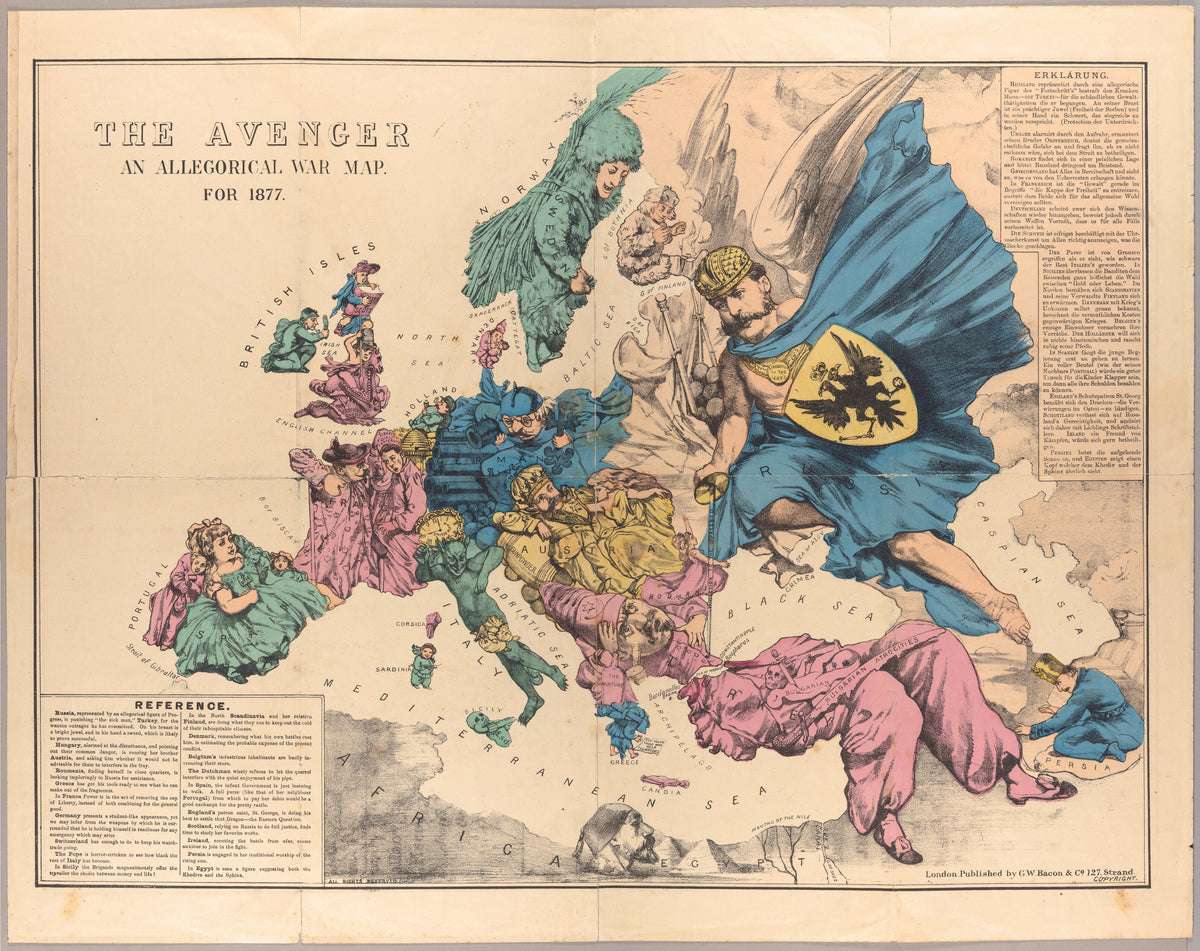
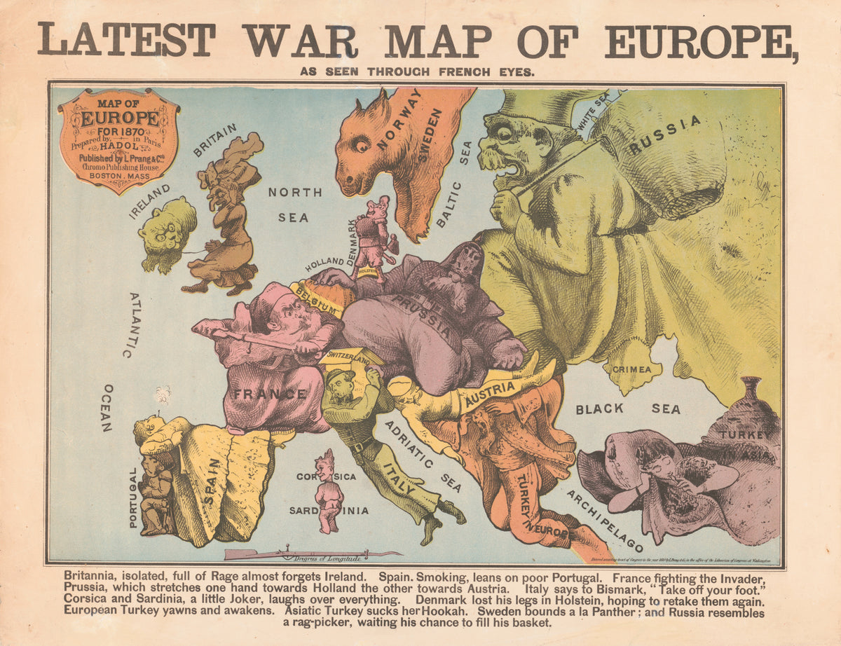
Vintage and antique map prints: world maps, sea charts, city plans, pictorial maps, satirical maps and celestial charts from the 16th century to the 1930s. The collection includes a Portuguese nautical chart by Fernão Vaz Dourado (1571), world maps by Melchior Tavernier (1636) and Guillaume Delisle (1732), Andreas Cellarius's celestial atlas (1660), and 19th-century city plans of London, Berlin, Amsterdam, Venice and Basel. Pictorial maps from the 1920s include MacDonald Gill's Wonderground Map of London and maps of Manhattan, New York and Bermuda. Satirical and allegorical maps include war maps of Europe from 1870 and 1877 and Robert Dighton's caricature map of Scotland (1794). Geological, lunar and solar system maps are also included.

The maps were chosen as much for their drawing and lettering as for their geography.

The maps suit studies, home offices and entryways. All prints are museum-quality reproductions, available unframed or framed with acrylic glazing, with free shipping and import duties covered.
Of Foreign Lands and Peoples — Robert Schumann
Browse all 150 prints
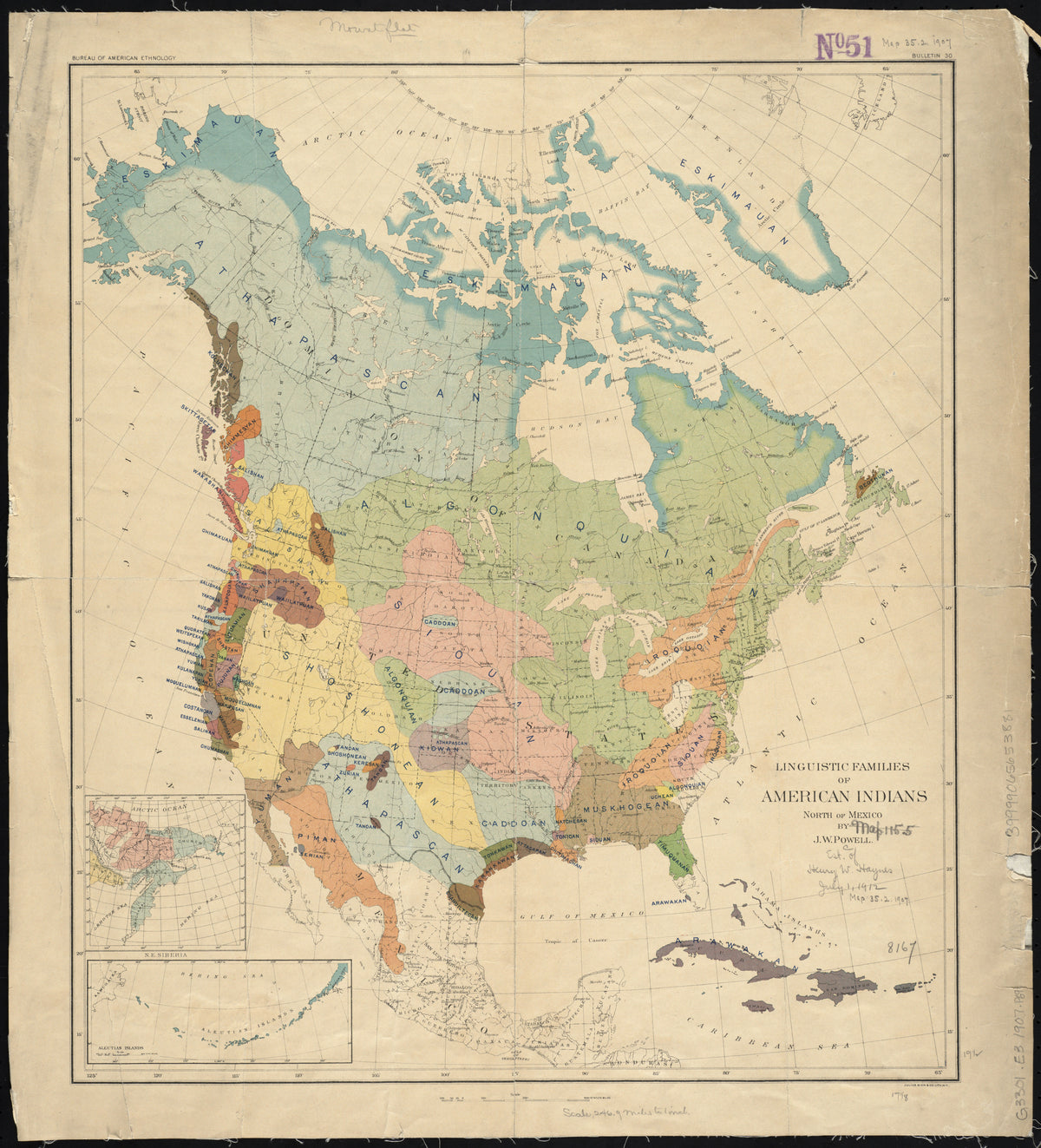
Linguistic Families of American Indians North of Mexico by John Wesley Powell — North America tinted by language family
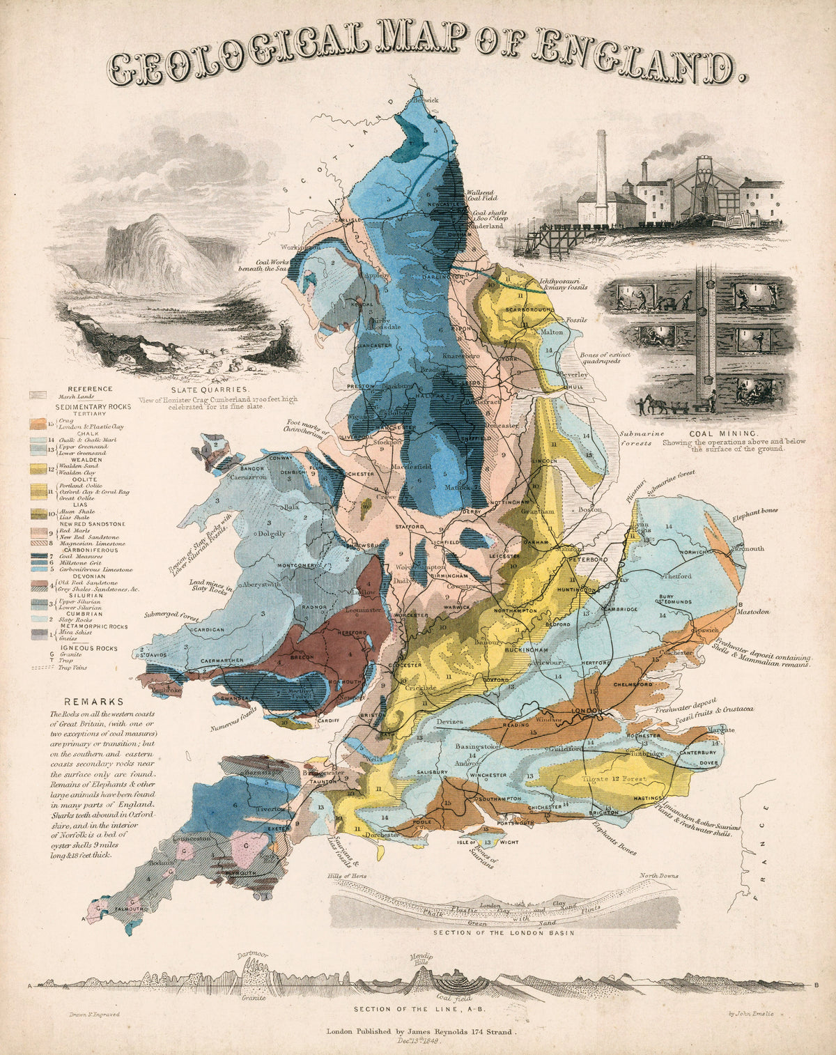
Geological Map of England by John Emslie — England's rock layers in blue, yellow and rose
Andreas Cellarius — A Scenographic View of the Ptolemaic World System (Plate 2, Cream Colouring) | Celestial Map Print - 9ArtPrints
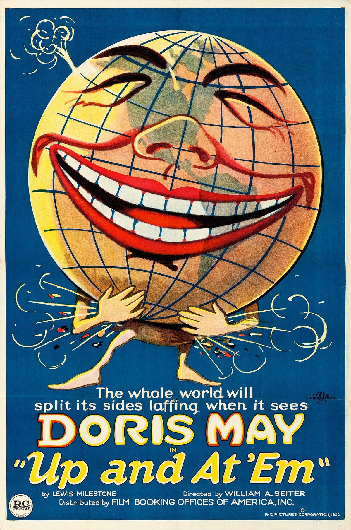
Up and at 'Em (1922) — A grinning globe clutches its sides and splits the seams laughing
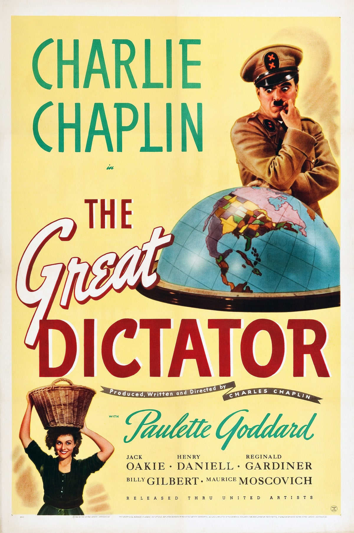
The Great Dictator (1940) — A uniformed man chews his nails over a half-globe of the Americas
À la Conquête du Pôle (1912) — A smiling sun and a polar globe under curtains of aurora
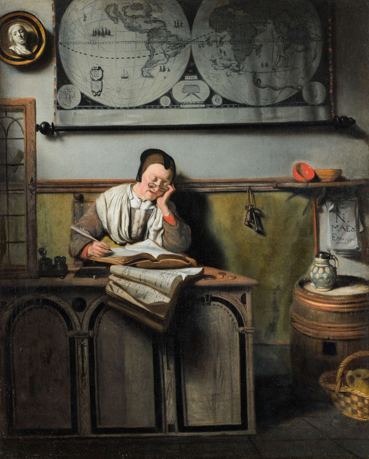
The Account Keeper by Nicolaes Maes — A bespectacled woman writes in her ledger beneath a great map
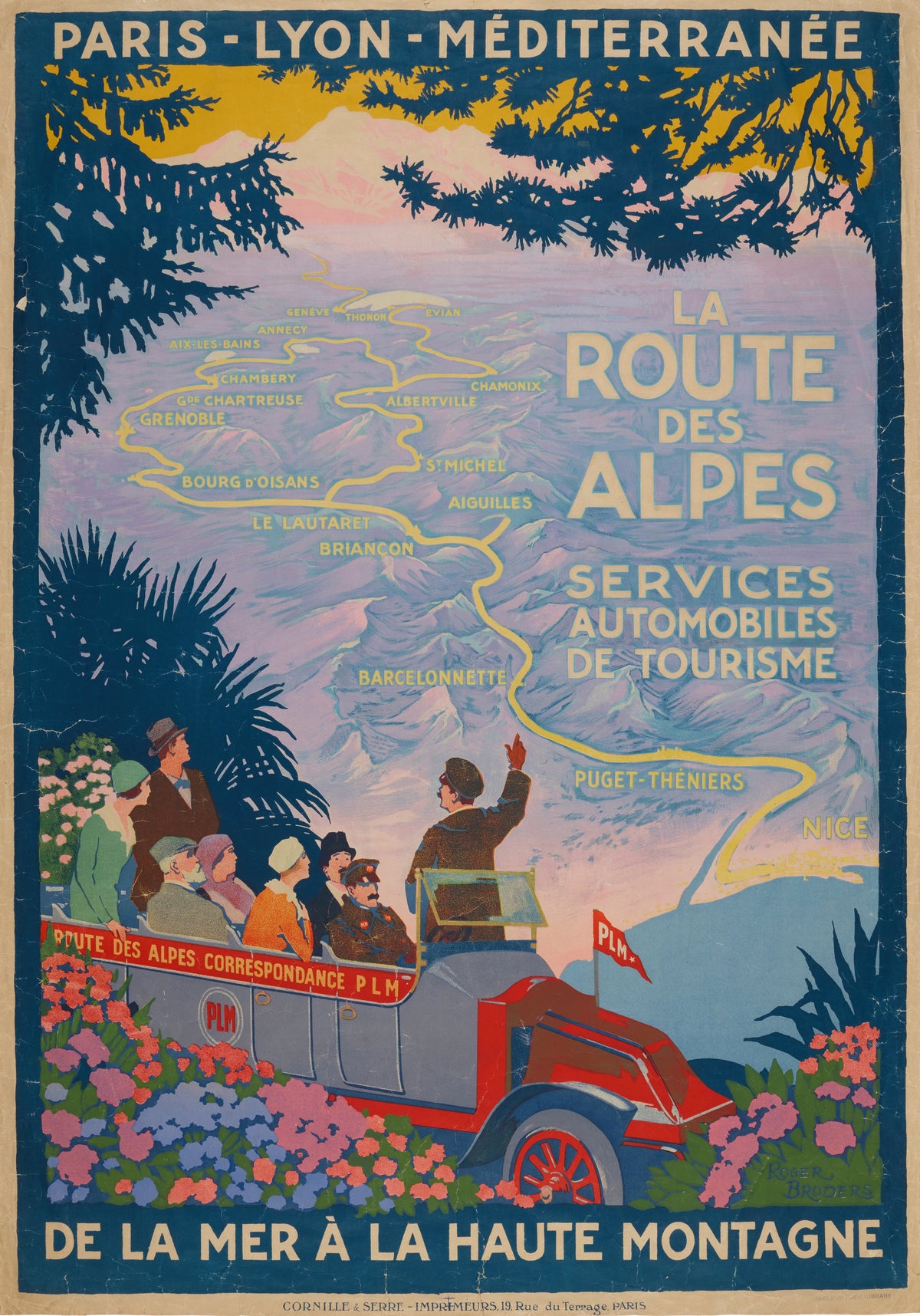
La Route des Alpes by Roger Broders — Passengers in an open coach look over a mapped Alpine route
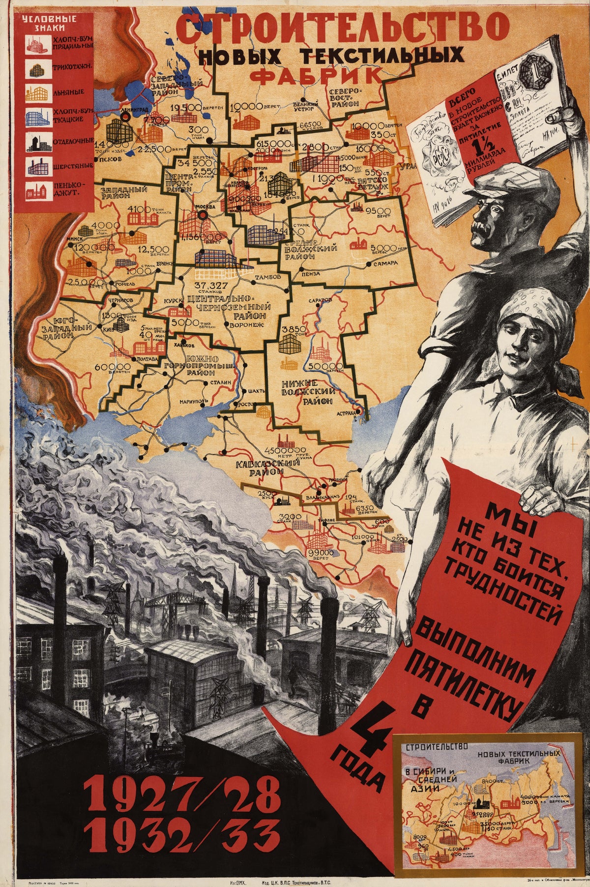
Construction of new textile mills: we are not the kind who fear difficulties; we will fulfil the five-year plan in four years — A factory map of Russia beside
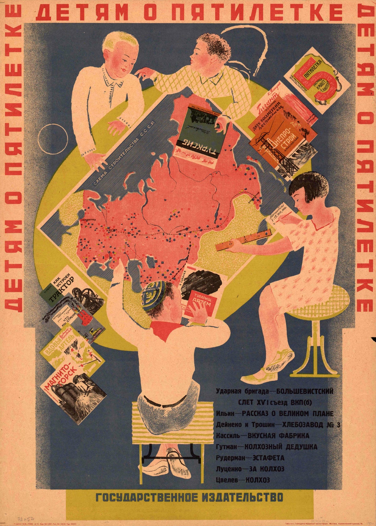
To Children About the Five-Year Plan — Four children study a map of the Soviet Union among picture books
Fortified City of Ranthambhor by Jaipur school — A fortress plateau seen from above, with ponds, palaces and a town
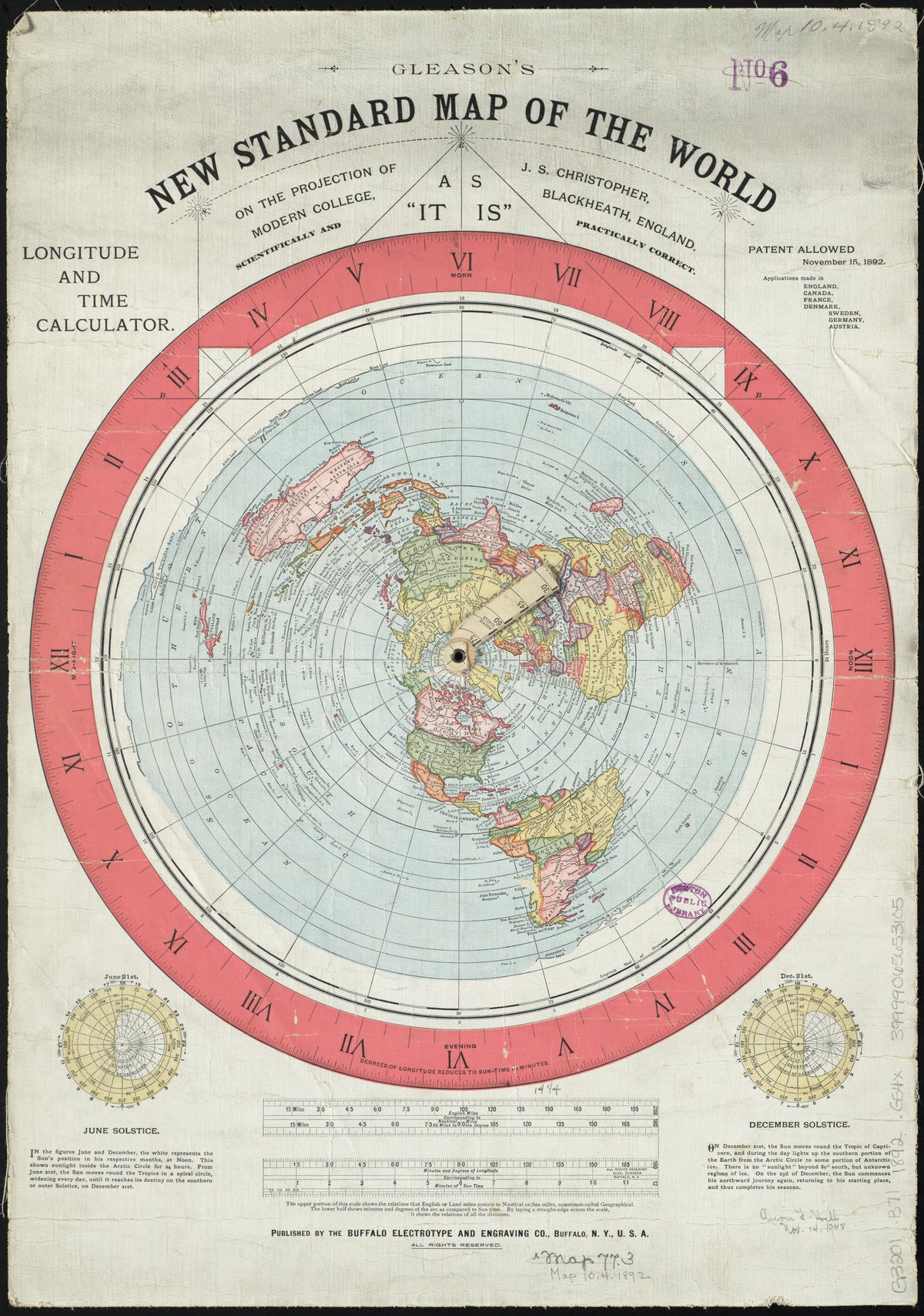
Gleason's New Standard Map of the World by Alexander Gleason — The world spread out from the North Pole
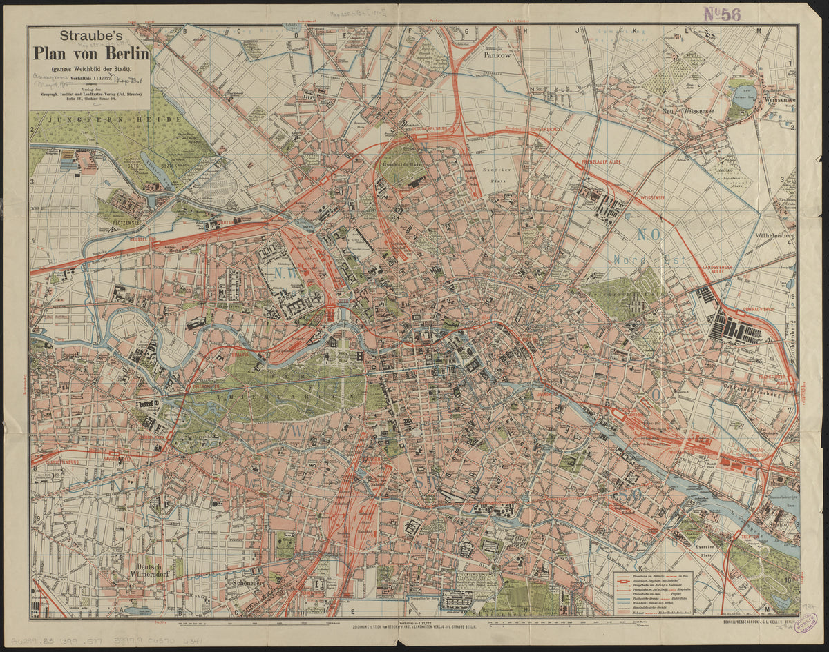
Straube's Plan von Berlin by Julius Straube — Berlin's rail lines and parks on a pink street plan
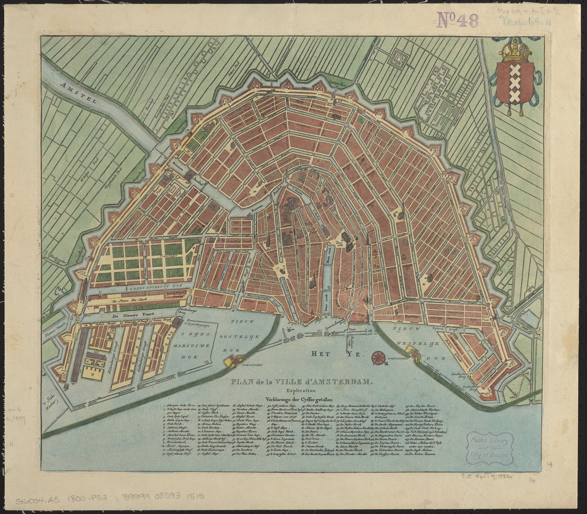
Plan de la Ville d'Amsterdam — Amsterdam's canal fan inside a star-shaped rampart
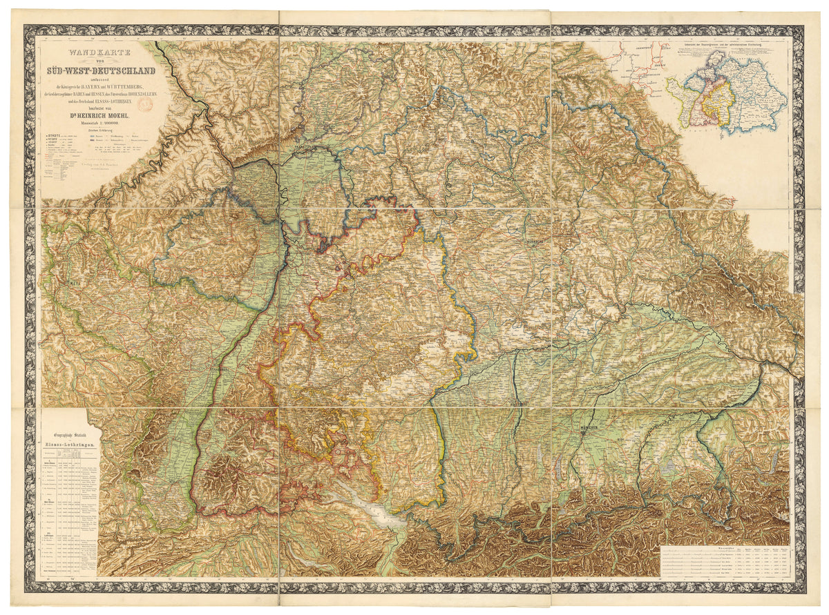
Wall Map of South-West Germany (Wandkarte von Süd-West-Deutschland) by Heinrich Moehl — A wall map of south-west Germany in shaded browns
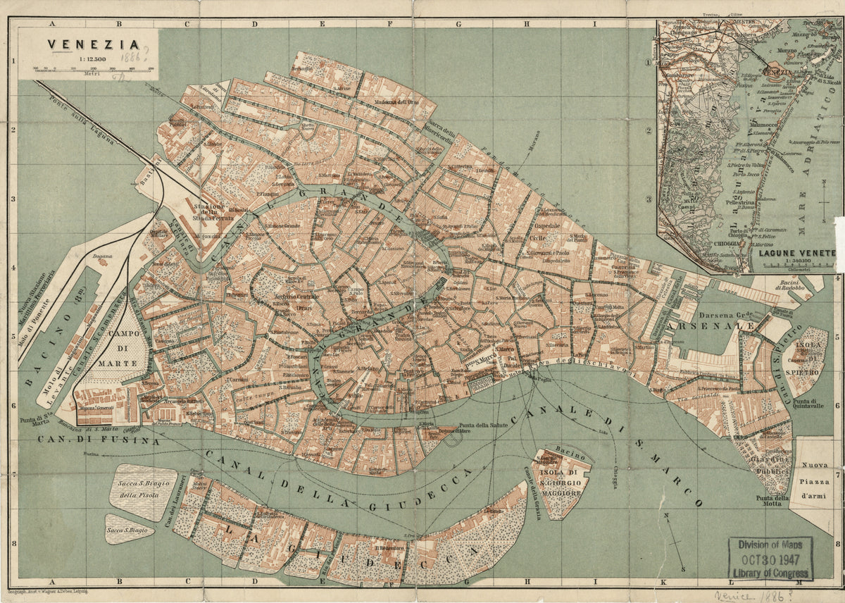
Venezia by Wagner & Debes — Venice's canals and lagoon in salmon and sage
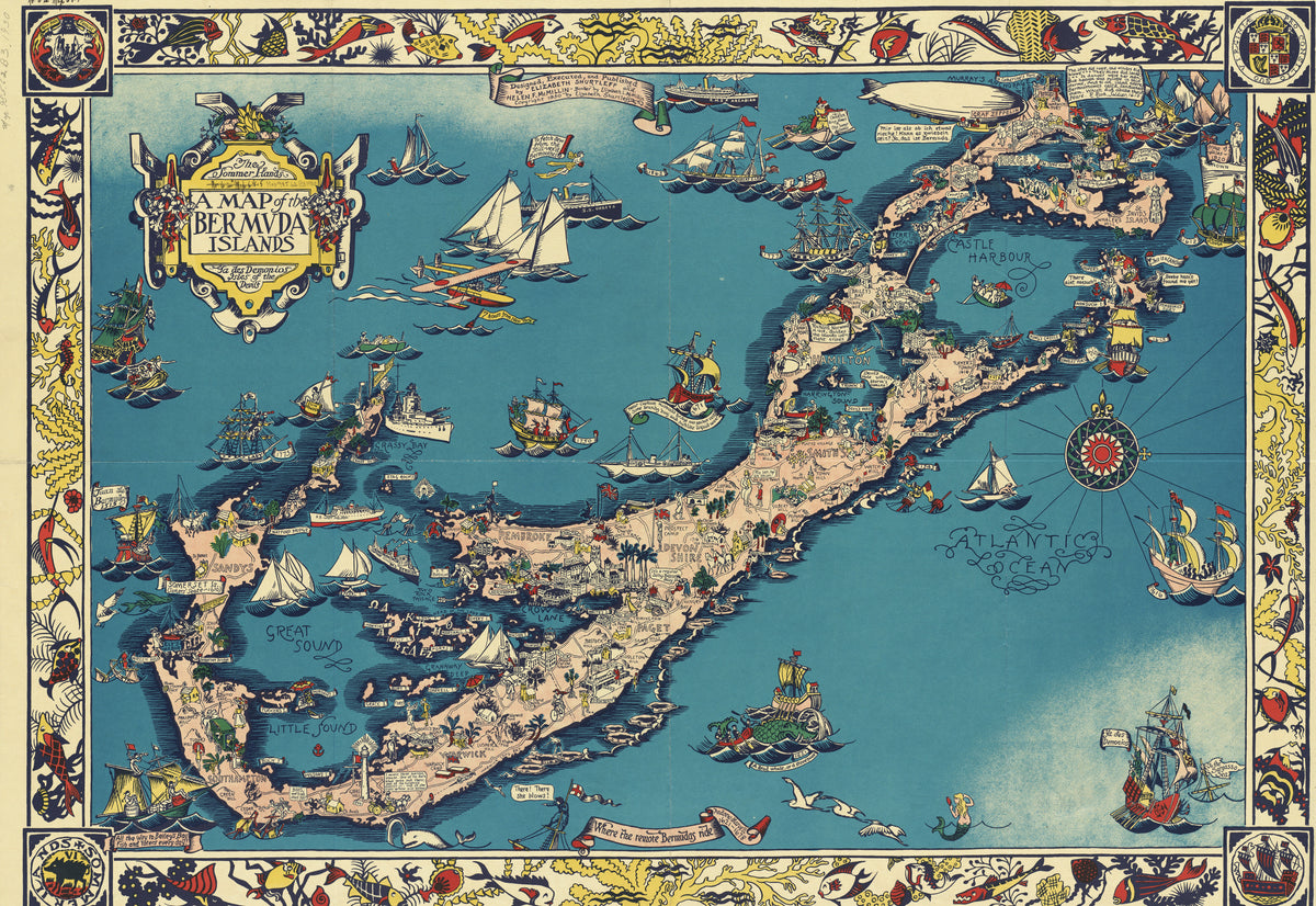
A Map of the Bermuda Islands by Elizabeth Shurtleff — Bermuda in teal and coral, crowded with ships from every age
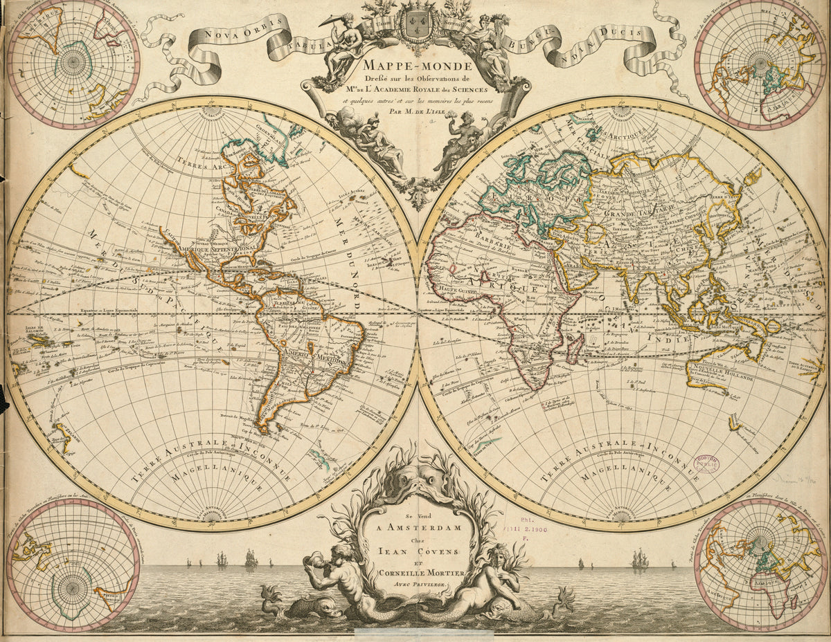
Mappe-Monde by Guillaume Delisle — A double-hemisphere world with ships and sea gods below
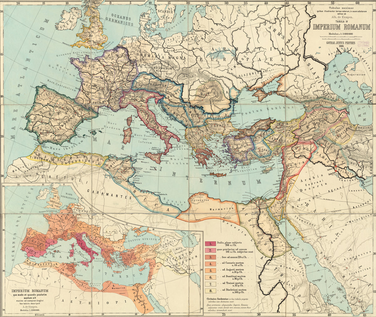
Imperium Romanum (Tabulae Maximae) by Albert van Kampen — The Roman Empire at its height, outlined in pink, orange and yellow
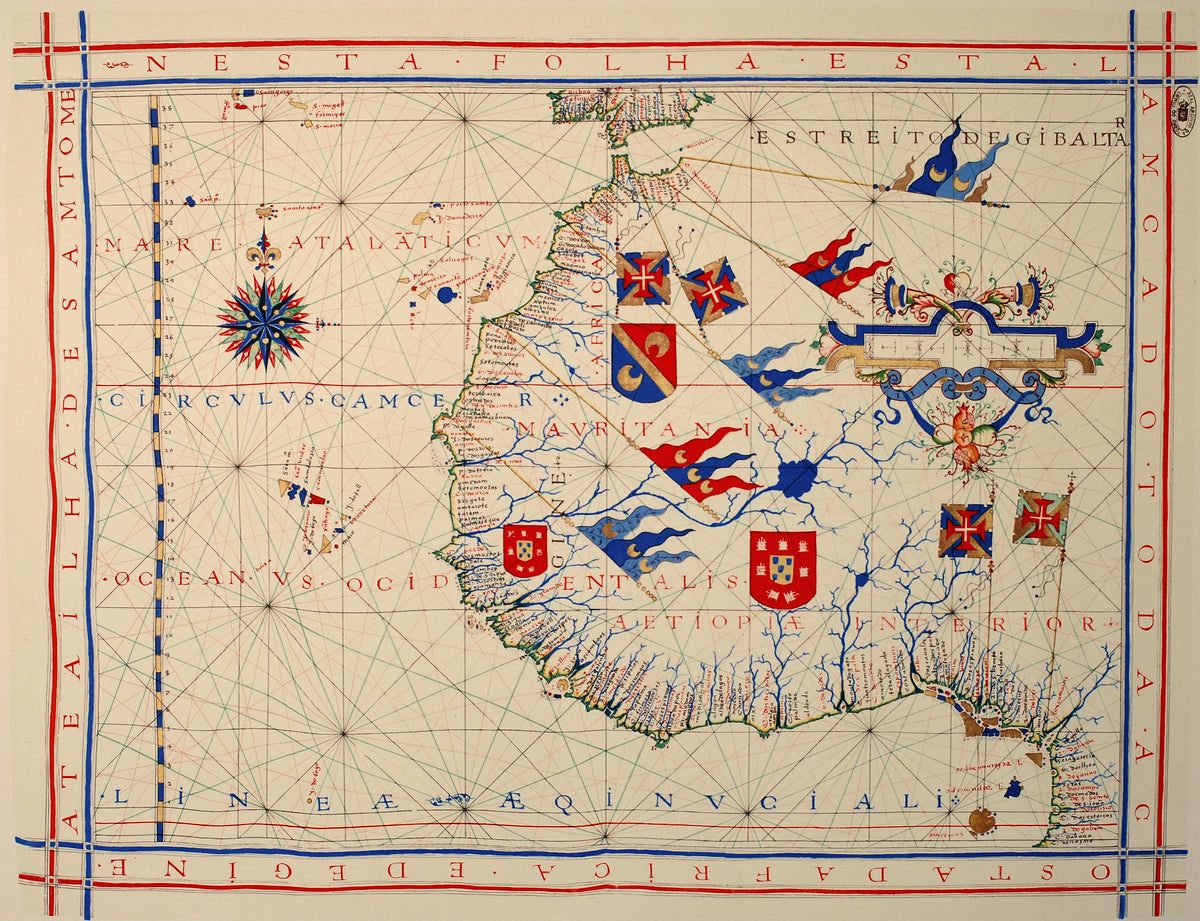
Nautical Chart of West Africa (Vaz Dourado Atlas) by Fernão Vaz Dourado — A West African coast chart with royal shields and a compass rose
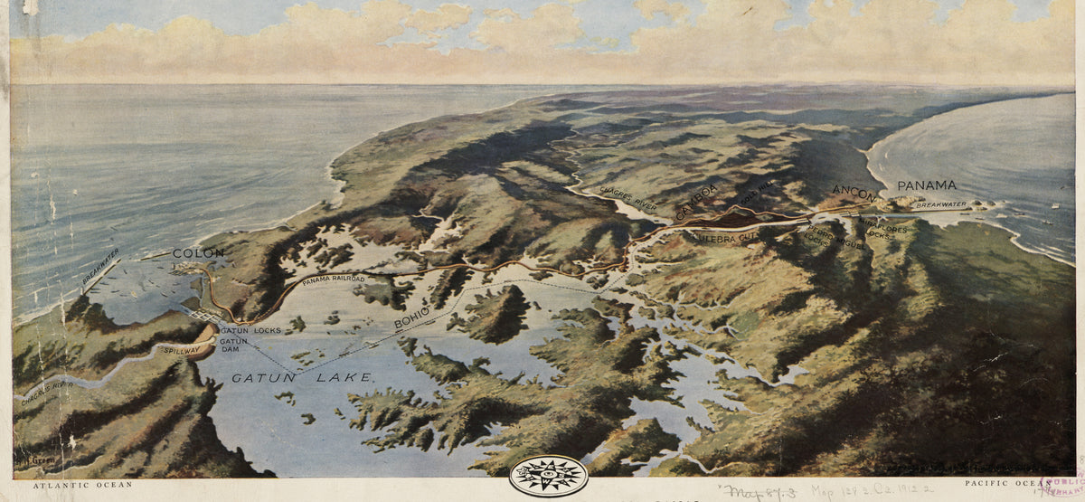
Bird's-Eye View of the Panama Canal by National Geographic Society — Aerial view of the Panama Canal route across the isthmus
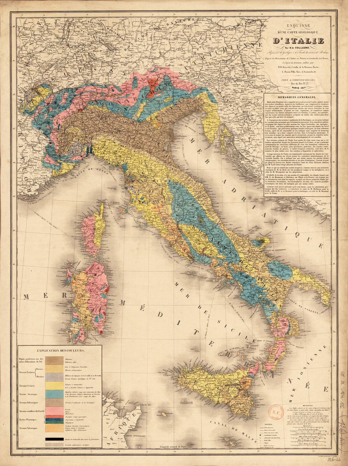
Esquisse d'une carte géologique d'Italie by Hyacinthe de Collegno — Italy tinted by rock formation, from the Alps to Sicily
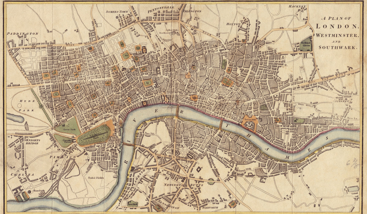
A Plan of London, Westminster and Southwark by Richard Phillips — London's streets wound around a pale blue Thames
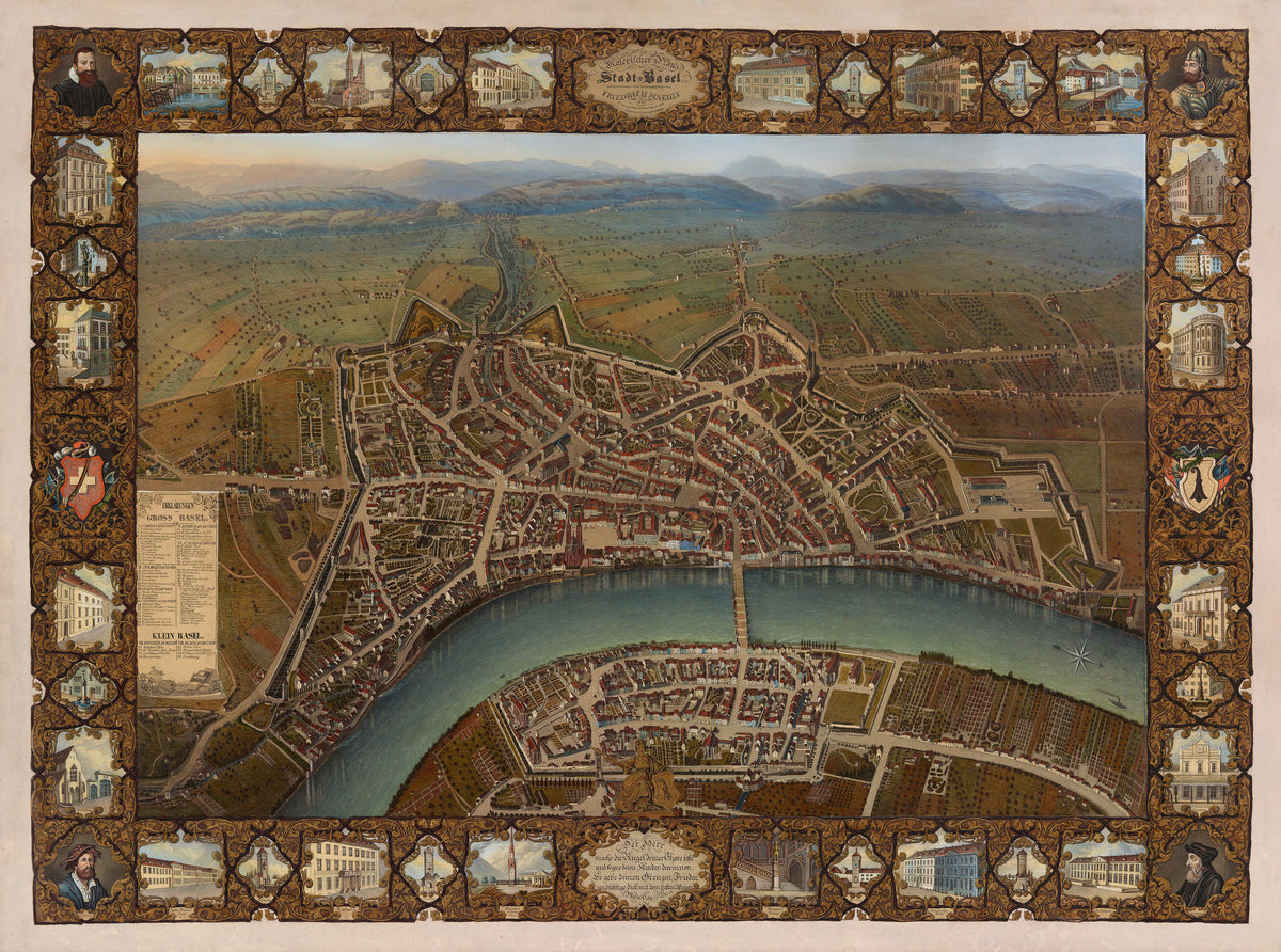
Malerischer Plan der Stadt Basel by Johann Friedrich Maehly — Basel in bird's-eye view inside a gilded scroll border
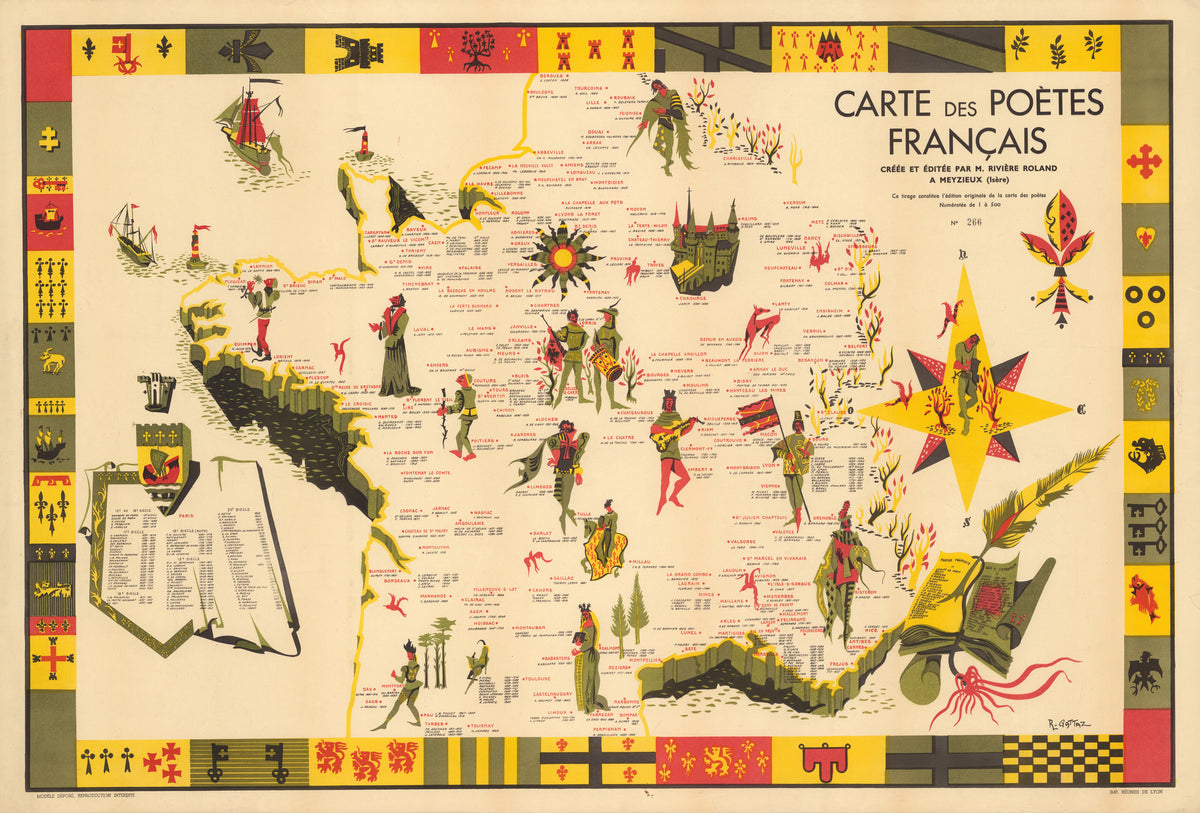
Carte des Poètes Français by R. Gattaz — France mapped by its poets, edged in heraldic blocks
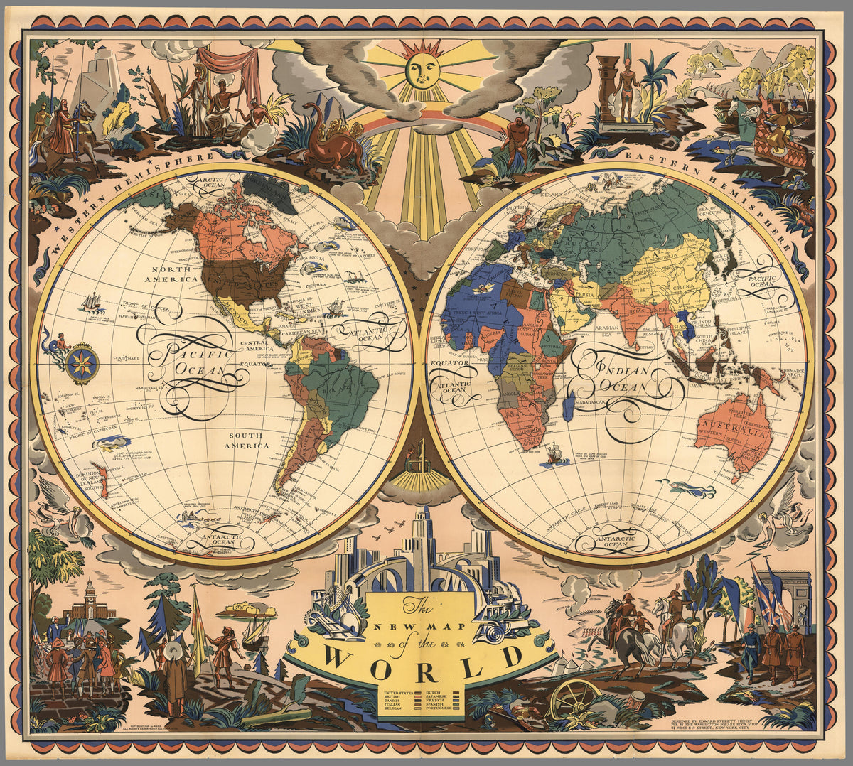
The New Map of the World by Everett Henry — Two hemispheres under a sun with a face
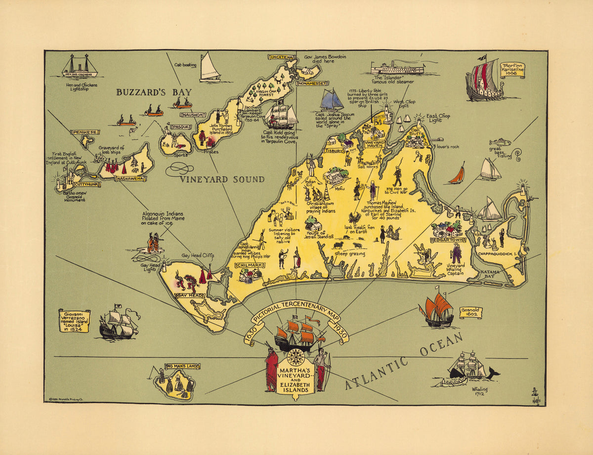
Pictorial Tercentenary Map of Martha's Vineyard and Elizabeth Islands by Reynold's Printing Co. — Martha's Vineyard in yellow on a sage-green sea
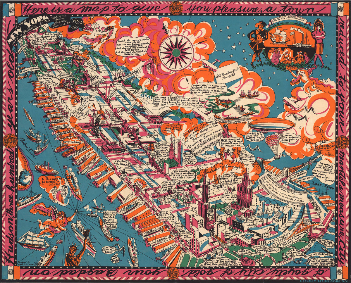
A Map of New York by Joseph B. Platt — Manhattan drawn as a slanting dream of piers and clouds
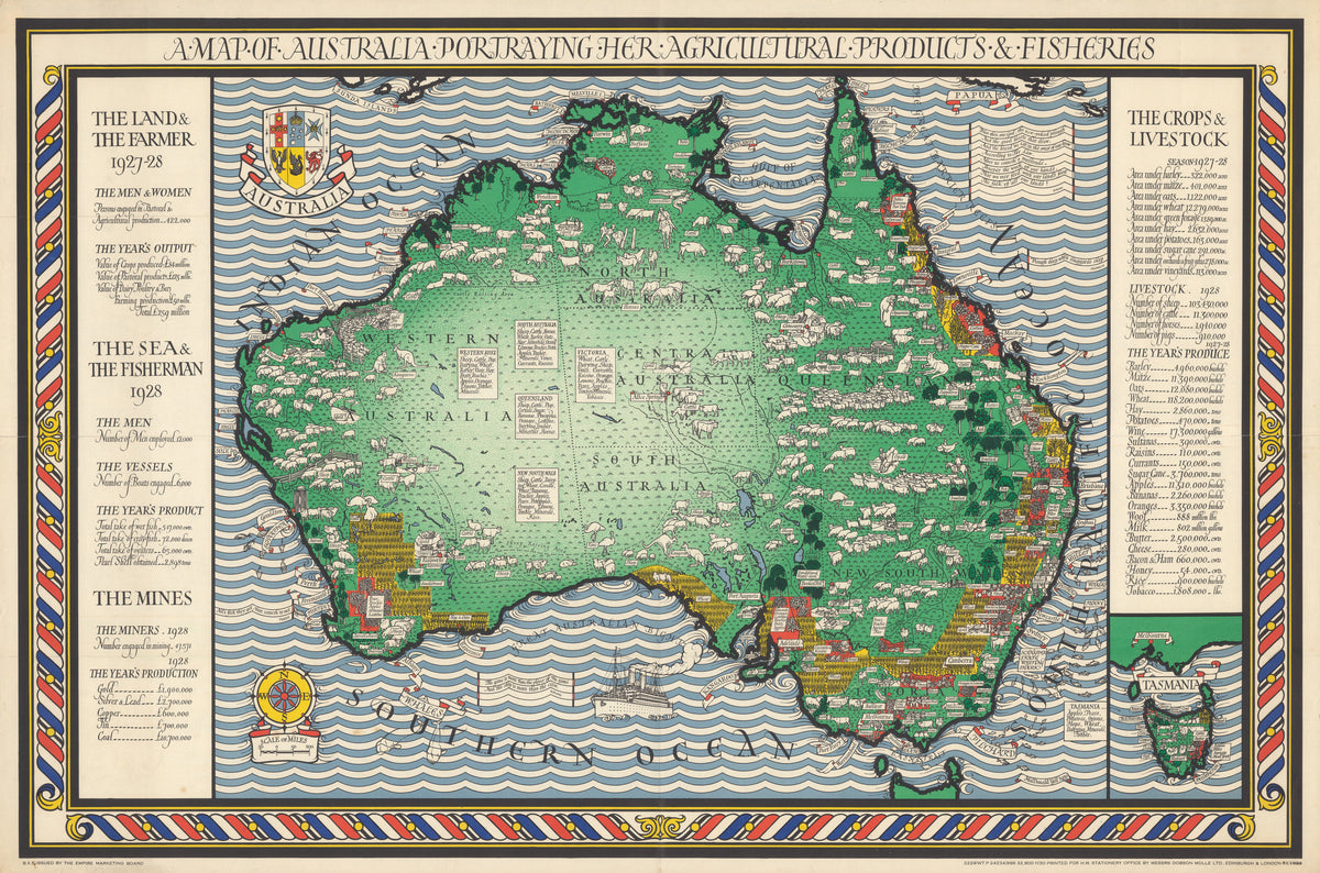
A Map of Australia Portraying Her Agricultural Products & Fisheries by MacDonald Gill — A green Australia in a sea of blue and white waves
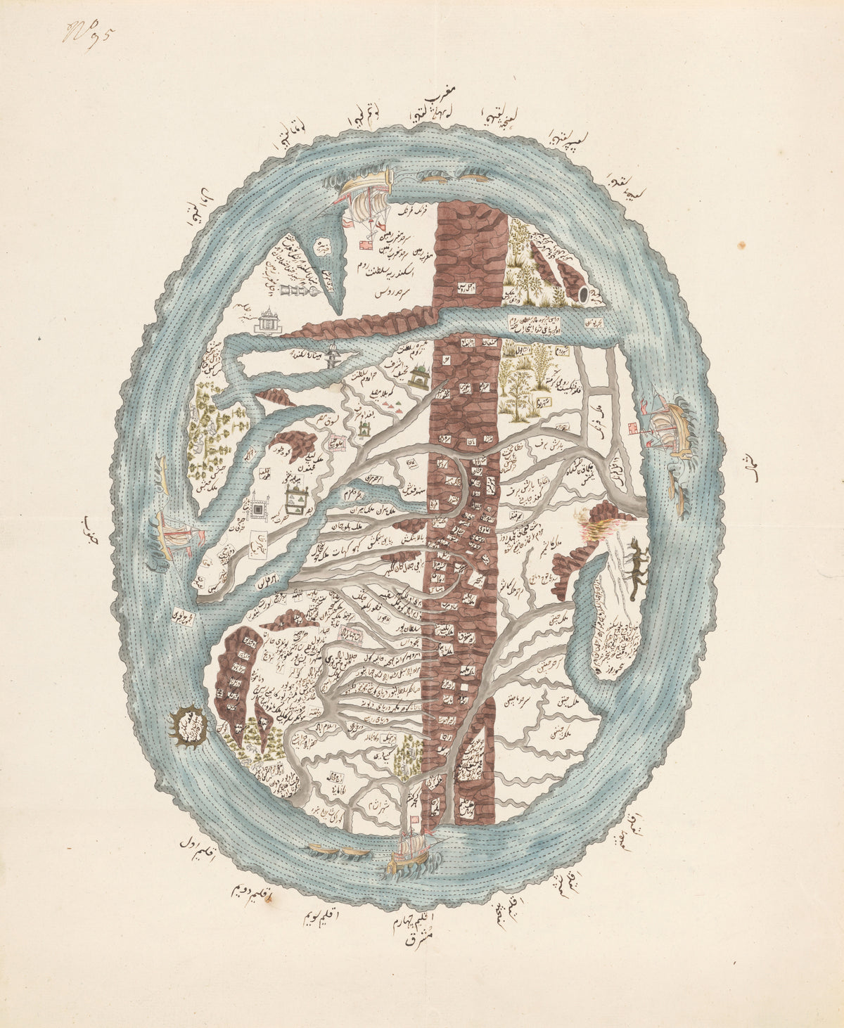
Map of the Islamic World — An oval world ringed by ocean and four sailing ships
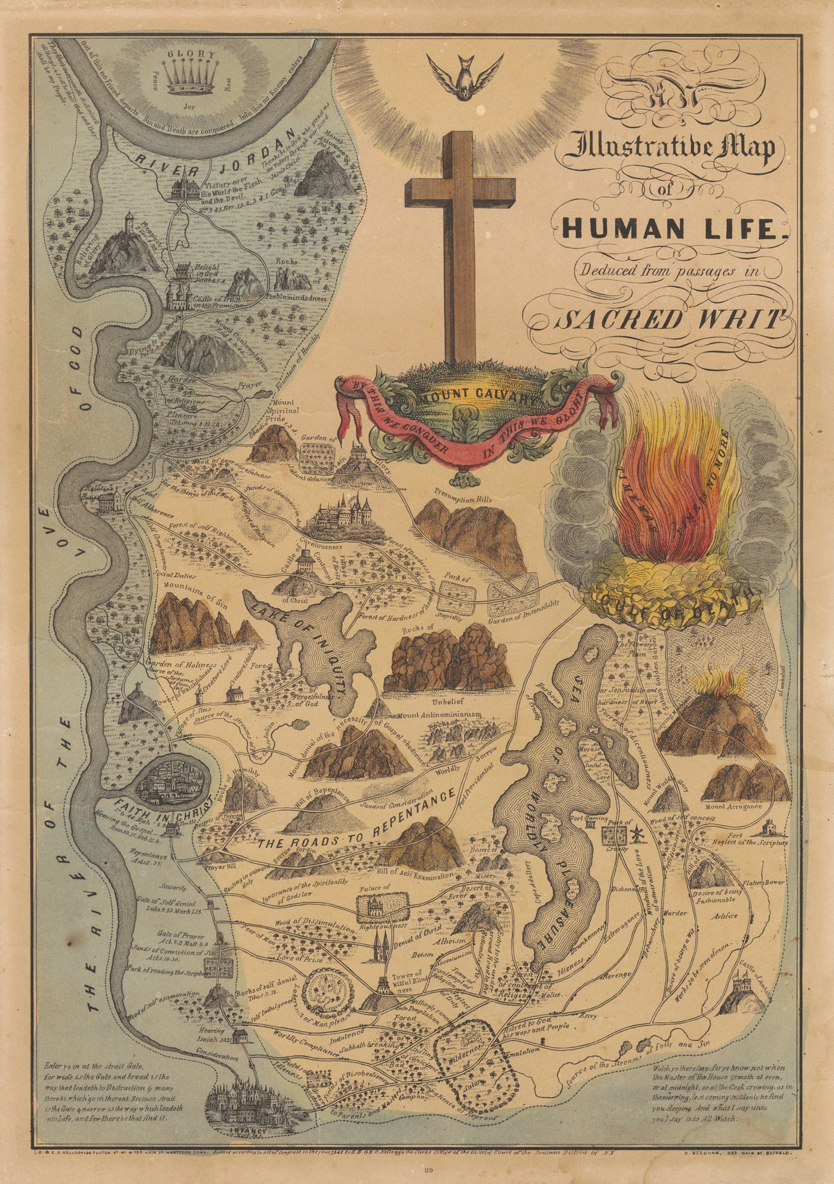
An Illustrative Map of Human Life Deduced from Passages in Sacred Writ by E.B. & E.C. Kellogg — A Christian life charted as roads, mountains and a sea
The Avenger: An Allegorical War Map for 1877 by George Washington Bacon — Europe as a cast of figures beneath a striding Russia
Latest War Map of Europe, as Seen Through French Eyes by Louis Prang & Co. — Europe at war in 1870 as a cast of caricatures
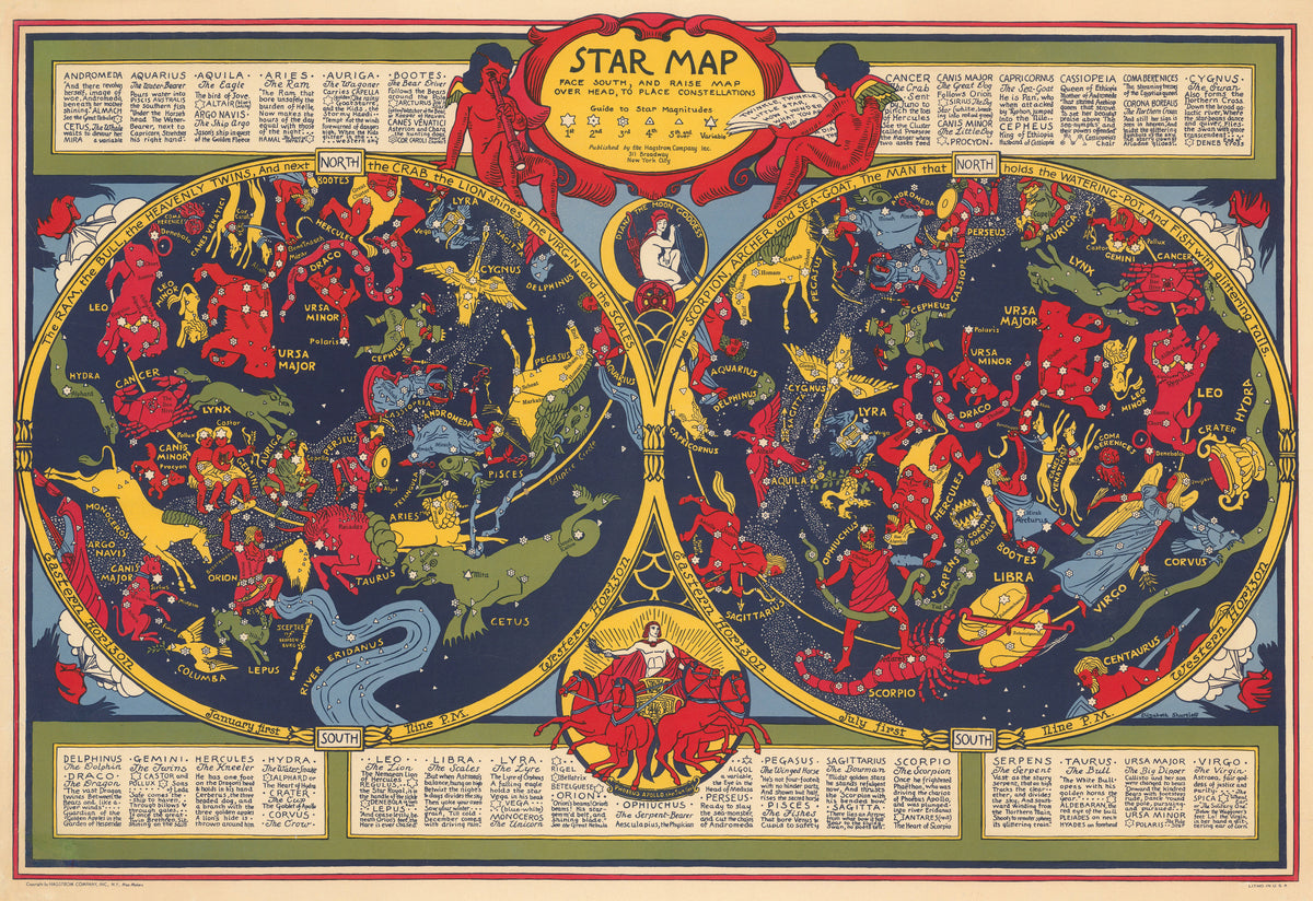
Star Map by Elizabeth Shurtleff — Two star maps of red, yellow and green constellation figures
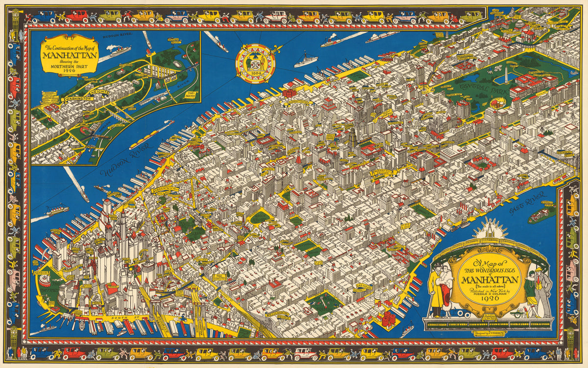
A Map of the Wondrous Isle of Manhattan by C. V. Farrow — Manhattan in bird's-eye view, edged by a border of cars
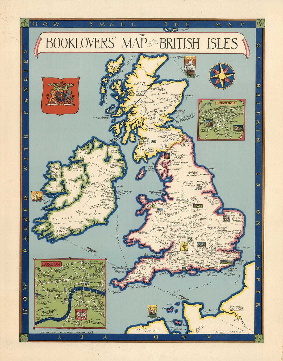
The Booklovers' Map of the British Isles by Paul Mayo Paine — The British Isles dotted with literary landmarks
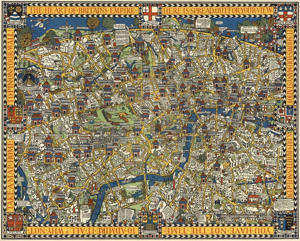
The Famous Wonderground Map of London Town by MacDonald Gill — Central London as a crowded, comic jigsaw of streets
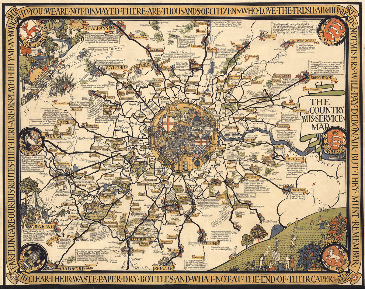
The Country Bus-Services Map, London and Vicinity by MacDonald Gill — London's bus routes radiating from a walled City medallion
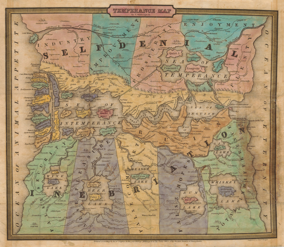
Temperance Map by John Christian Wiltberger Jr. — A moral map from Self-Denial to Ruin, with lakes of drink
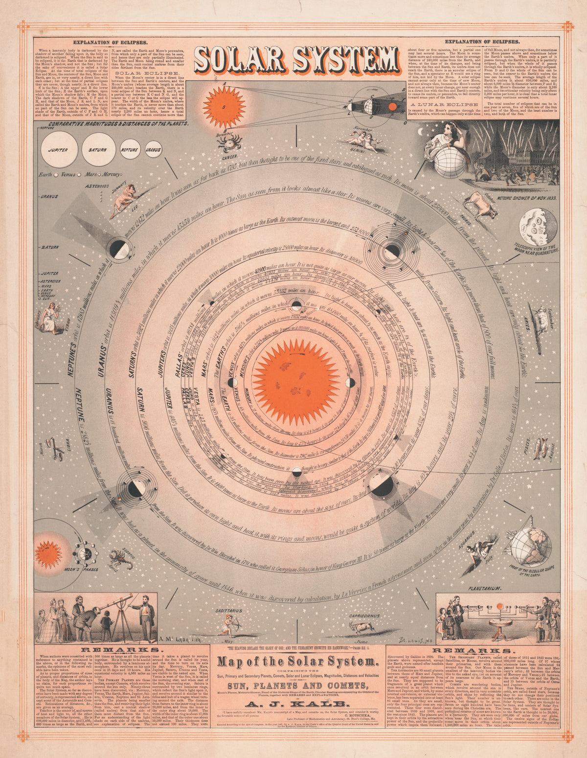
Map of the Solar System by A. McLean — Planetary orbits ringed by zodiac figures and eclipse diagrams
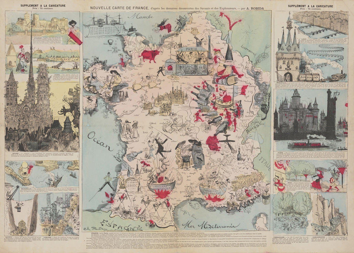
New Map of France, After the Latest Discoveries of the Scientists and Explorers by Albert Robida — France as a comic map of wine, cauldrons and city views
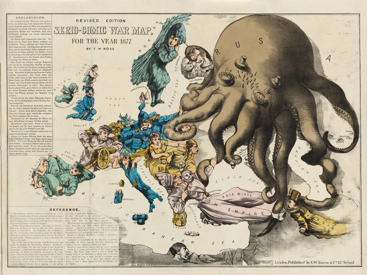
Serio-Comic War Map for the Year 1877 by Frederick W. Rose — A Russian octopus reaching across a costumed Europe
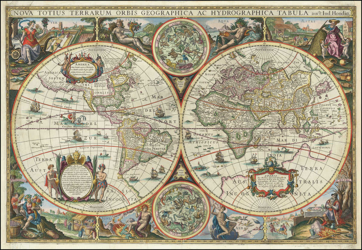
Nova Totius Terrarum Orbis Geographica ac Hydrographica Tabula by Melchior Tavernier II — A double-hemisphere world ringed by seasons and elements
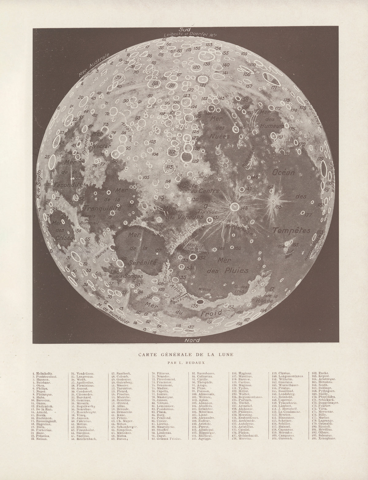
Carte Générale de la Lune by Lucien Rudaux — The whole Moon mapped crater by crater
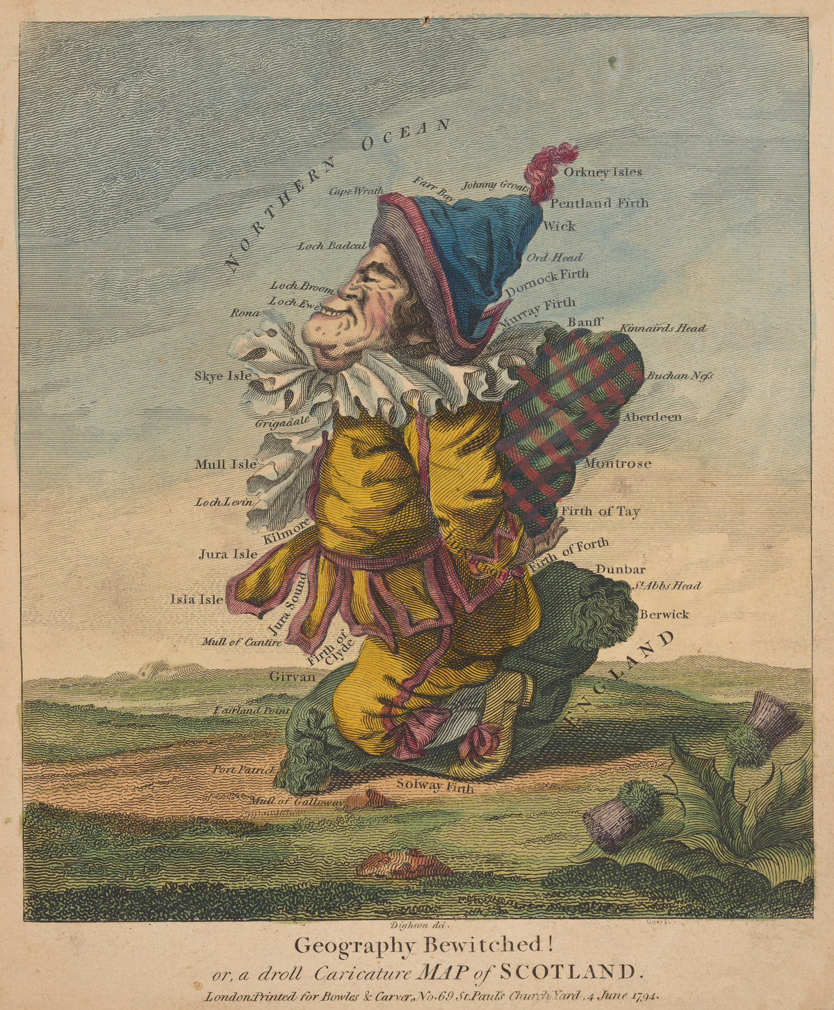
Geography Bewitched! Or, a Droll Caricature Map of Scotland by Robert Dighton — Scotland drawn as a grinning Highlander in a plaid
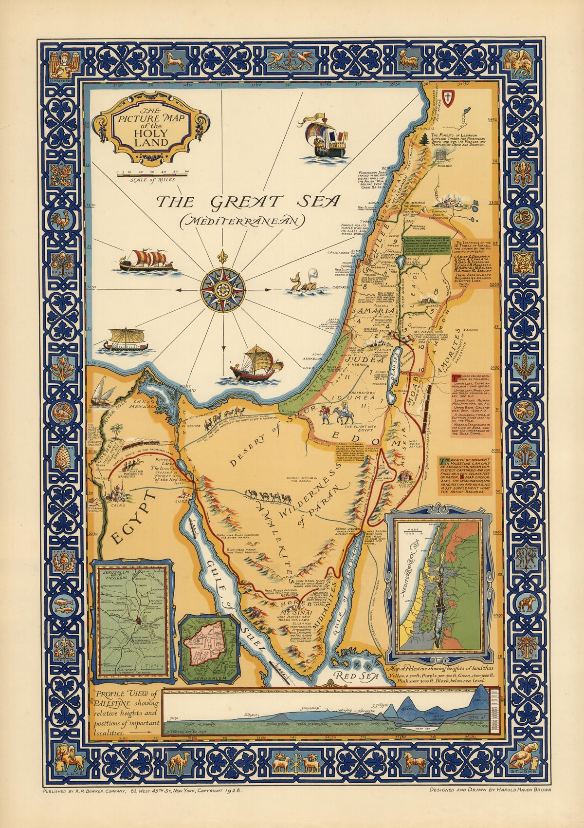
The Picture Map of the Holy Land by Harold Haven Brown — The Holy Land in ochre, set in a deep blue border
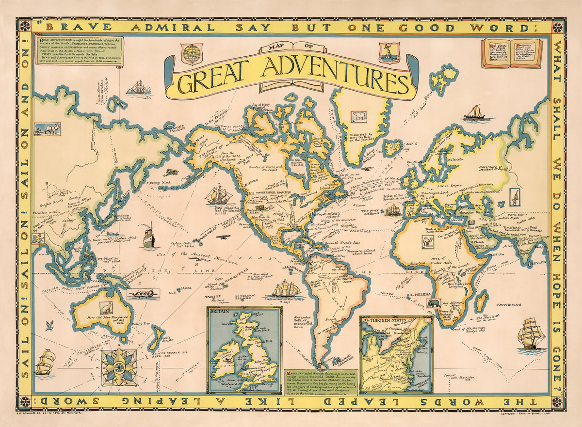
Map of Great Adventures by Paul Mayo Paine — The world's voyages and story-book places on one map
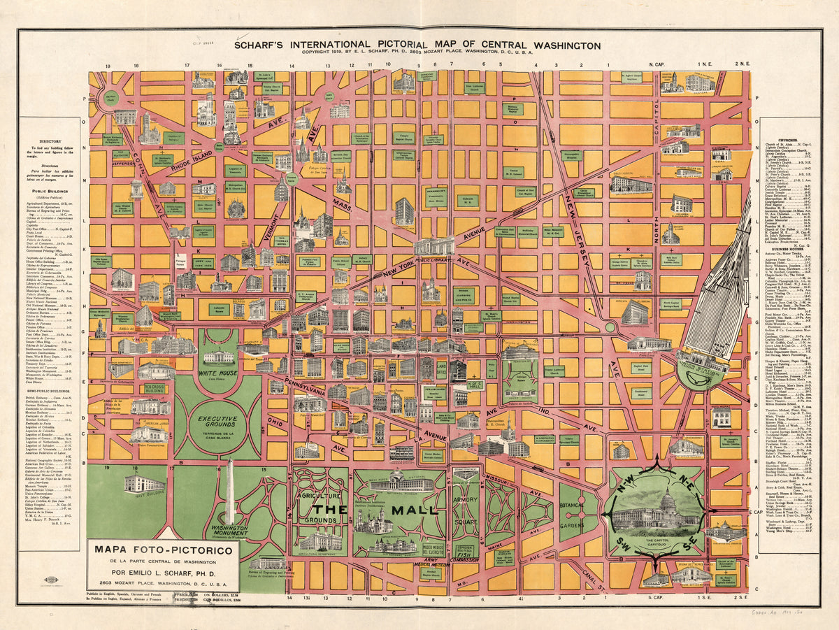
Scharf's International Pictorial Map of Central Washington by Emilio L. Scharf — Central Washington in orange blocks and pink avenues