Artist · 3 prints
George Washington Bacon Prints
About George Washington Bacon
George Washington Bacon was an American-born map publisher who made his name in London. He was born in 1830 in Lockport, New York, the son of a bookseller, and died in 1922. He moved to London in 1861, where he imported maps and sold an odd mix of goods, from medical booklets to sewing machines. That venture ended in bankruptcy in 1867, and he started again with a new firm, G. W. Bacon and Co.
Bacon's company became one of the best-known British map publishers of the late Victorian era. It bought printing plates made by the engraver Edward Weller and revised them for its own atlases, including The New Ordnance Atlas of the British Isles (1883). The firm was known for portable folding maps and for large, detailed atlases of the British Isles, London and the world. In 1893 it bought the map business of James Wyld, and around 1900 it was taken over by the Scottish mapmakers W. and A. K. Johnston, which kept the Bacon name in use for decades.
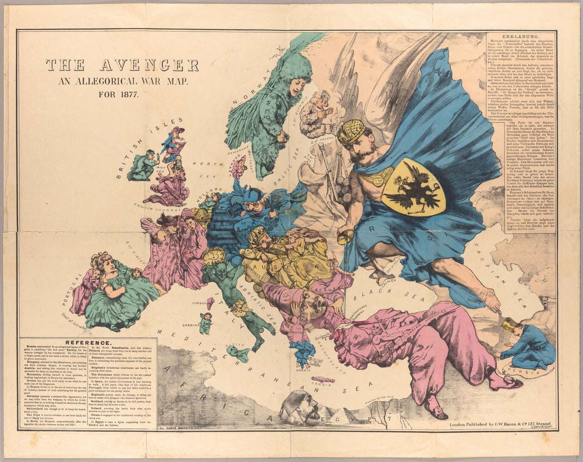
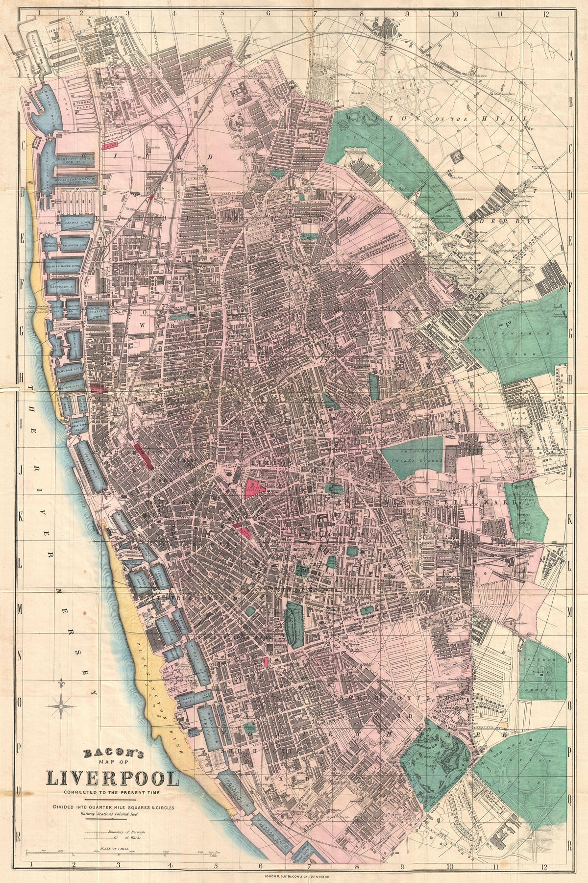
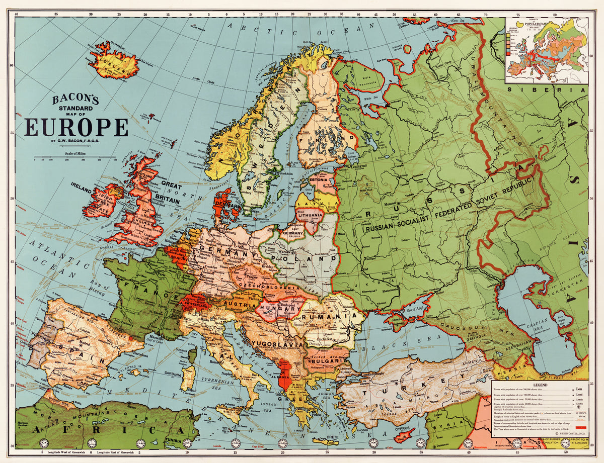
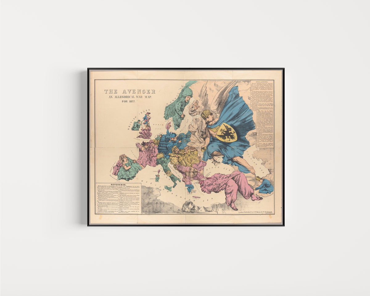
George Washington Bacon prints: reproductions of maps published by G. W. Bacon and Co., the London map firm George Washington Bacon ran in the late nineteenth century. The collection includes The Avenger: An Allegorical War Map for 1877, Bacon's Map of Liverpool (1890) and Bacon's Standard Map of Europe.
The selection covers three kinds of map the firm sold. The Avenger is a satirical map published during the Russo-Turkish War of 1877, using cartoon figures to comment on European politics. Bacon's Map of Liverpool is a detailed street plan of the port city and its docks, and the Standard Map of Europe is a general wall map of the continent's borders at the time.
The Liverpool plan suits a study or hallway, or the home of anyone with ties to the city. The two European maps work well in offices, libraries and reading rooms, and The Avenger suits anyone interested in history or political cartoons. All prints are museum-quality reproductions, available unframed or framed with acrylic glazing, with free shipping and import duties covered.