

Collection · 835 prints
Vintage Maps and Posters
A curated collection of vintage maps and posters — antique cartography, 19th-century travel illustrations, Art Deco travel posters, and period graphic design from the golden age of print. Every object a document of how the world was seen before photography made wonder mundane. All chosen by hand, with free shipping and import duties covered.
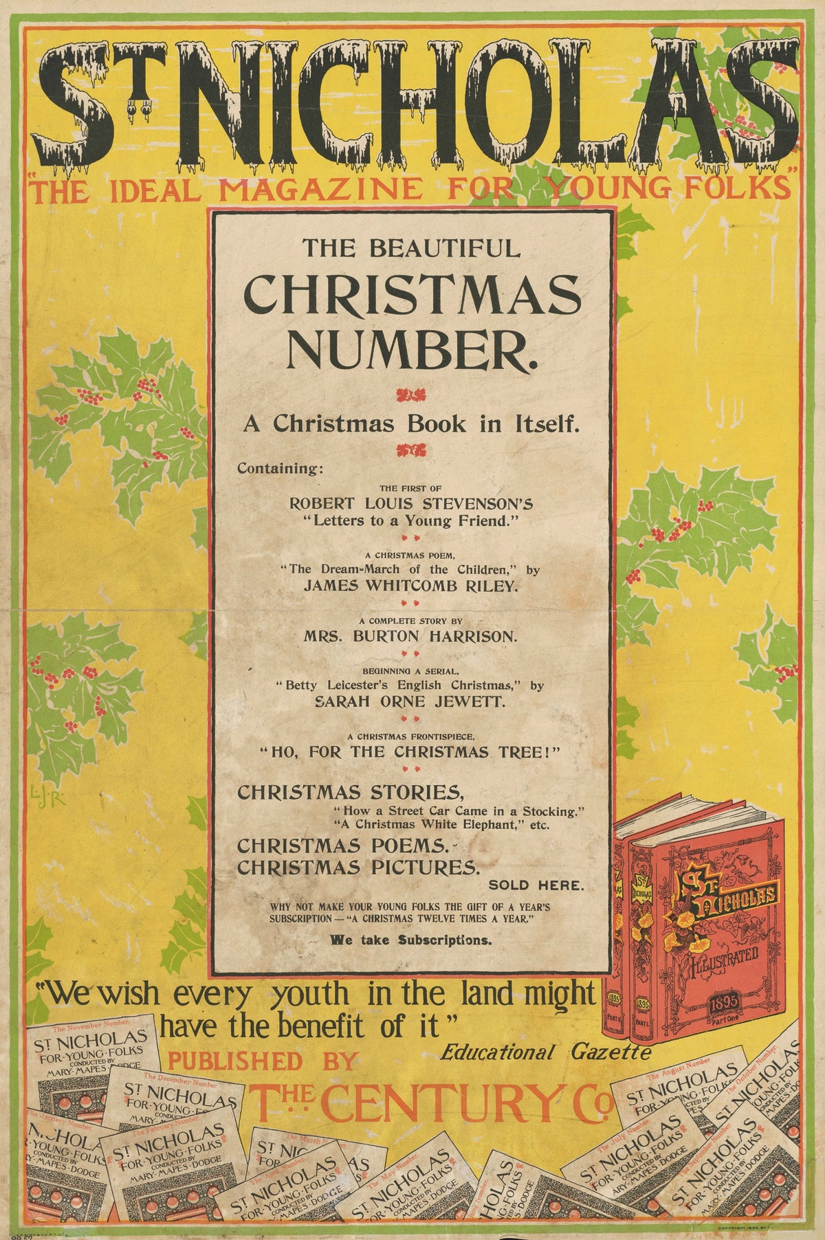
Louis Rhead — St. Nicholas, The Beautiful Christmas Number, 1895 | Vintage Christmas Print
Sale priceFrom $165.00
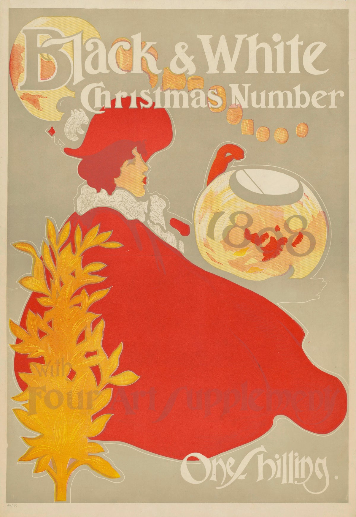
Black & White, Christmas Number 1898 | Vintage Christmas Print
Sale priceFrom $165.00
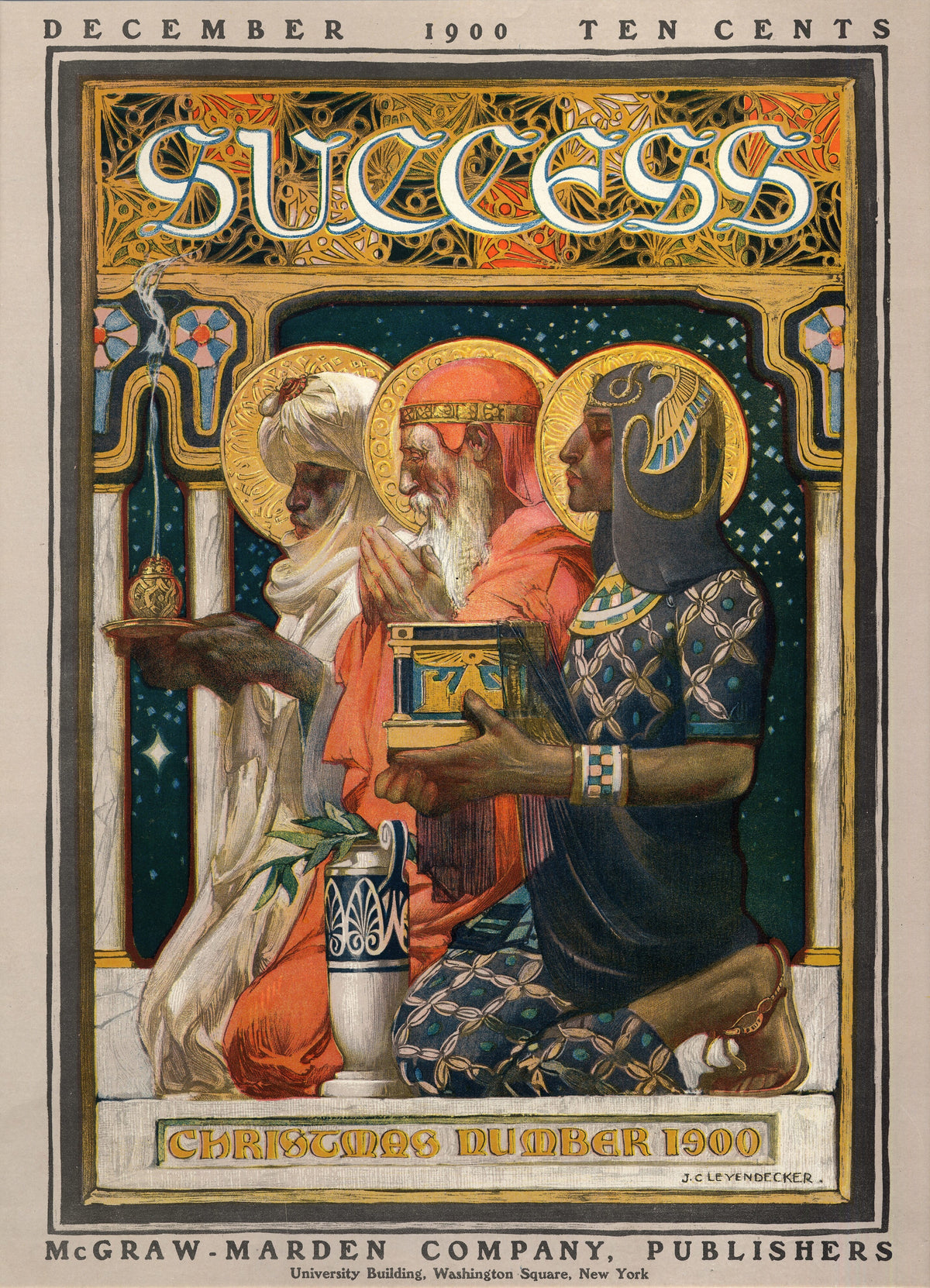
J.C. Leyendecker — Success, Christmas Number 1900 | Vintage Christmas Print
Sale priceFrom $165.00
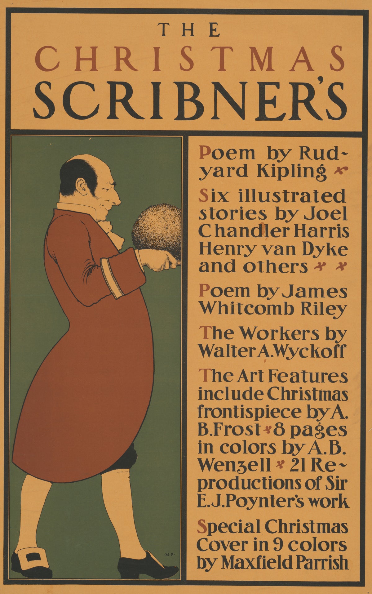
Maxfield Parrish — The Christmas Scribner’s | Vintage Christmas Print
Sale priceFrom $165.00
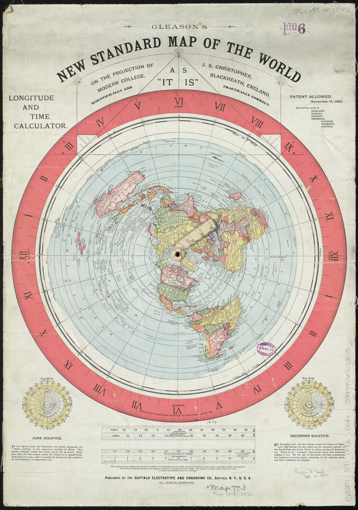
Alexander Gleason — Gleason's New Standard Map of the World | Antique World Map Print
Sale priceFrom $165.00
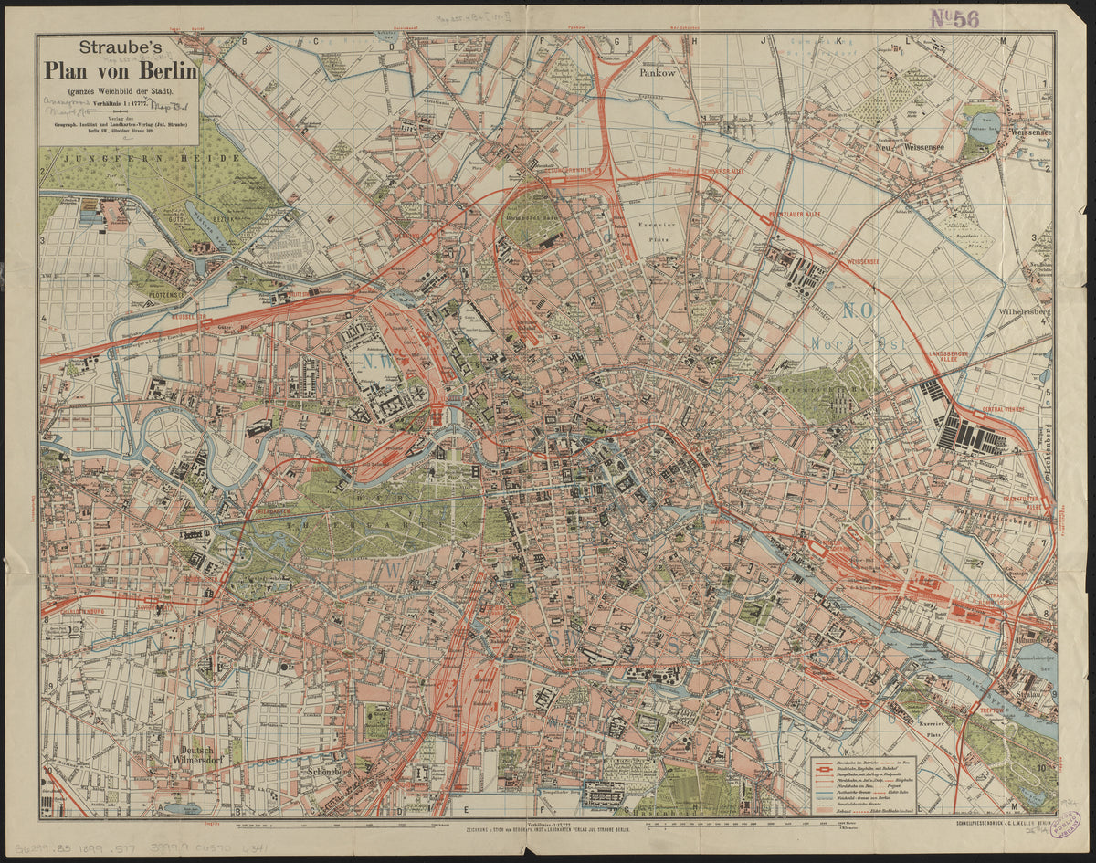
Julius Straube — Straube's Plan von Berlin | Vintage City Plan Print
Sale priceFrom $165.00
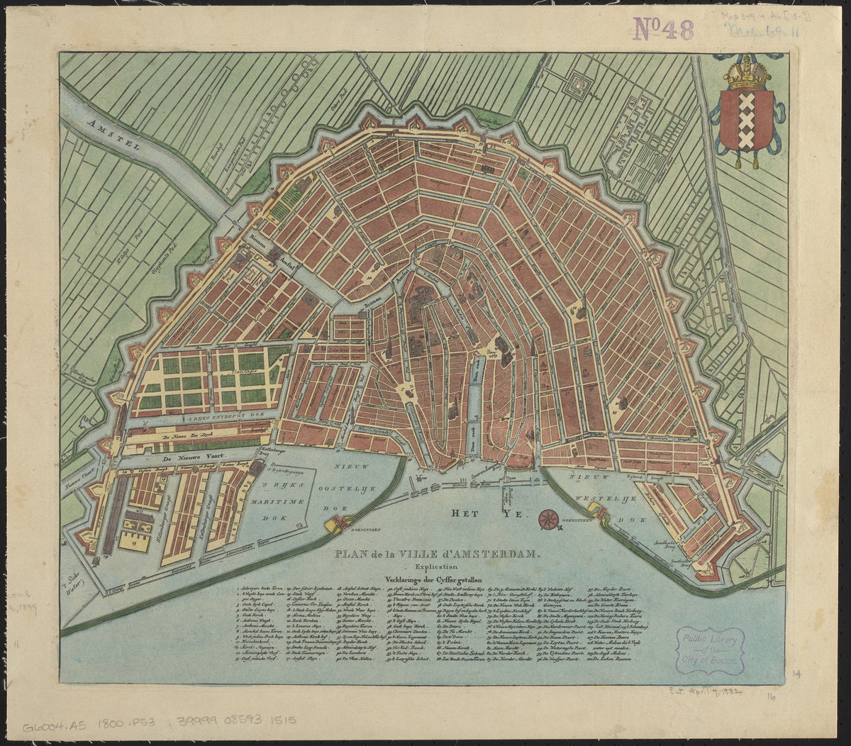
Plan de la Ville d'Amsterdam | Antique City Plan Print
Sale priceFrom $165.00
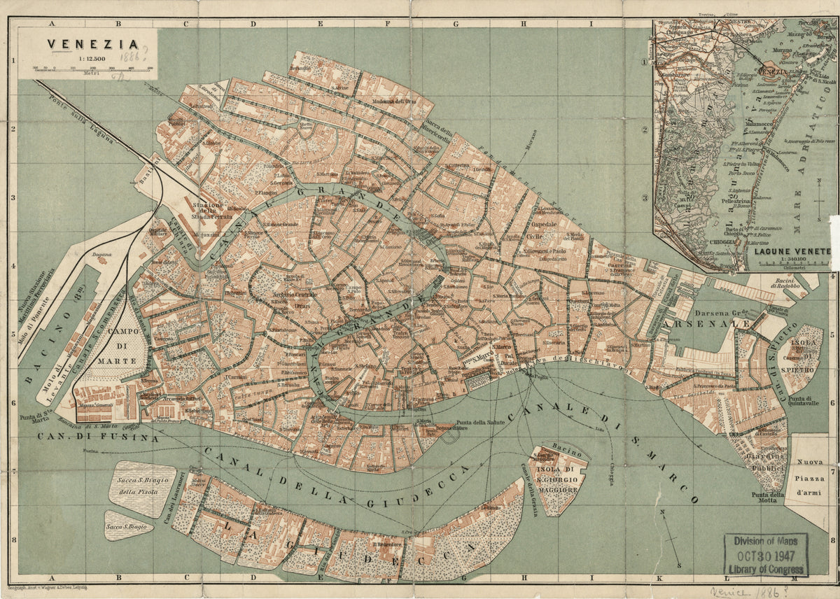
Wagner & Debes — Venezia | Antique City Plan Print
Sale priceFrom $165.00
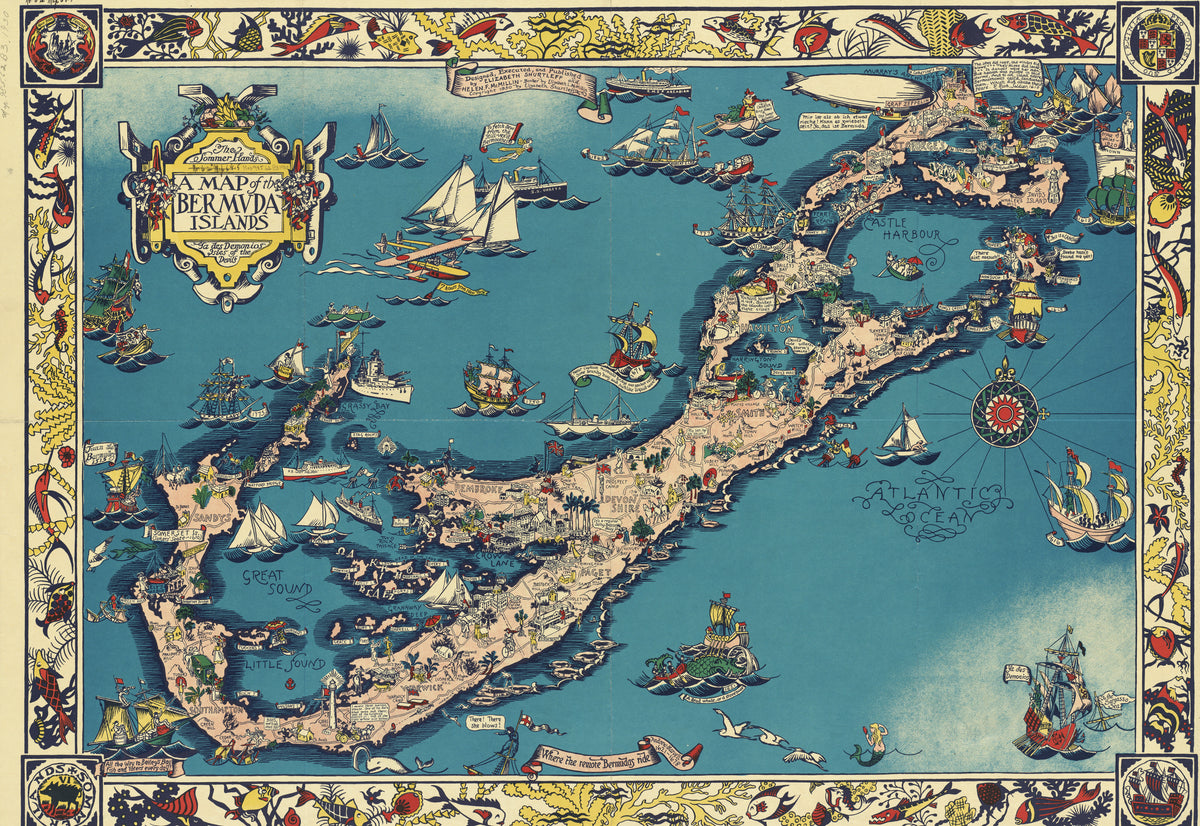
Elizabeth Shurtleff — A Map of the Bermuda Islands | Vintage Pictorial Map Print
Sale priceFrom $165.00
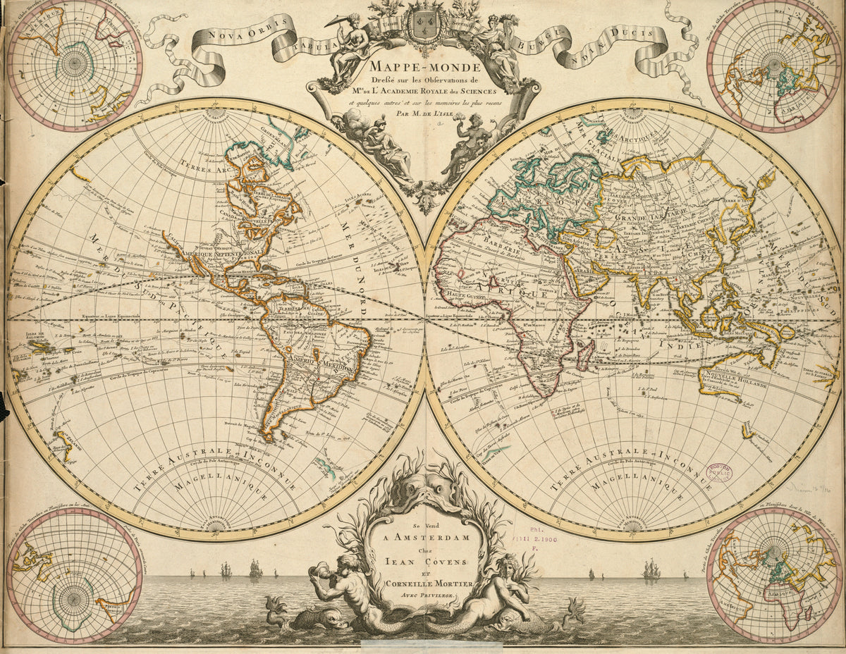
Guillaume Delisle — Mappe-Monde | Antique World Map Print
Sale priceFrom $165.00
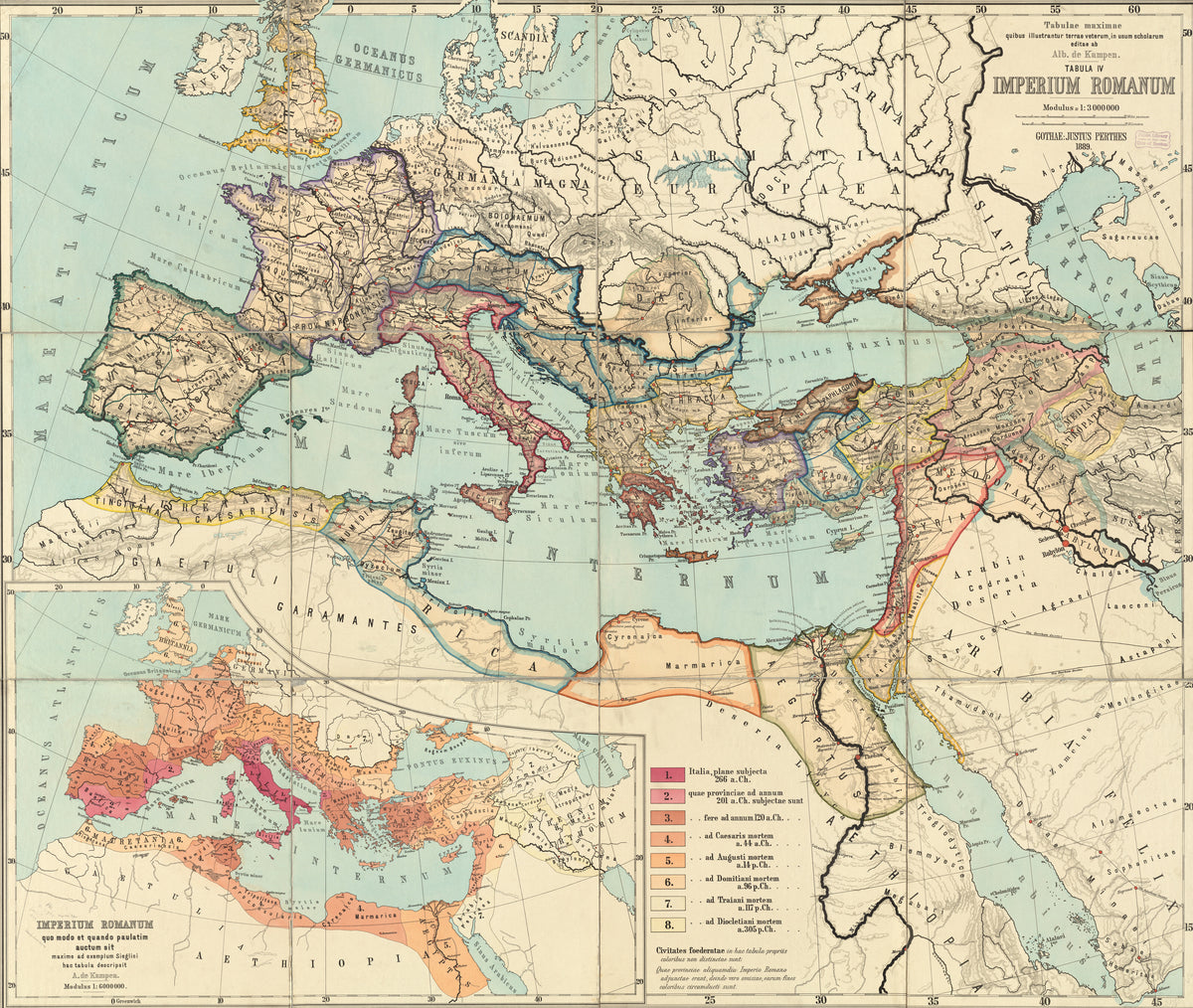
Albert van Kampen — Imperium Romanum (Tabulae Maximae) | Antique Historical Map Print
Sale priceFrom $165.00
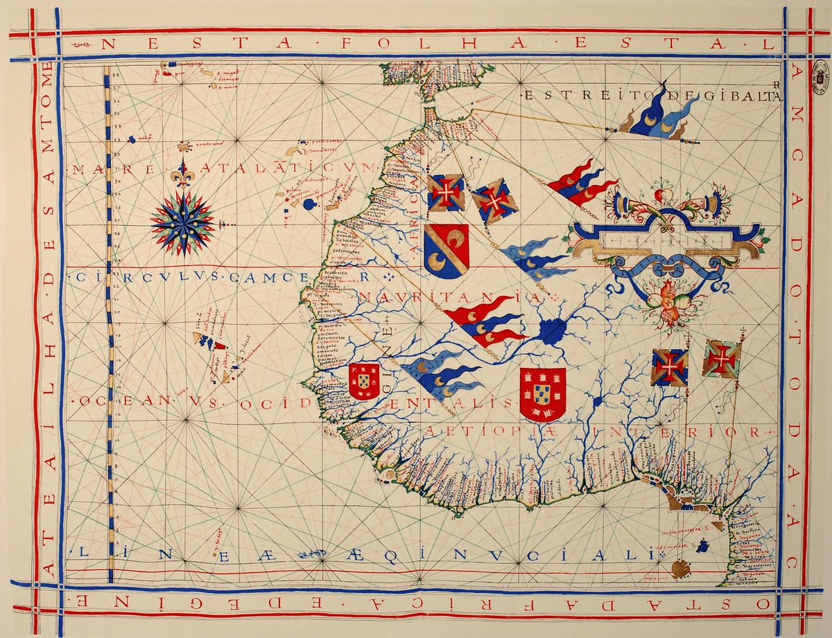
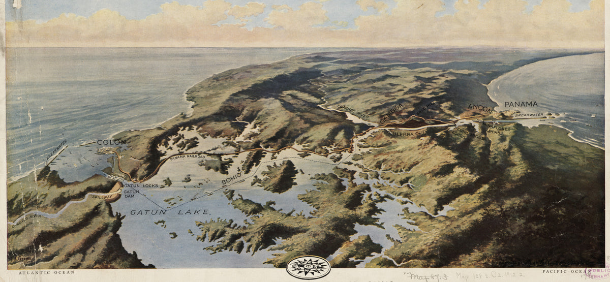
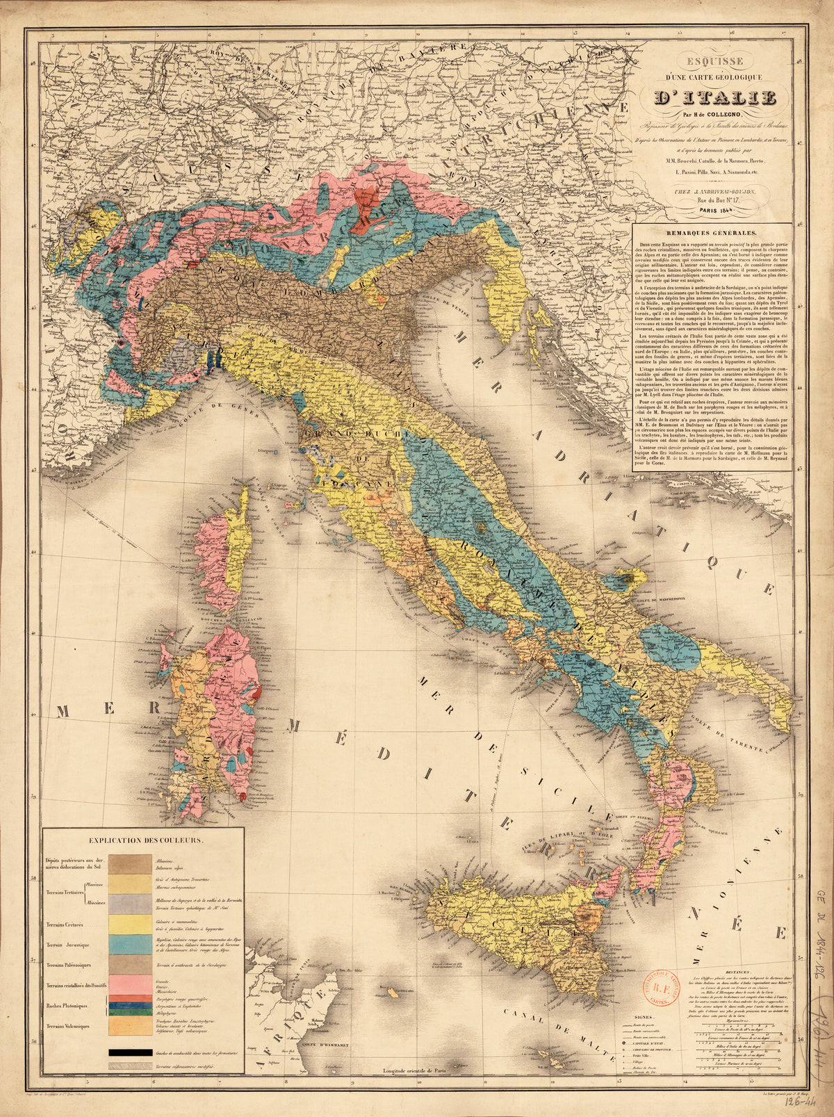
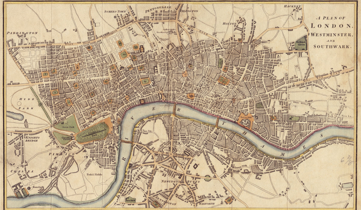
Richard Phillips — A Plan of London, Westminster and Southwark | Antique City Plan Print
Sale priceFrom $165.00
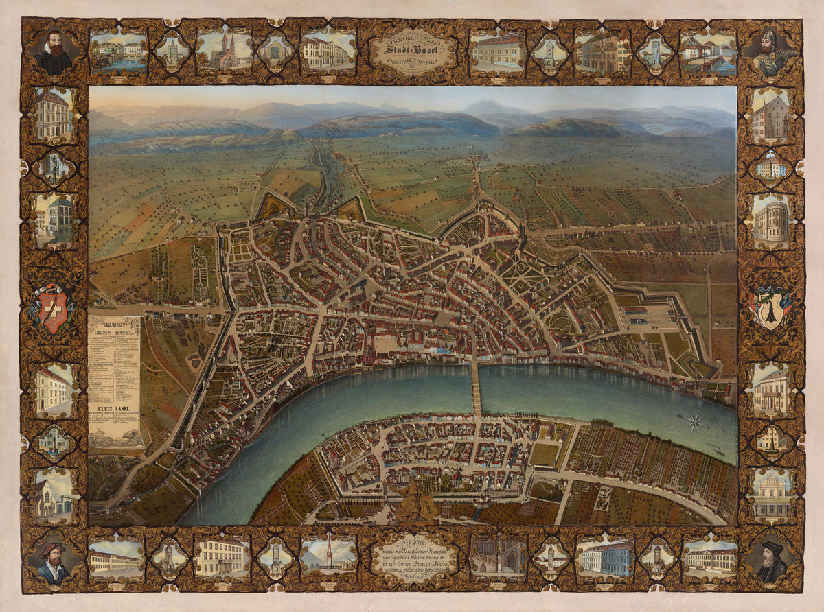
Johann Friedrich Maehly — Malerischer Plan der Stadt Basel | Antique City Plan Print
Sale priceFrom $165.00
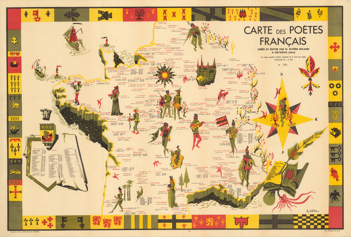
R. Gattaz — Carte des Poètes Français | Vintage Pictorial Map Print
Sale priceFrom $165.00
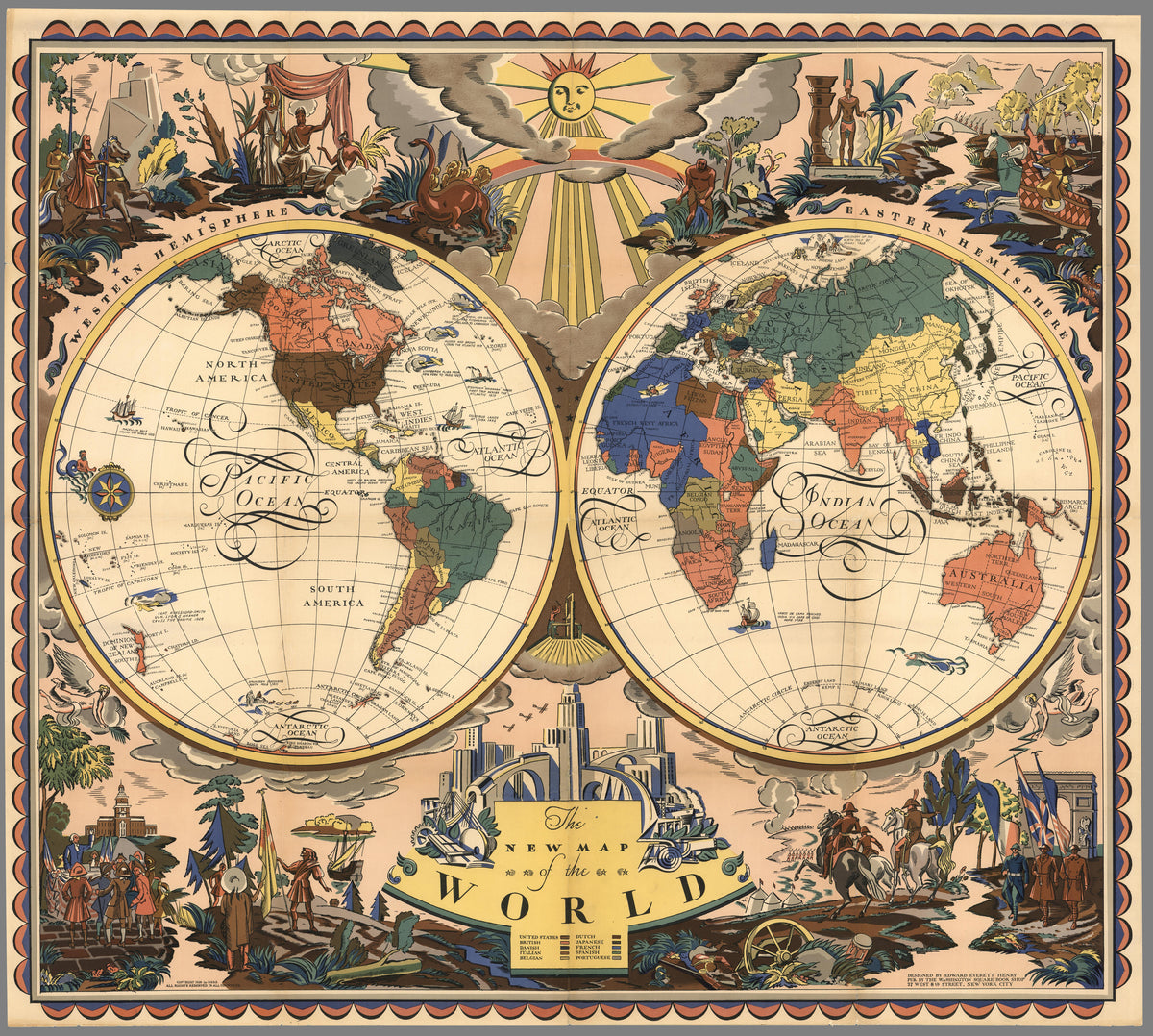
Everett Henry — The New Map of the World | Vintage Pictorial World Map Print
Sale priceFrom $165.00
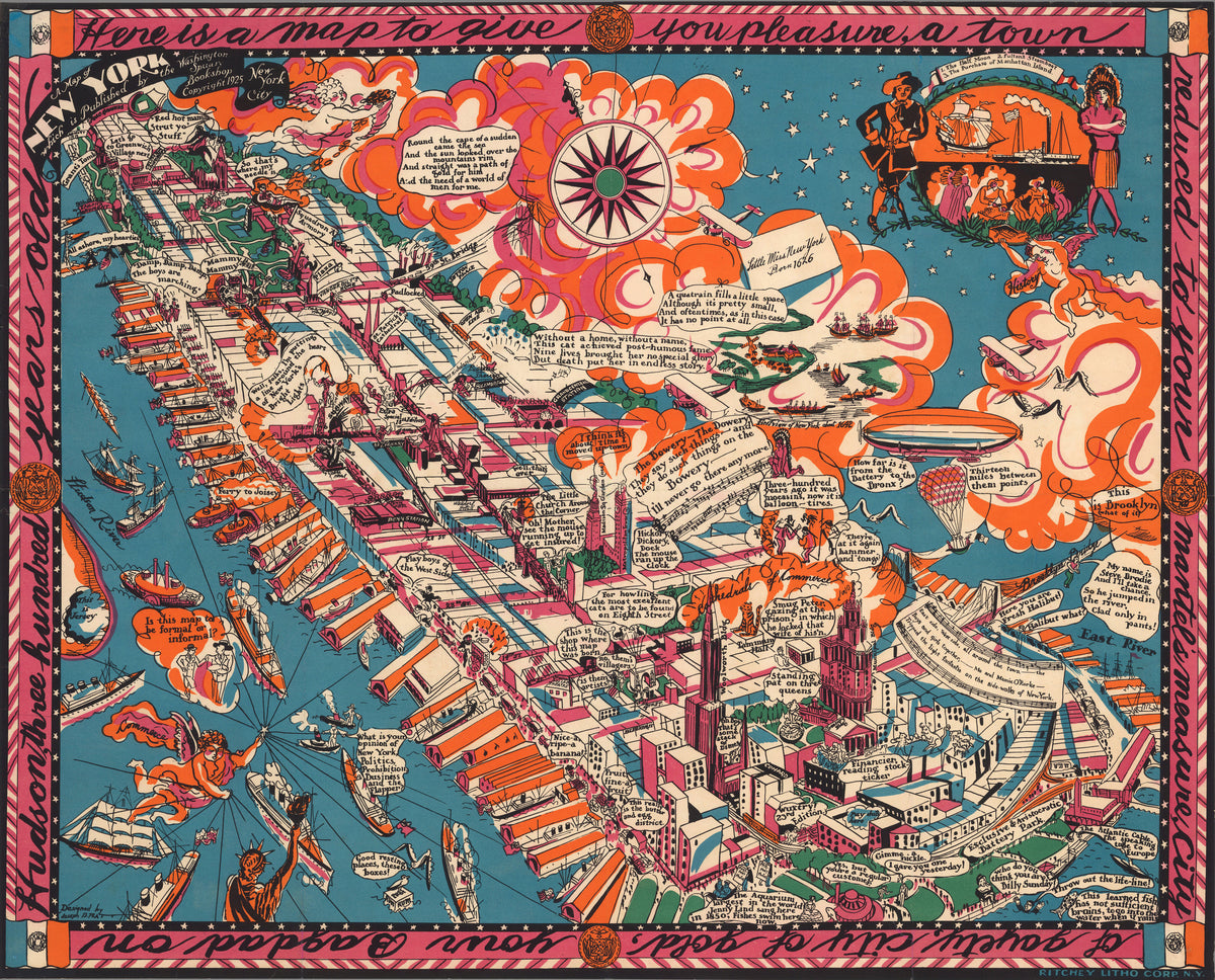
Joseph B. Platt — A Map of New York | Vintage Pictorial Map Print
Sale priceFrom $165.00
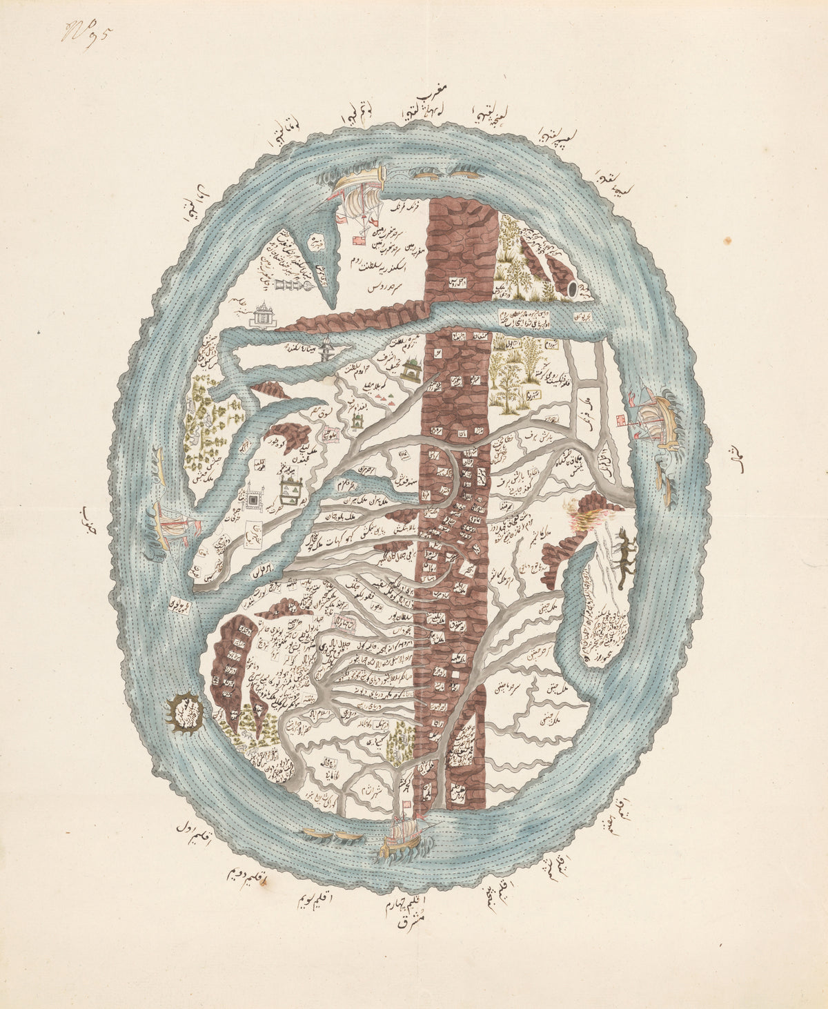
Map of the Islamic World | Manuscript World Map Print
Sale priceFrom $165.00
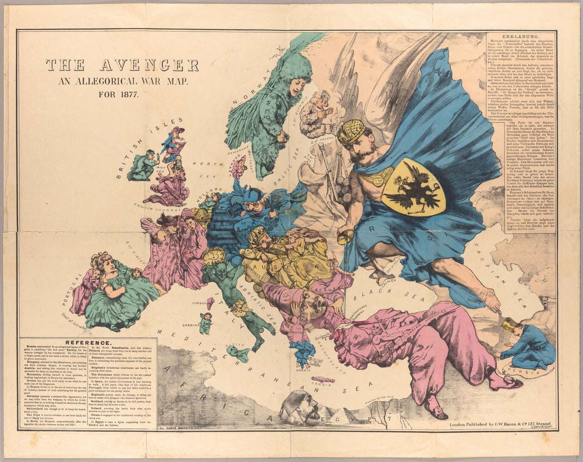
George Washington Bacon — The Avenger: An Allegorical War Map for 1877 | Satirical Map Print
Sale priceFrom $165.00
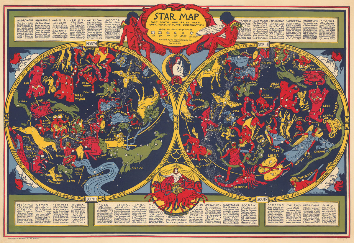
Elizabeth Shurtleff — Star Map | Vintage Star Map Print
Sale priceFrom $165.00
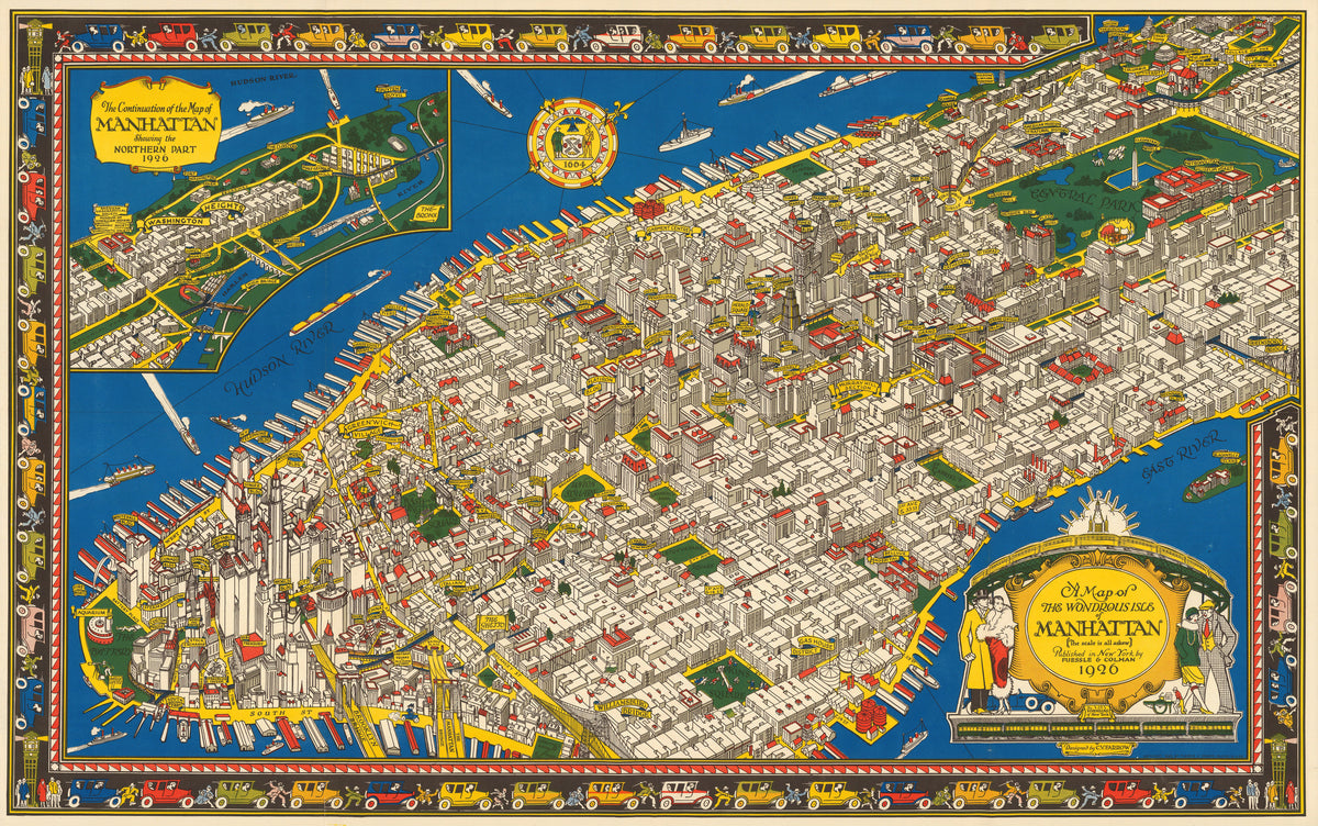
C. V. Farrow — A Map of the Wondrous Isle of Manhattan | Vintage Pictorial Map Print
Sale priceFrom $165.00
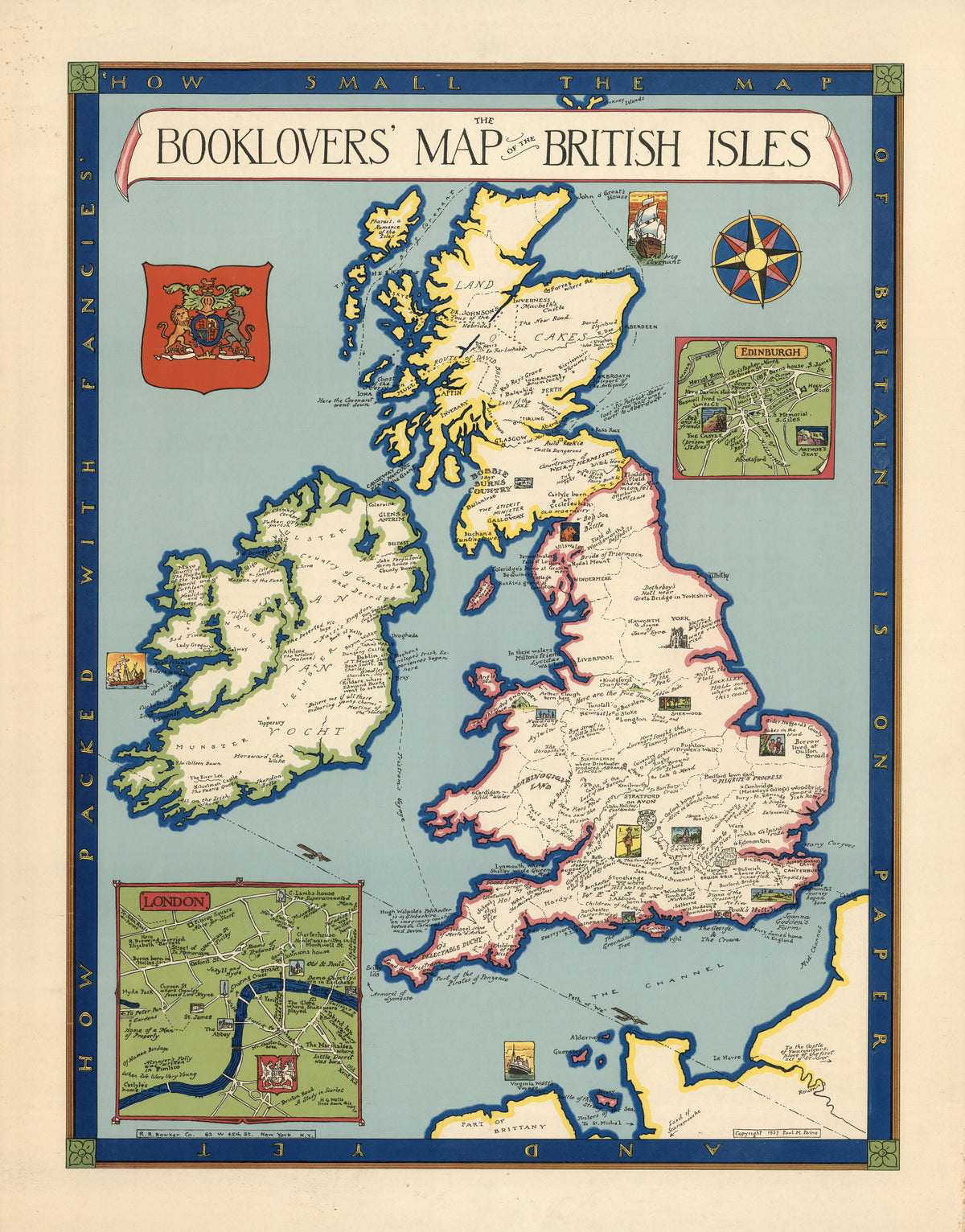
Paul Mayo Paine — The Booklovers' Map of the British Isles | Vintage Pictorial Map Print
Sale priceFrom $165.00
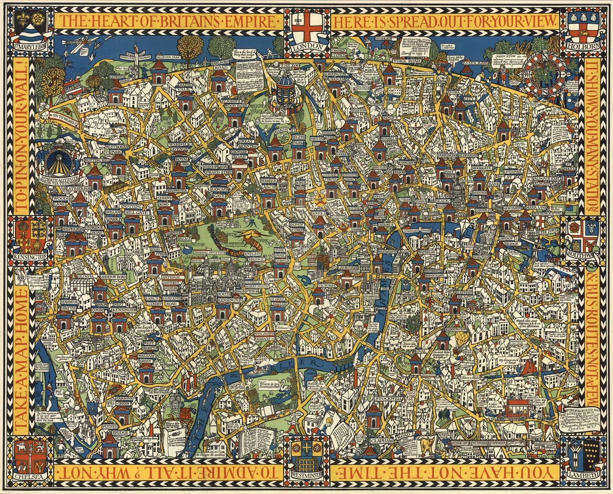
MacDonald Gill — The Famous Wonderground Map of London Town | Vintage Pictorial Map Print
Sale priceFrom $165.00
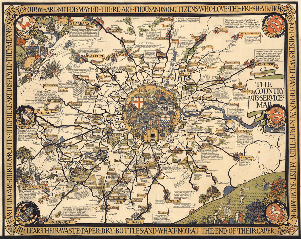
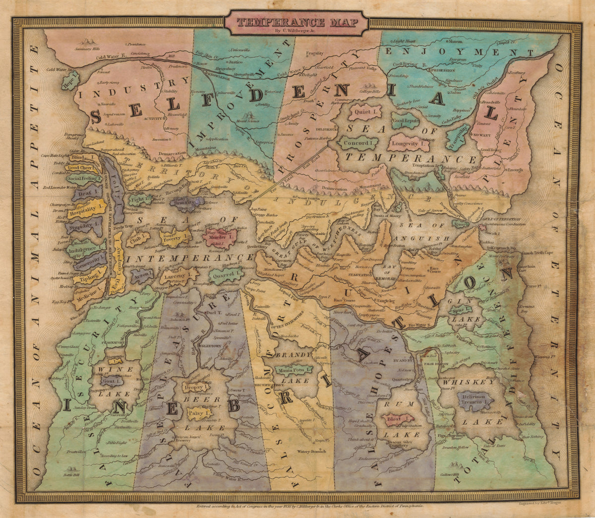
John Christian Wiltberger Jr. — Temperance Map | Hand-Coloured Engraved Map Print
Sale priceFrom $165.00
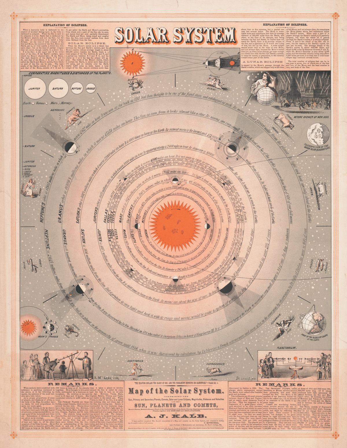
A. McLean — Map of the Solar System | Antique Solar System Chart Print
Sale priceFrom $165.00
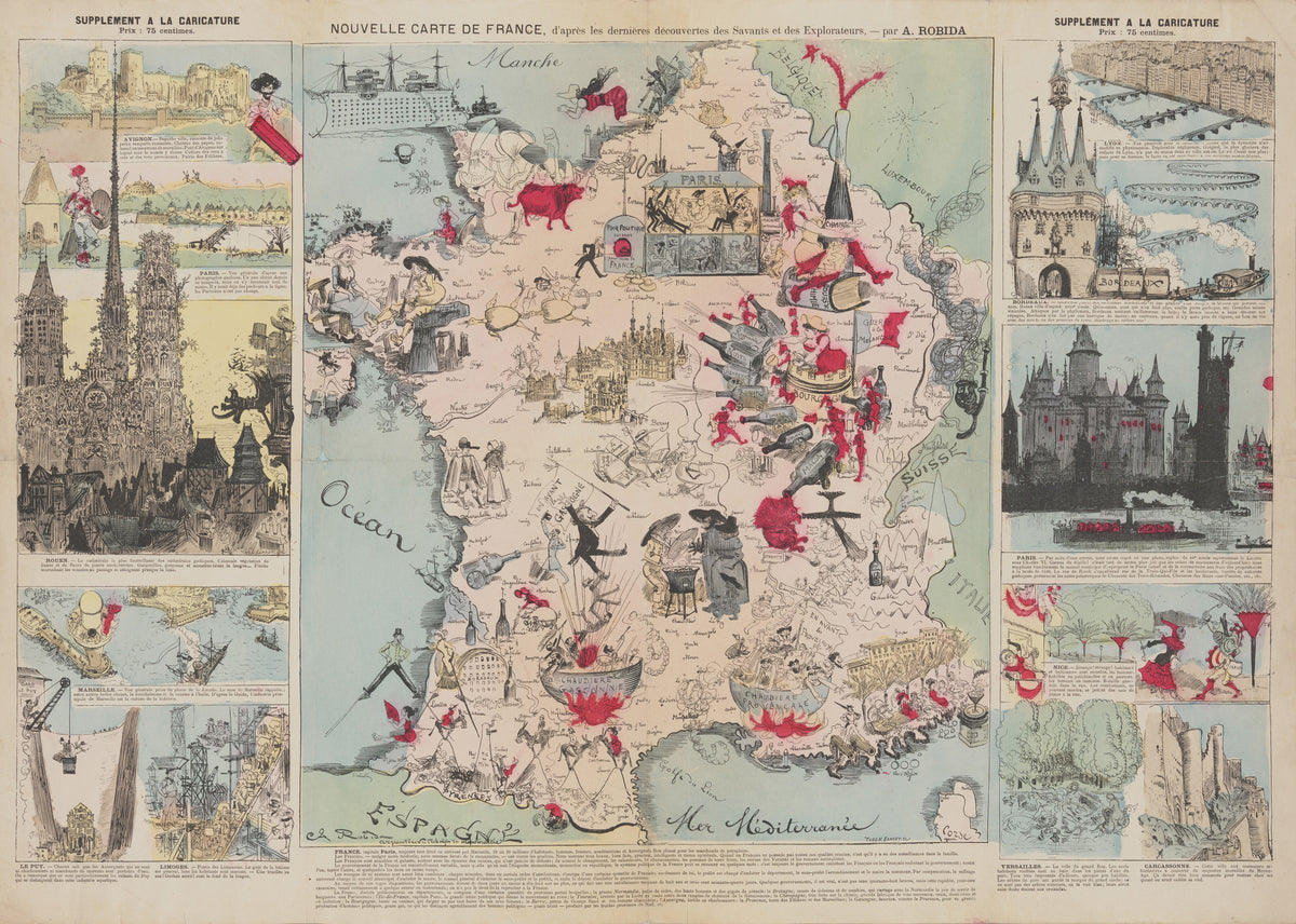
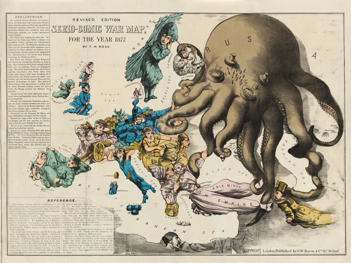
Frederick W. Rose — Serio-Comic War Map for the Year 1877 | Satirical Map Print
Sale priceFrom $165.00
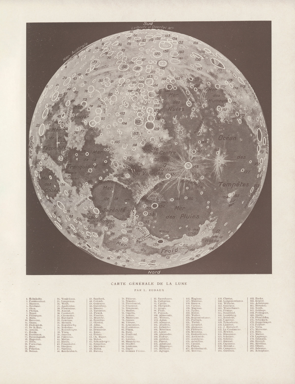
Lucien Rudaux — Carte Générale de la Lune | Vintage Lunar Map Print
Sale priceFrom $165.00
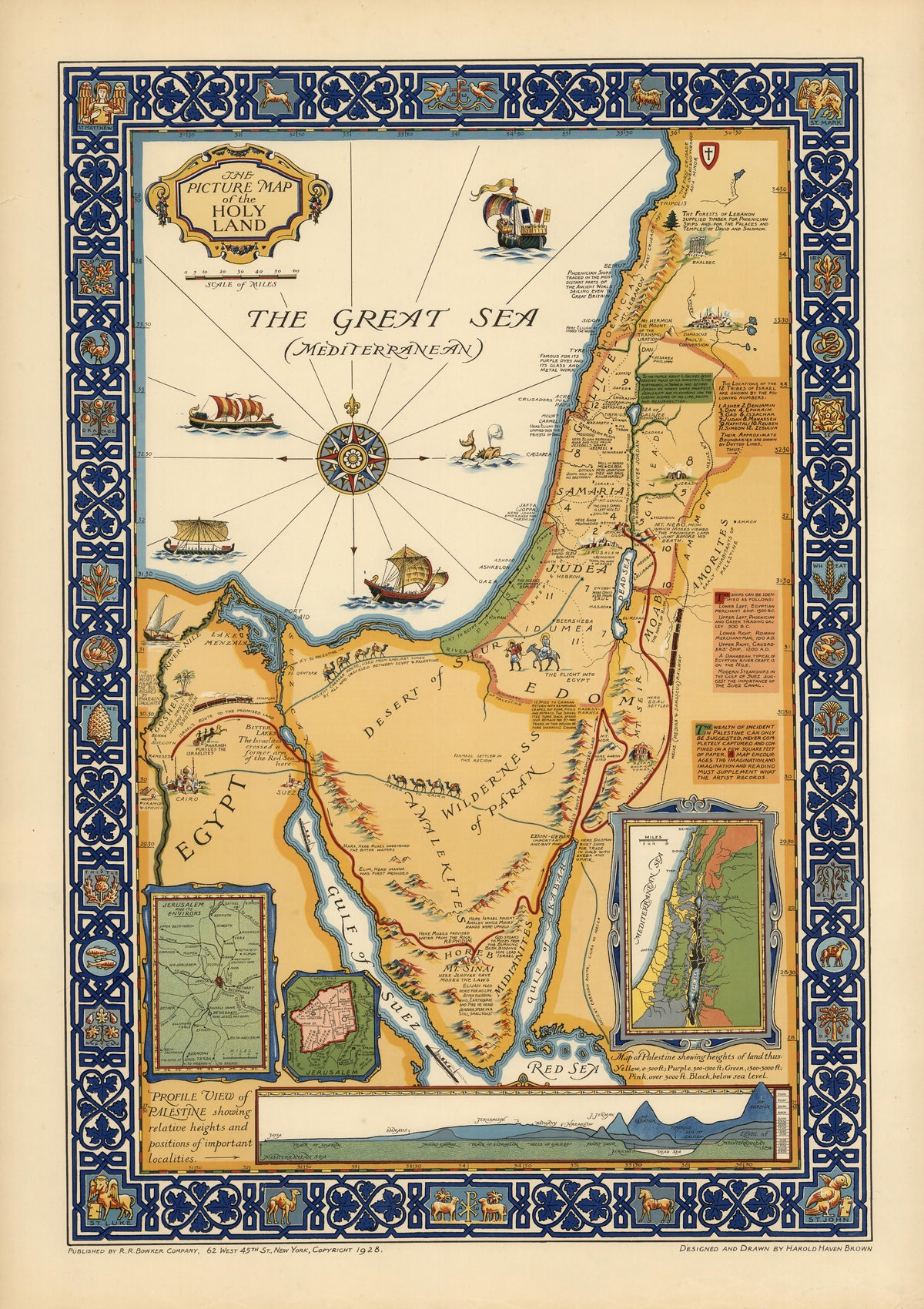
Harold Haven Brown — The Picture Map of the Holy Land | Vintage Pictorial Map Print
Sale priceFrom $165.00
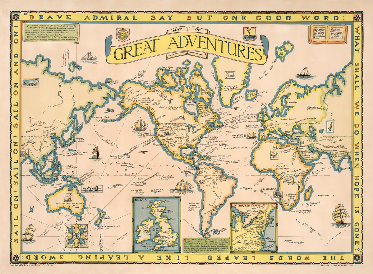
Paul Mayo Paine — Map of Great Adventures | Vintage Pictorial Map Print
Sale priceFrom $165.00
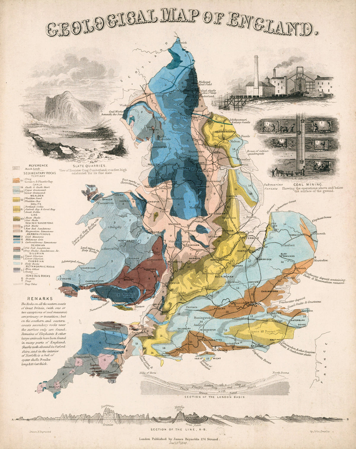
John Emslie — Geological Map of England | Hand-Coloured Geological Map Print
Sale priceFrom $165.00
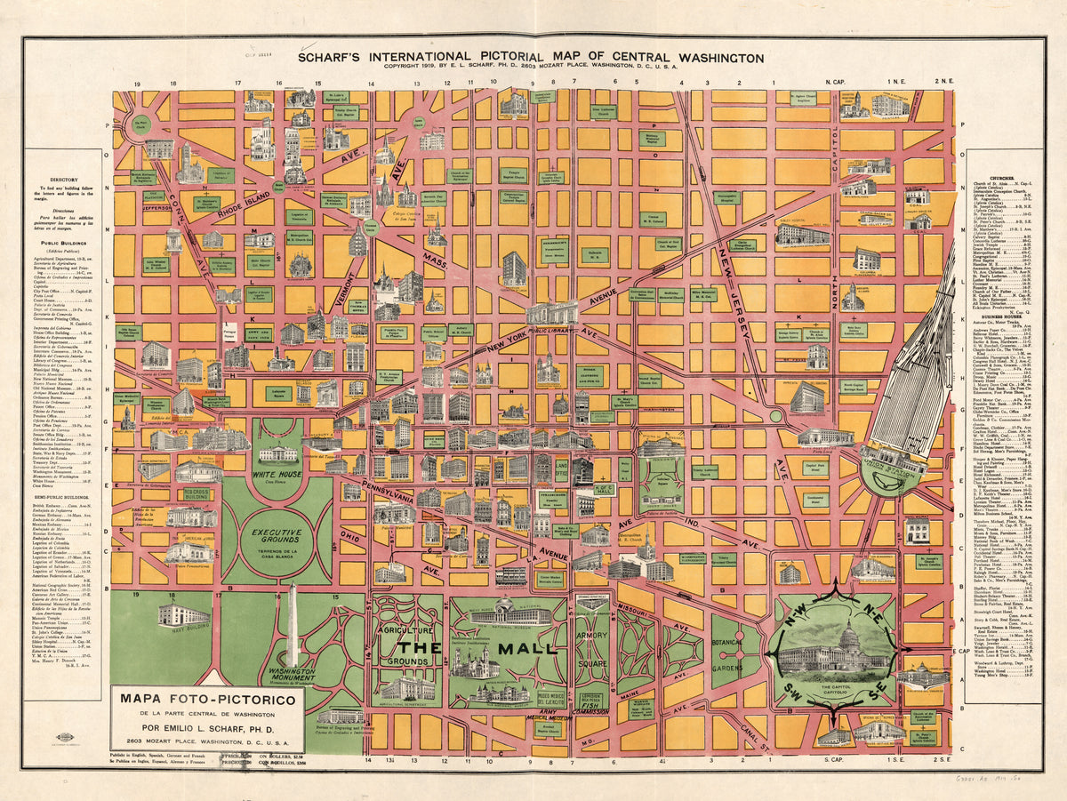
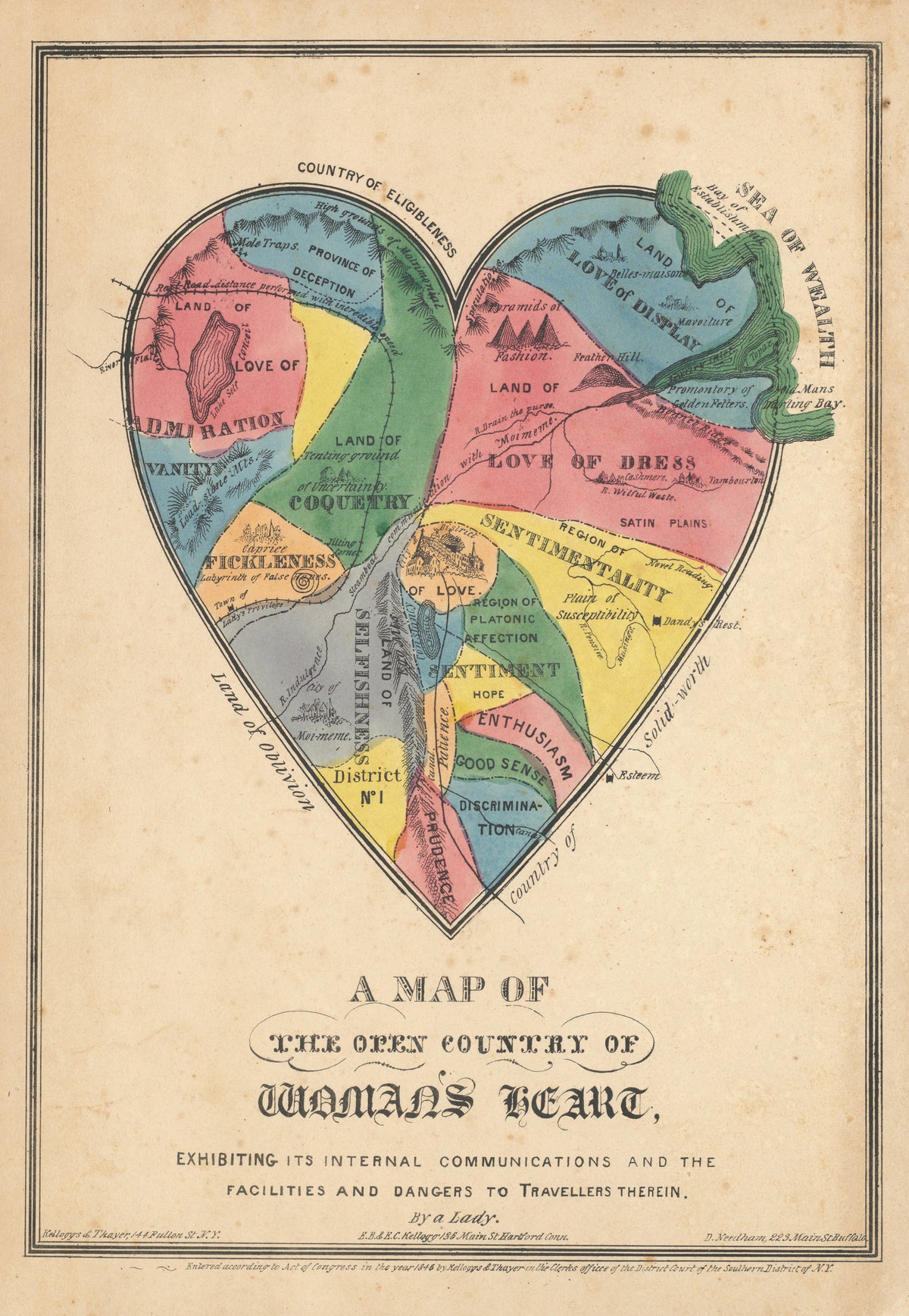
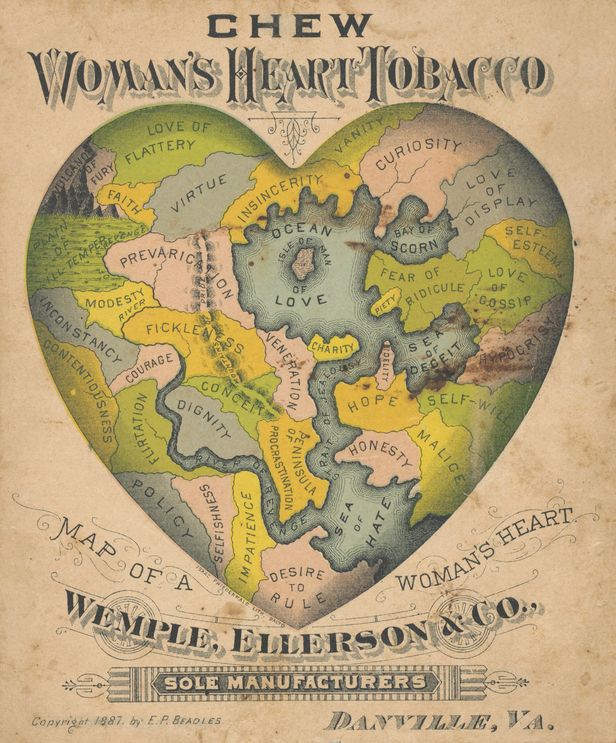
E.P. Beadles — Map of a Woman's Heart | Antique Allegorical Map Print
Sale priceFrom $165.00
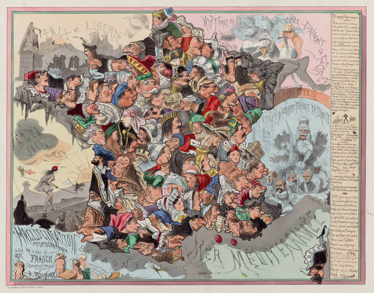
Achille Belloguet — Malédiction topographique sur la carte de France | Satirical Map Print
Sale priceFrom $165.00
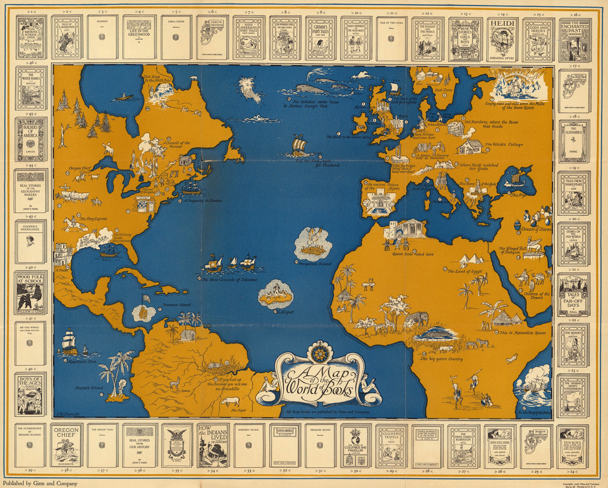
Ginn and Company — A Map of the World of Books | Vintage Pictorial Map Print
Sale priceFrom $165.00