Skip to content
4.9/5 From 210 Reviews
500+ Cities Served Internationally
Free Shipping Worldwide
Testimonials

Cart

Your cart is empty

Collection · 1241 prints

Vintage Maps and Posters

Vintage maps and posters: reproductions of advertising, travel, film and propaganda posters, and antique celestial maps. Most of the posters date from about 1905 to 1930, led by the German designer Ludwig Hohlwein and the Swiss designer Emil Cardinaux, with French travel posters by Roger Broders. Their subjects are Swiss railways, Alpine resorts and hotels, Munich shops, cafés, beer, sport and exhibitions. Film posters include Metropolis (1927) by Heinz Schulz-Neudamm and Saul Bass's designs for Vertigo (1958) and Anatomy of a Murder (1959). The collection also has Soviet propaganda posters by Dmitry Moor and 17th-century celestial maps by Andreas Cellarius.

The travel and advertising posters suit kitchens, hallways and home offices; the film posters work in media rooms and dens. All prints are museum-quality reproductions, available unframed or framed with acrylic glazing, with free shipping and import duties covered.
Of Foreign Lands and Peoples — Robert Schumann
Browse all 1241 prints
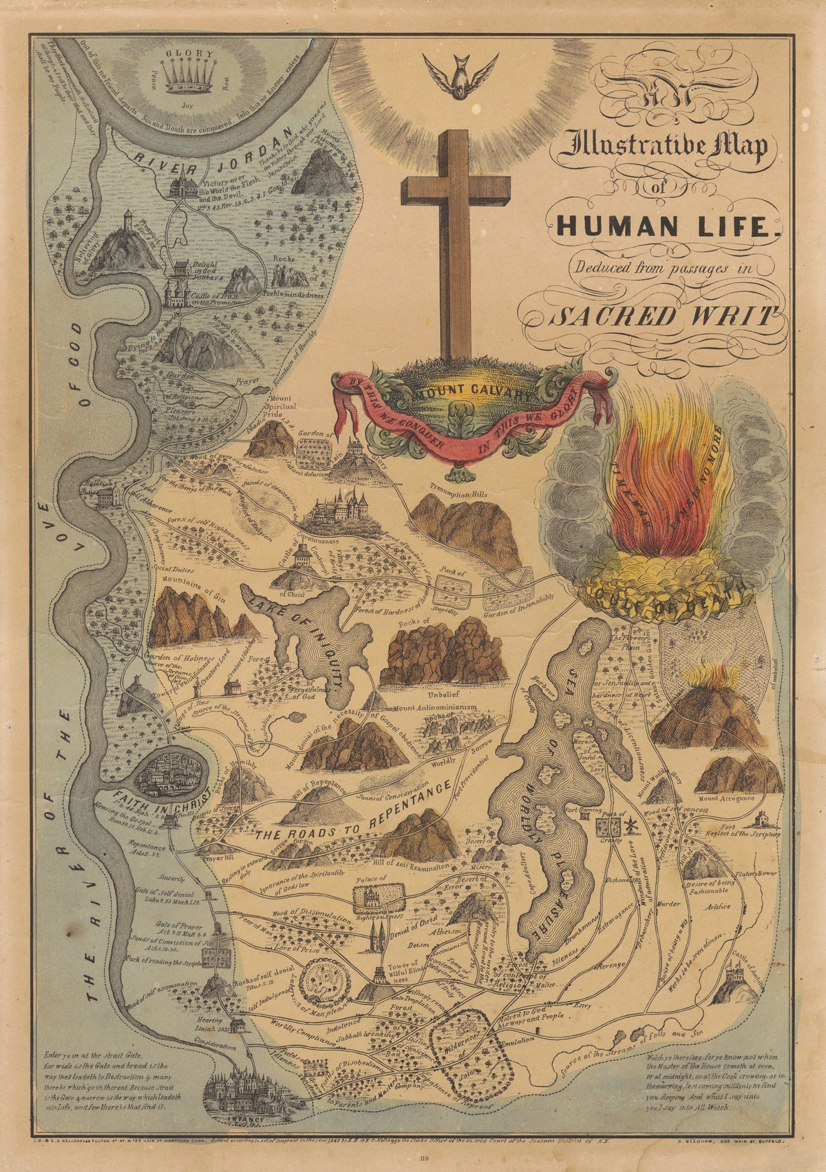
An Illustrative Map of Human Life Deduced from Passages in Sacred Writ by E.B. & E.C. Kellogg — A Christian life charted as roads, mountains and a sea
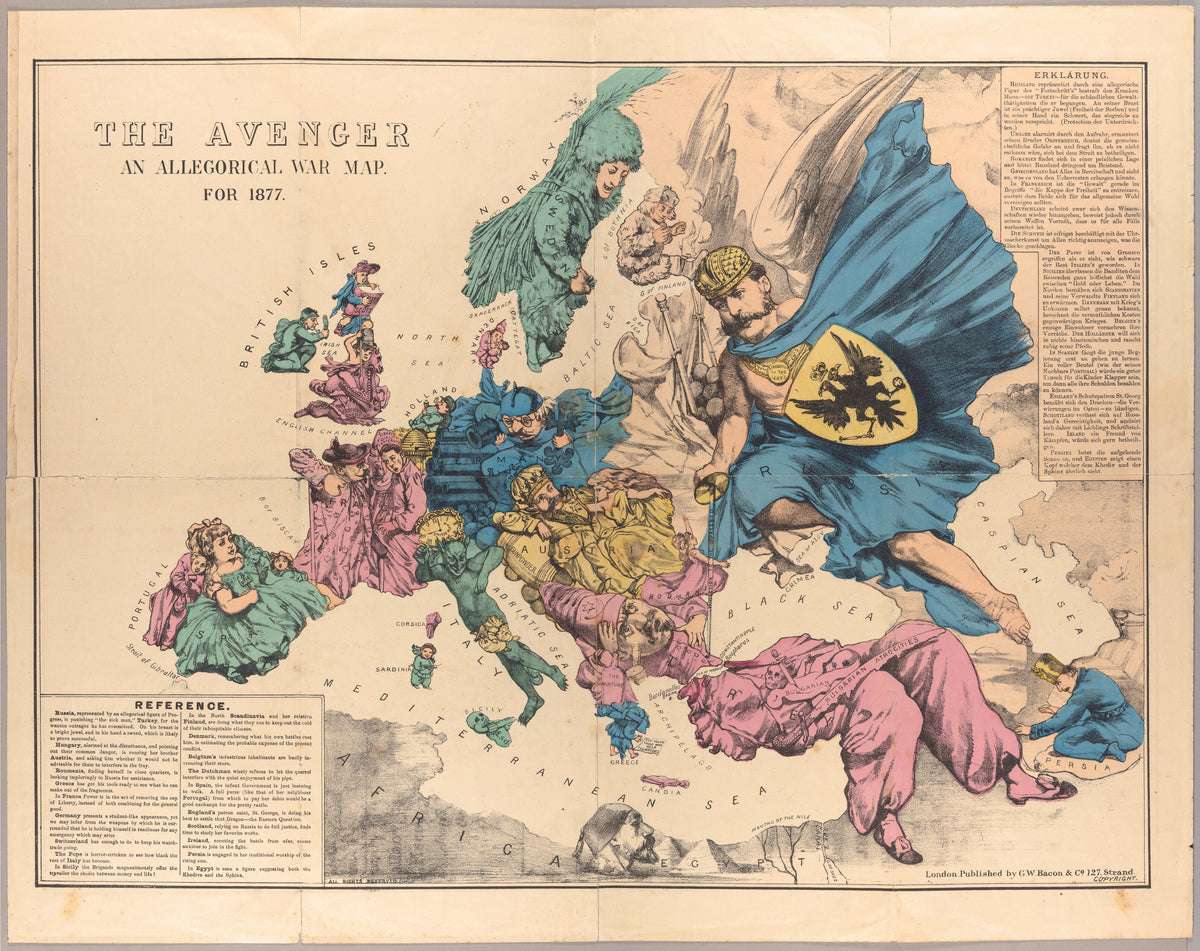
The Avenger: An Allegorical War Map for 1877 by George Washington Bacon — Europe as a cast of figures beneath a striding Russia
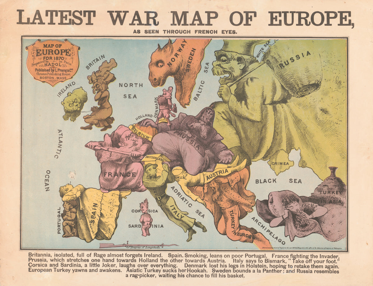
Latest War Map of Europe, as Seen Through French Eyes by Louis Prang & Co. — Europe at war in 1870 as a cast of caricatures
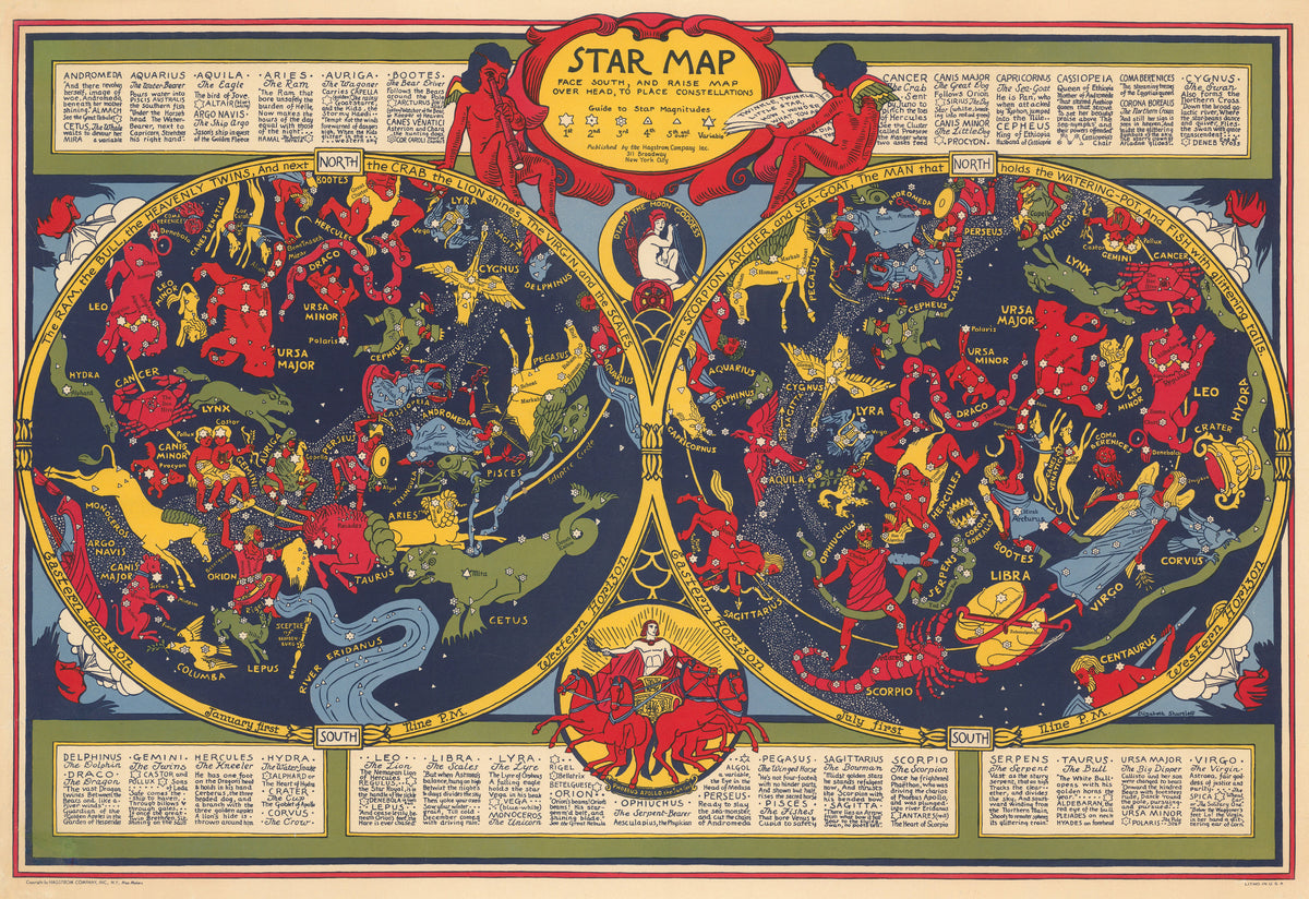
Star Map by Elizabeth Shurtleff — Two star maps of red, yellow and green constellation figures
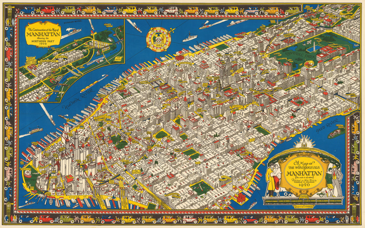
A Map of the Wondrous Isle of Manhattan by C. V. Farrow — Manhattan in bird's-eye view, edged by a border of cars
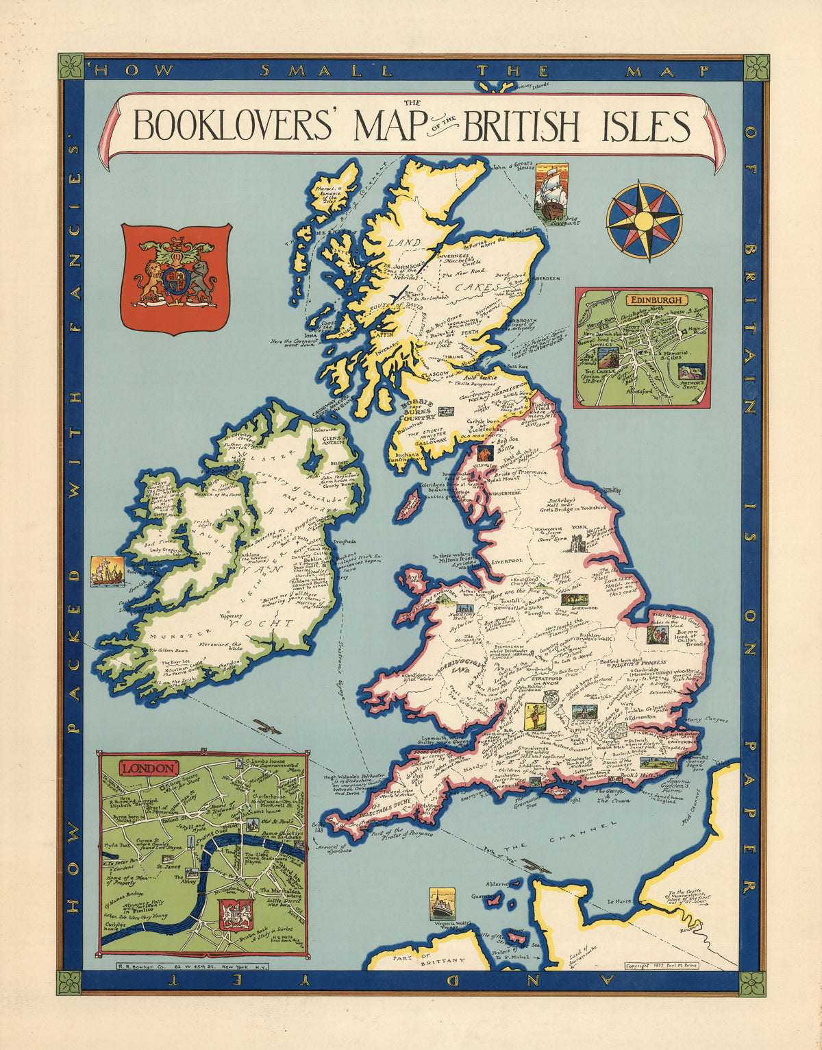
The Booklovers' Map of the British Isles by Paul Mayo Paine — The British Isles dotted with literary landmarks
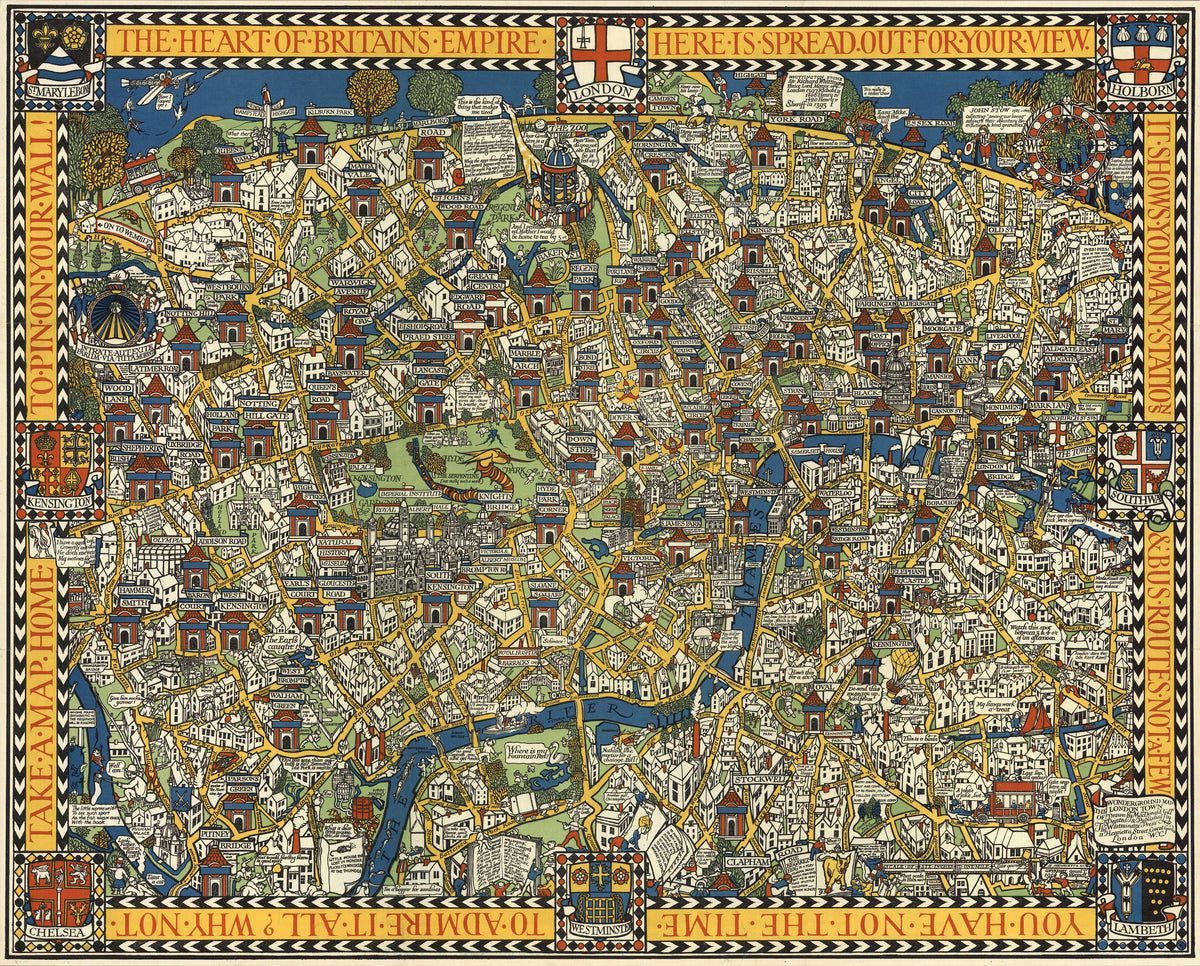
The Famous Wonderground Map of London Town by MacDonald Gill — Central London as a crowded, comic jigsaw of streets
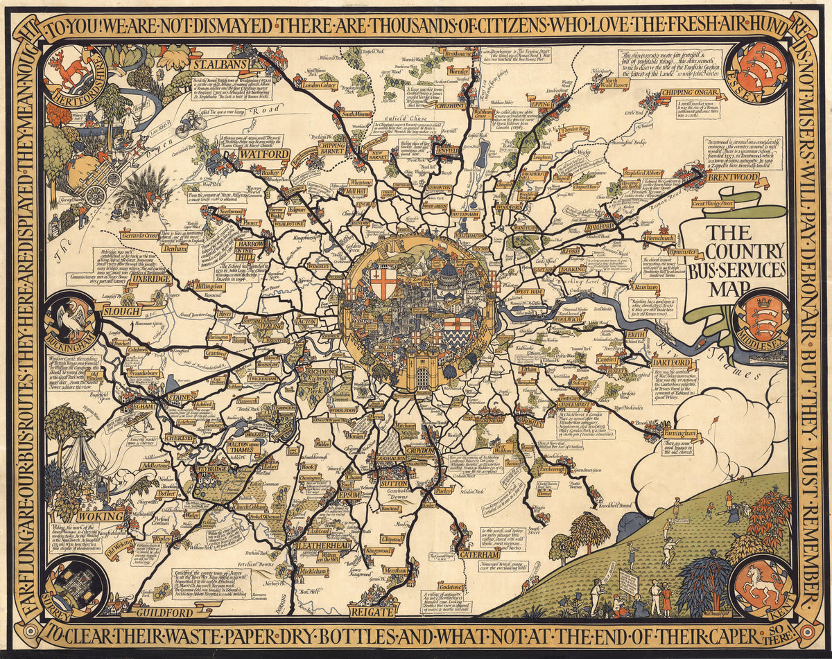
The Country Bus-Services Map, London and Vicinity by MacDonald Gill — London's bus routes radiating from a walled City medallion
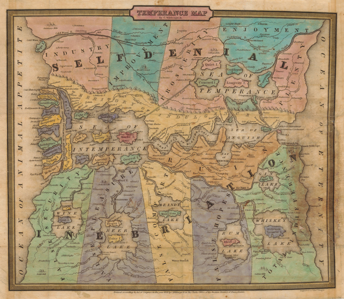
Temperance Map by John Christian Wiltberger Jr. — A moral map from Self-Denial to Ruin, with lakes of drink
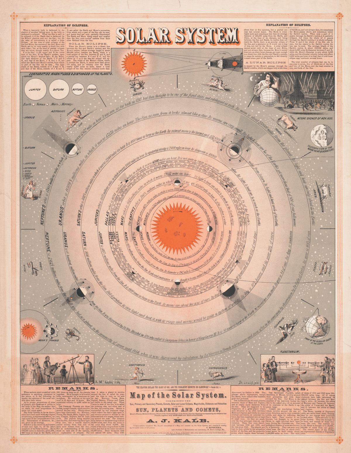
Map of the Solar System by A. McLean — Planetary orbits ringed by zodiac figures and eclipse diagrams
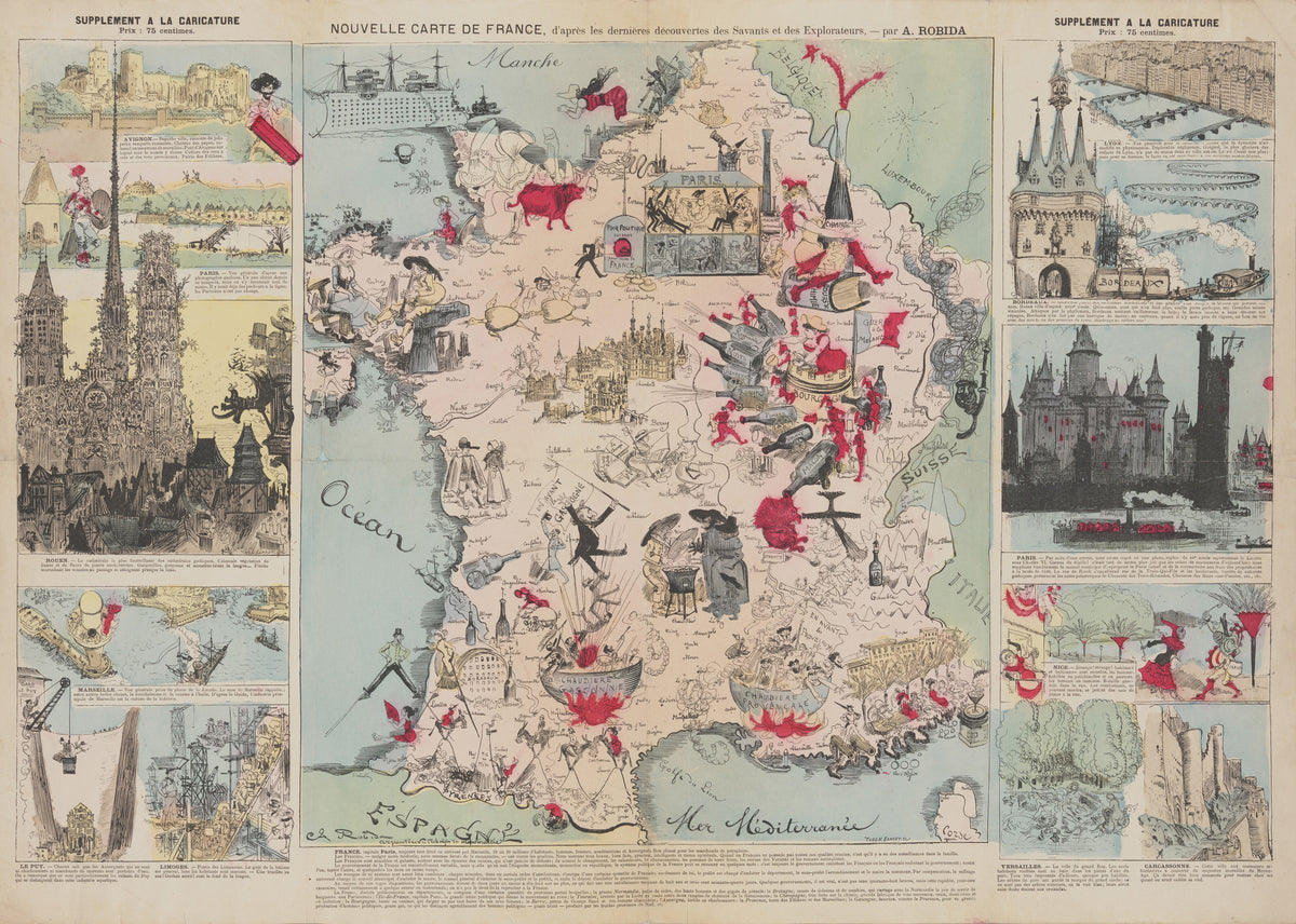
New Map of France, After the Latest Discoveries of the Scientists and Explorers by Albert Robida — France as a comic map of wine, cauldrons and city views
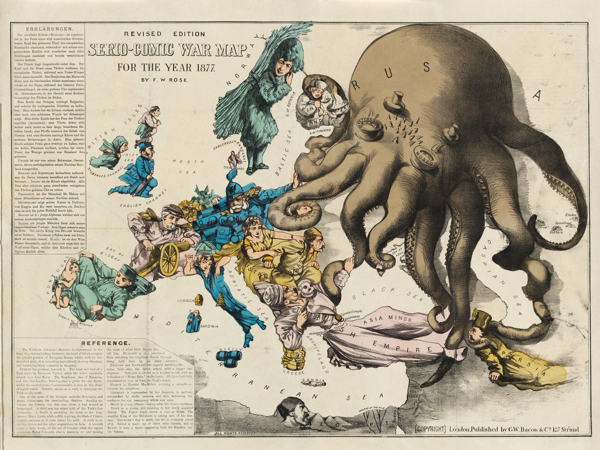
Serio-Comic War Map for the Year 1877 by Frederick W. Rose — A Russian octopus reaching across a costumed Europe
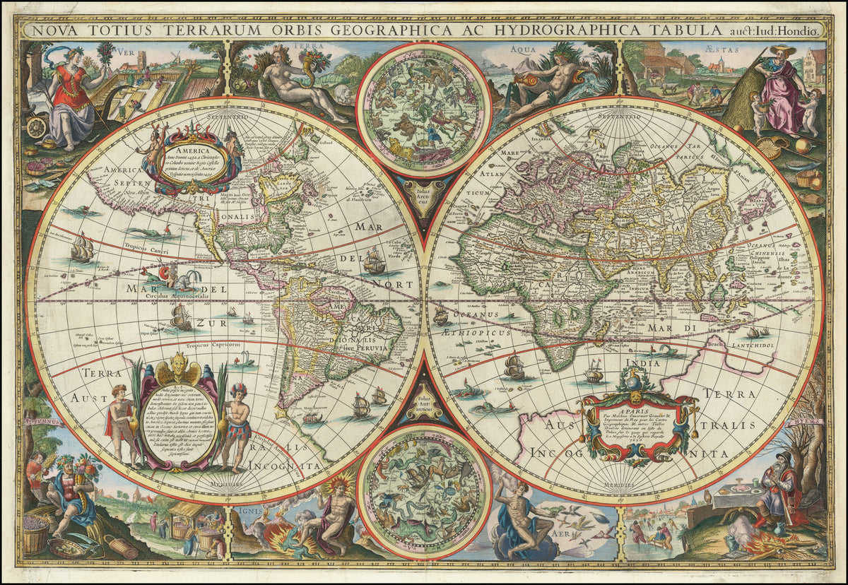
Nova Totius Terrarum Orbis Geographica ac Hydrographica Tabula by Melchior Tavernier II — A double-hemisphere world ringed by seasons and elements
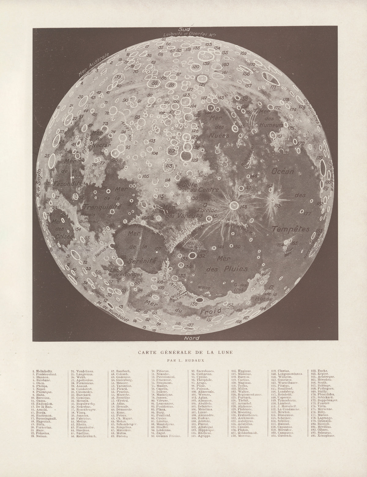
Carte Générale de la Lune by Lucien Rudaux — The whole Moon mapped crater by crater
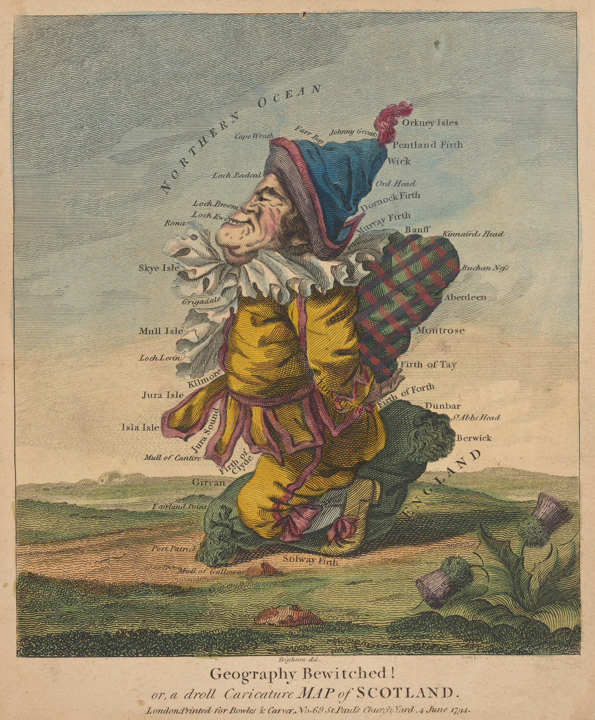
Geography Bewitched! Or, a Droll Caricature Map of Scotland by Robert Dighton — Scotland drawn as a grinning Highlander in a plaid
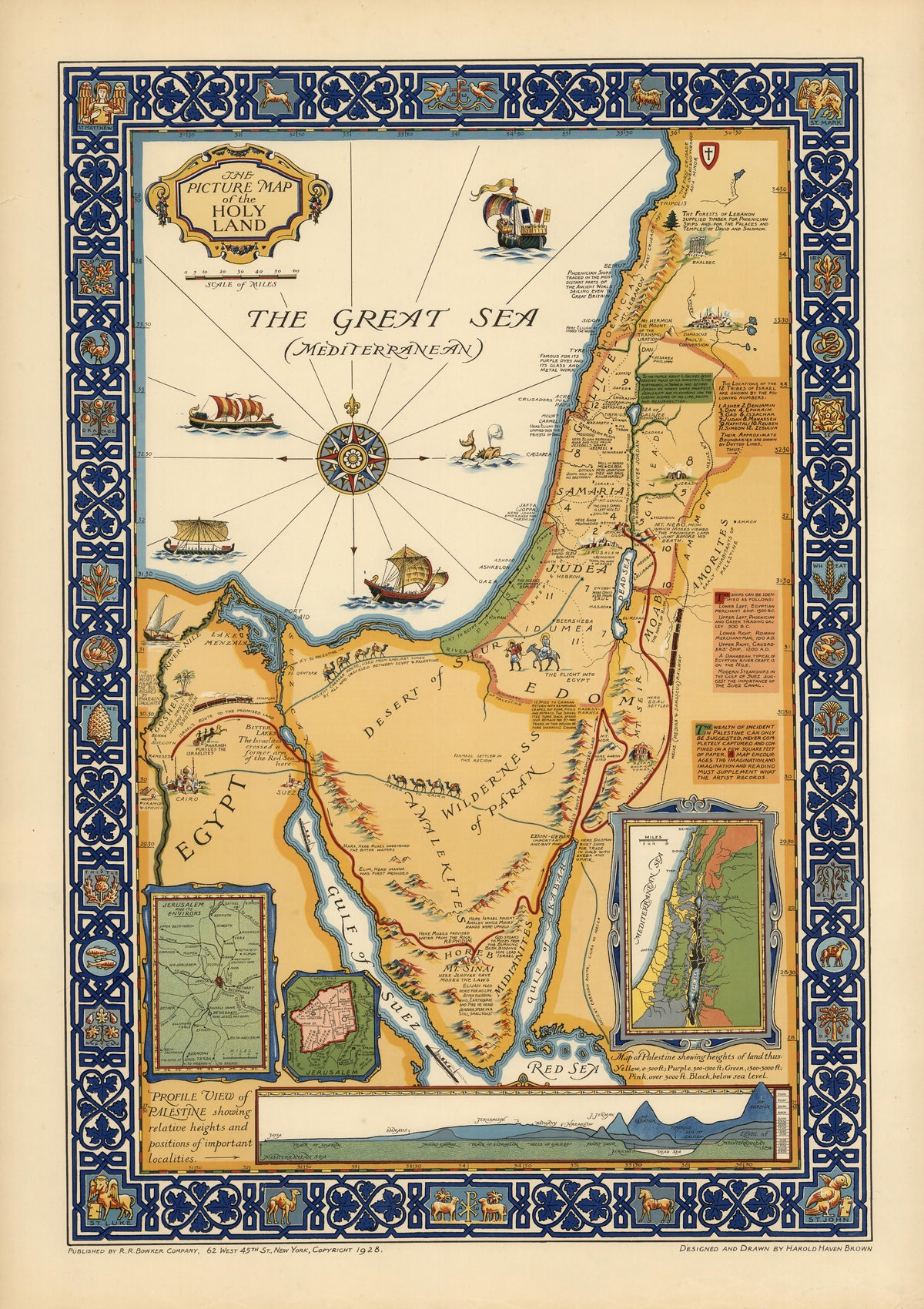
The Picture Map of the Holy Land by Harold Haven Brown — The Holy Land in ochre, set in a deep blue border
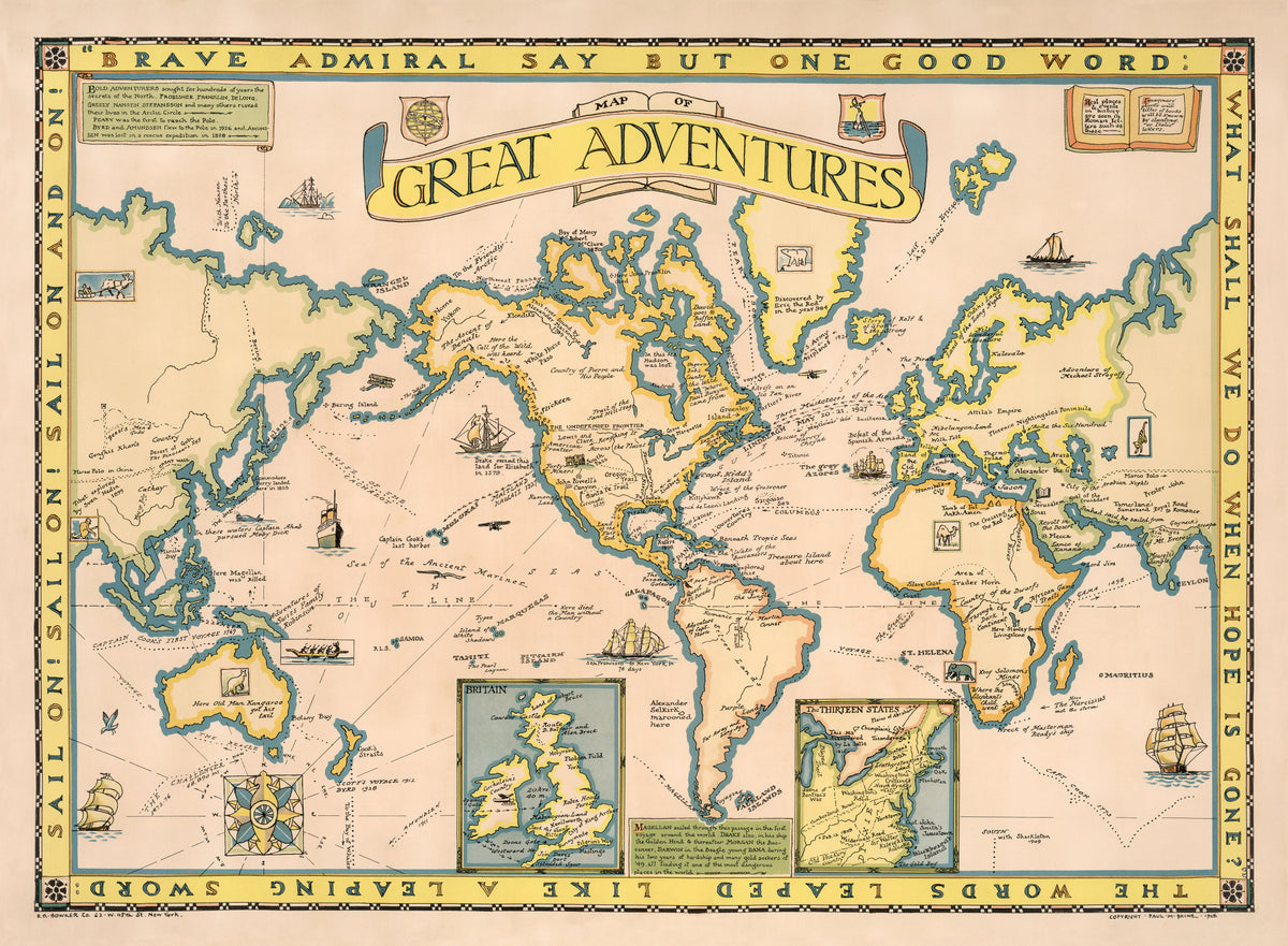
Map of Great Adventures by Paul Mayo Paine — The world's voyages and story-book places on one map
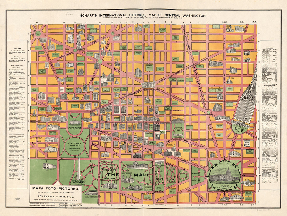
Scharf's International Pictorial Map of Central Washington by Emilio L. Scharf — Central Washington in orange blocks and pink avenues
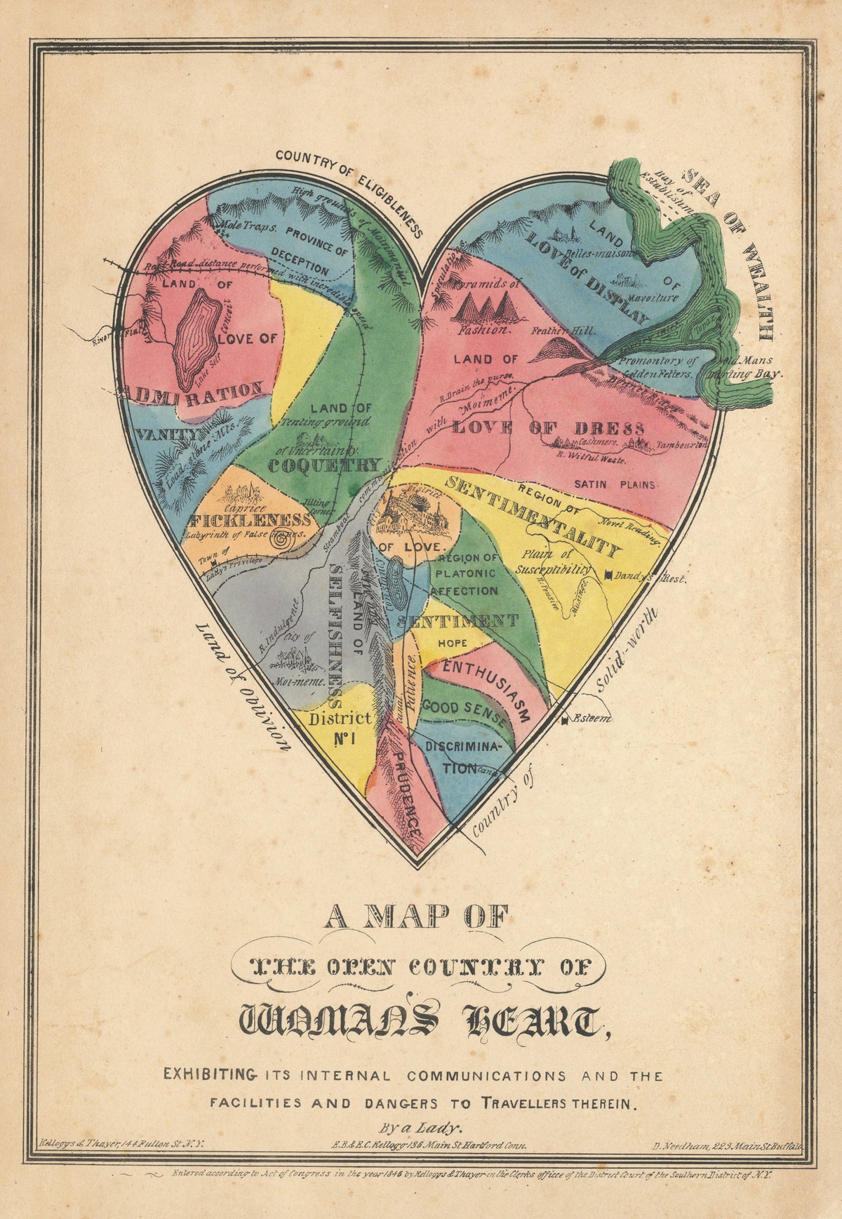
A Map of the Open Country of Woman's Heart by E.B. & E.C. Kellogg — A hand-coloured heart mapped as a country of feelings
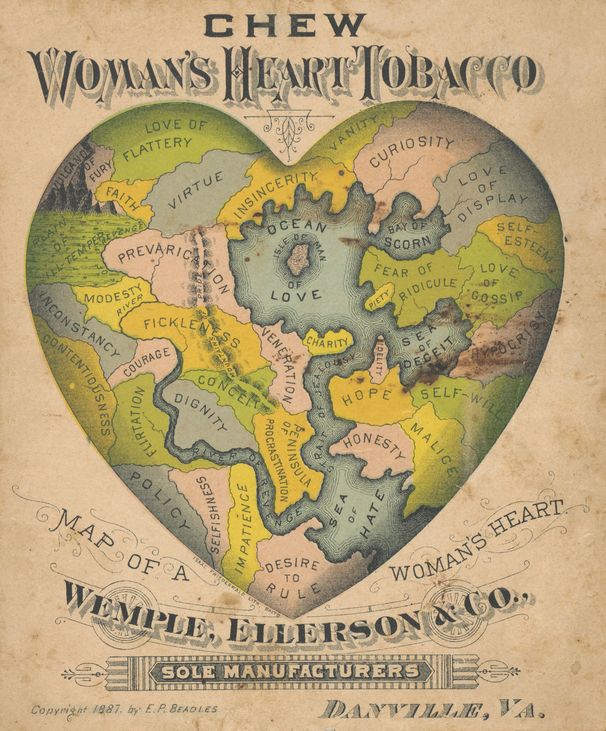
Map of a Woman's Heart by E.P. Beadles — A heart divided into lands of virtue, vanity and hate
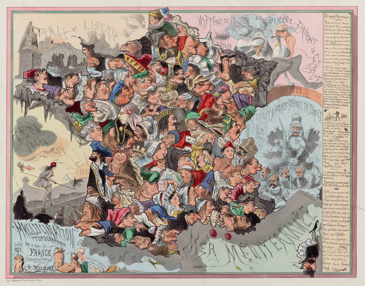
Malédiction topographique sur la carte de France by Achille Belloguet — France built from a crowd of cartoon faces
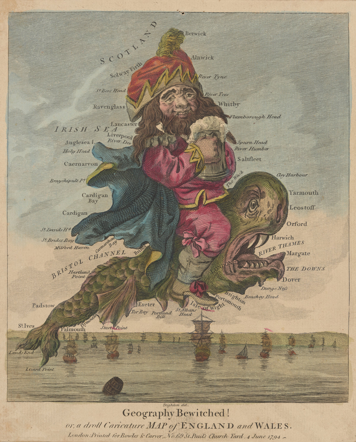
Geography Bewitched! A Droll Caricature Map of England and Wales by Robert Dighton — A bearded man with a tankard riding a tusked sea monster
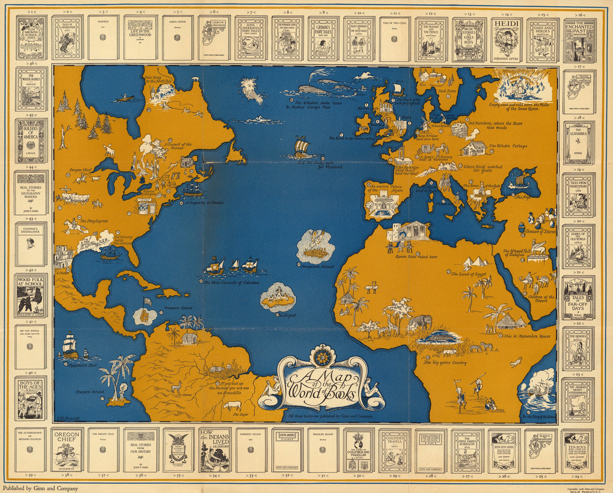
A Map of the World of Books by Ginn and Company — Storybook scenes across an ochre and blue Atlantic
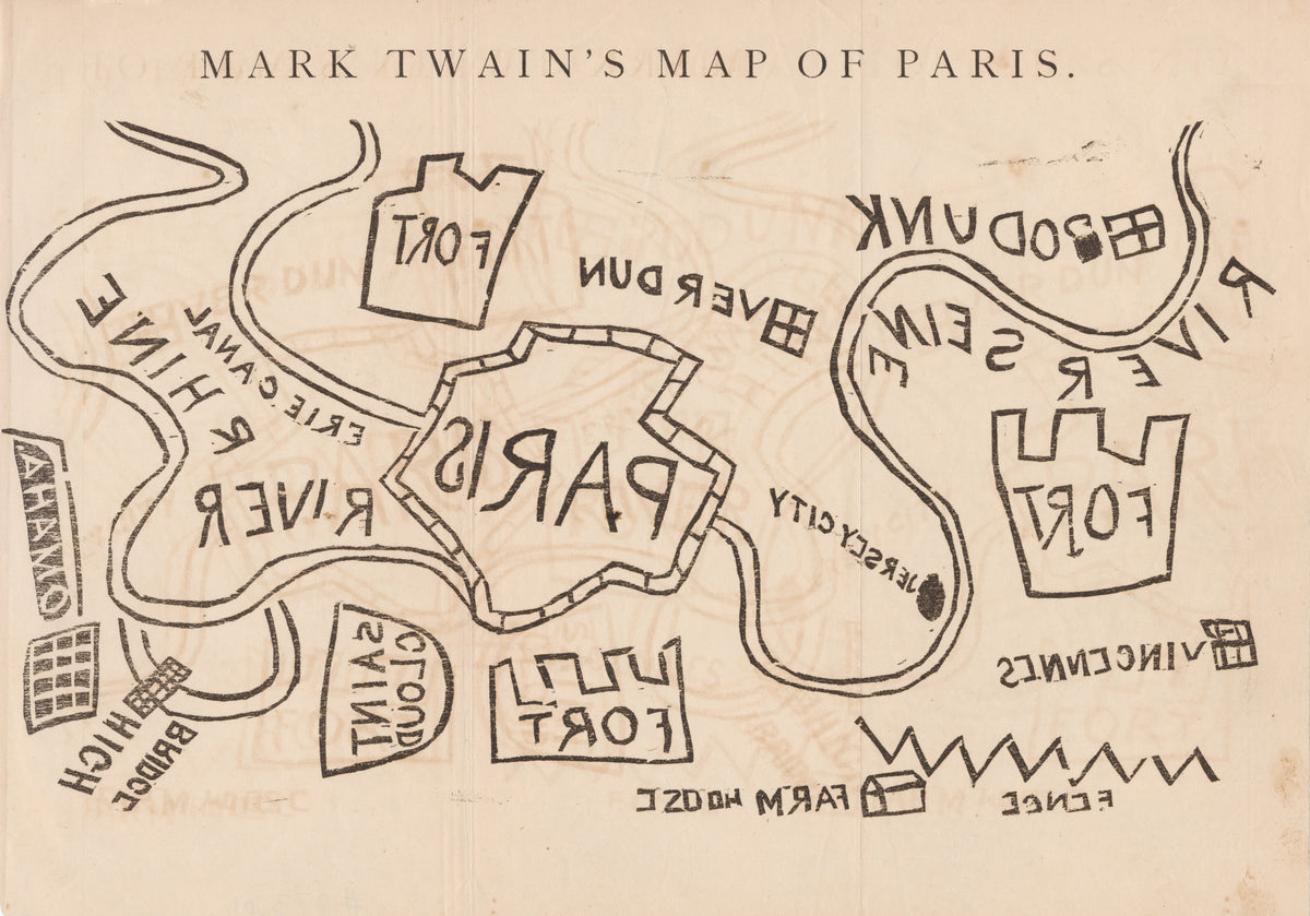
Mark Twain's Map of Paris by Mark Twain — A crude plan of Paris in thick black outlines and mirrored letters
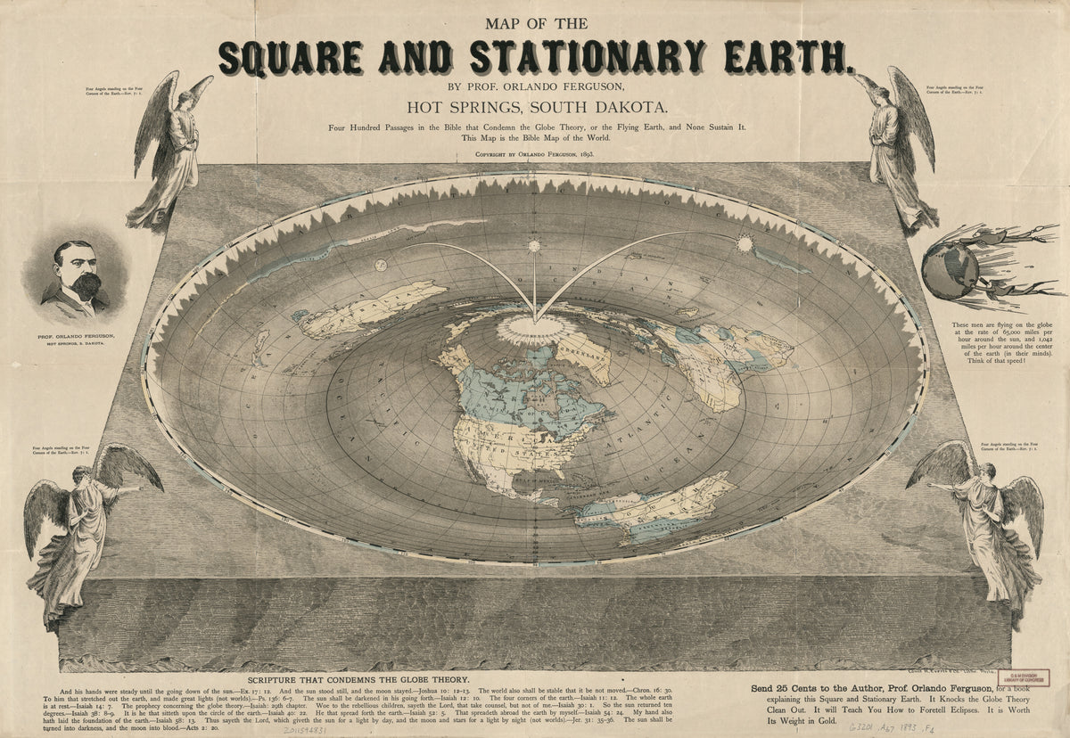
Map of the Square and Stationary Earth by Orlando Ferguson — A flat disc of earth with an angel at each corner
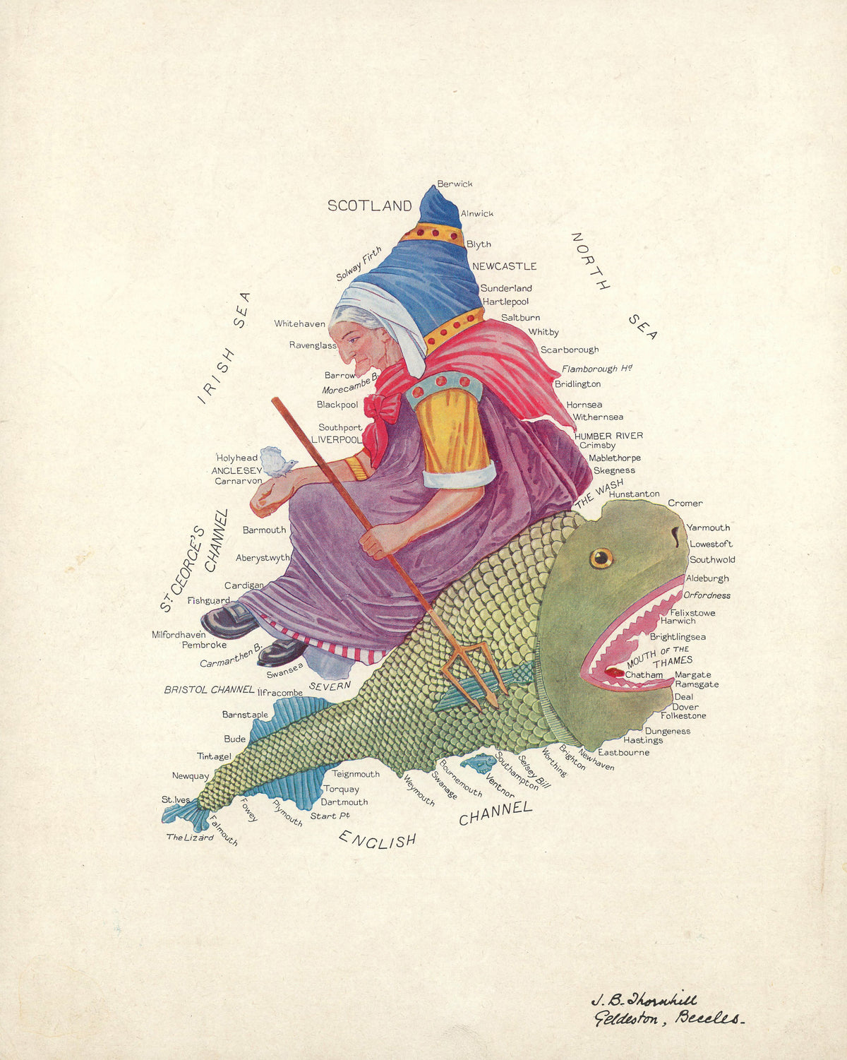
Allegorical Map of England and Wales by J.B. Thornhill — England and Wales as an old woman riding a great fish
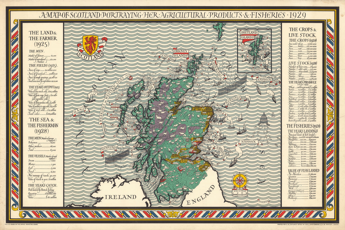
A Map of Scotland Portraying Her Agricultural Products and Fisheries by MacDonald Gill — Scotland among striped waves, her farms and fisheries drawn in
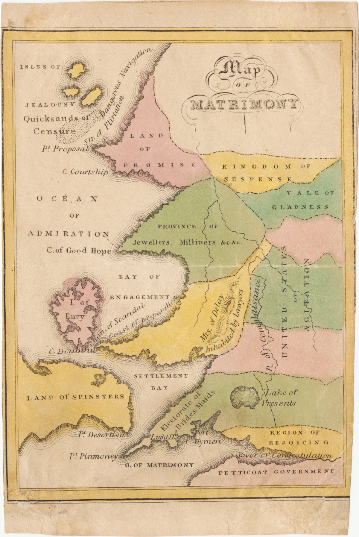
Map of Matrimony by John de Peyster Douw — Courtship and marriage charted as a country of coloured regions
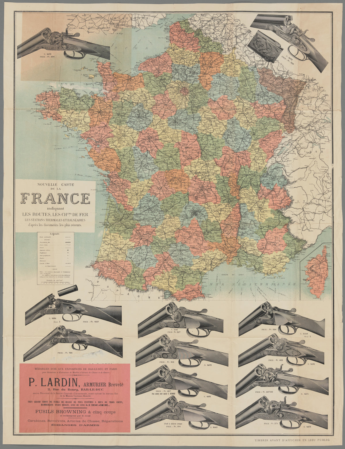
Shotgun Map of France by Dufrénoy — France in pastel departments, ringed by a gunmaker's shotguns
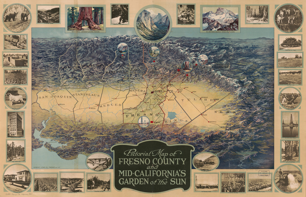
Pictorial Map of Fresno County and Mid-California's Garden of the Sun by Schmidt Lithograph Company — A California valley ringed by small captioned pictures
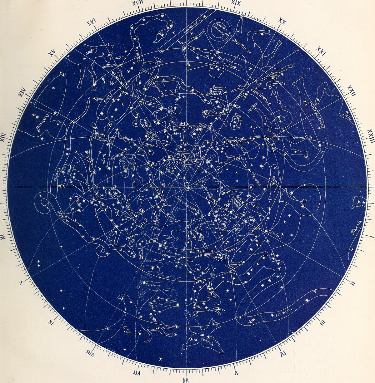
Star Map from Astronomy without a Telescope by Elias Colbert — White constellations drawn as creatures on a deep blue disc
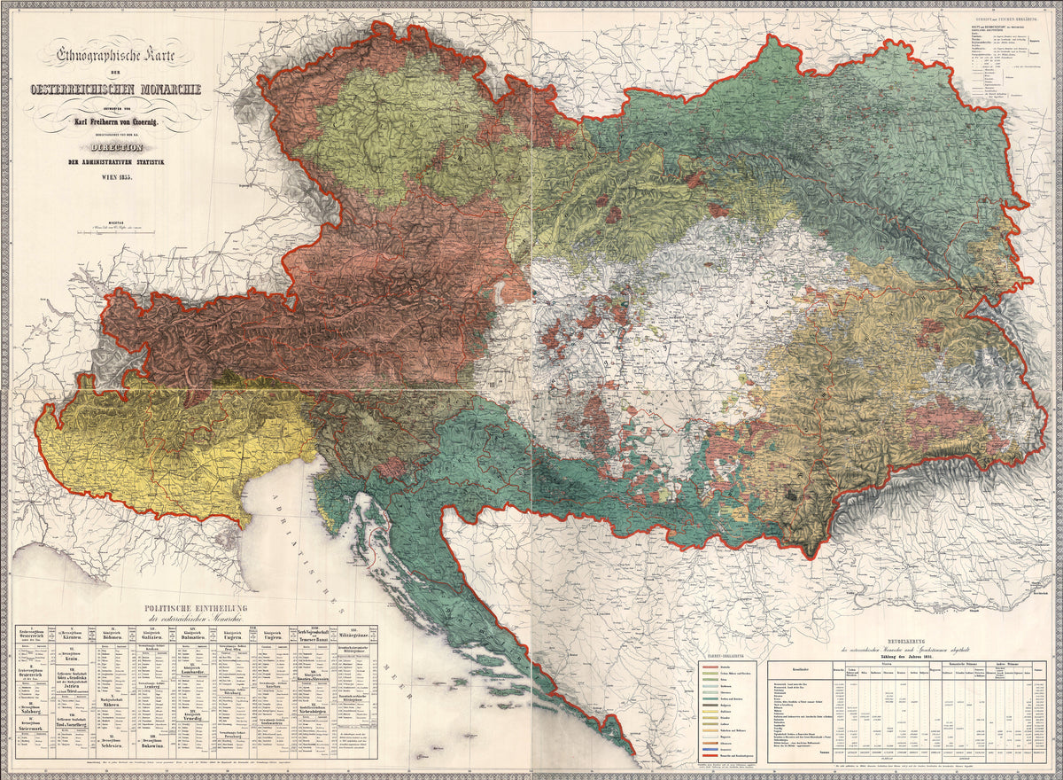
Ethnographic Map of the Austrian Monarchy by Karl von Czoernig — An empire painted in rust, green, teal and ochre by language
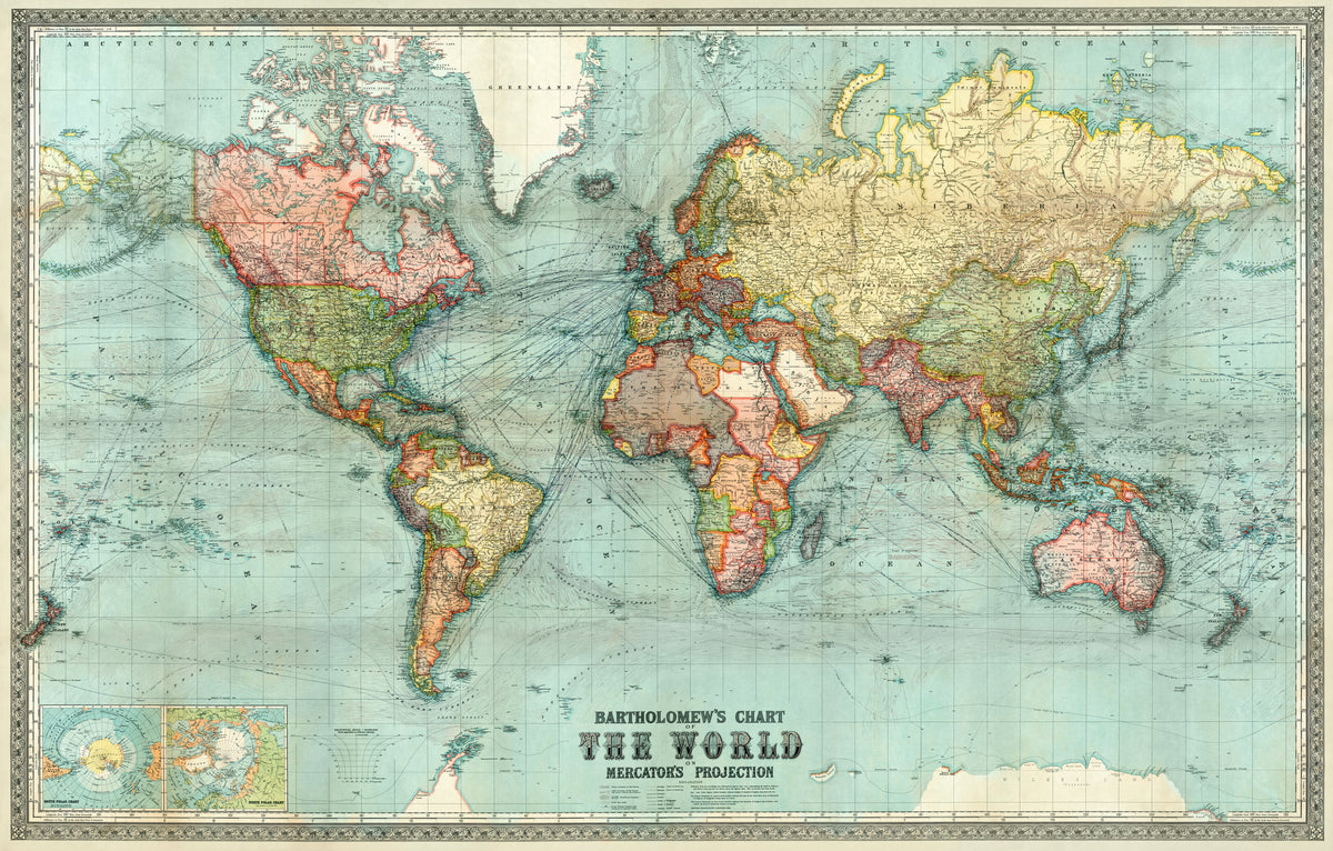
Bartholomew's Chart of the World on Mercator's Projection by John George Bartholomew — The whole world in aqua, rose and yellow, crossed by sea lanes
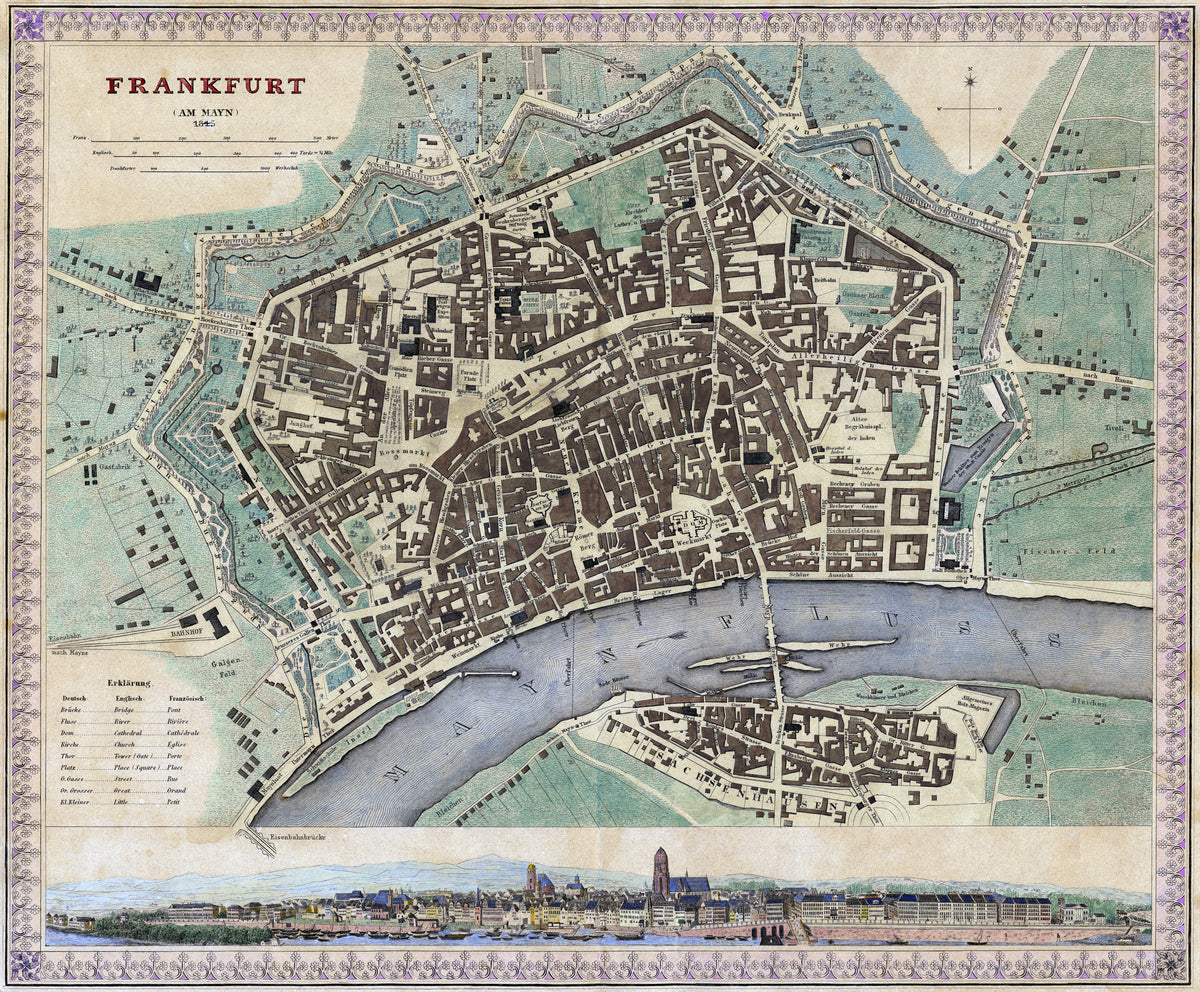
Frankfurt am Main — Frankfurt's old town in brown blocks beside a violet river
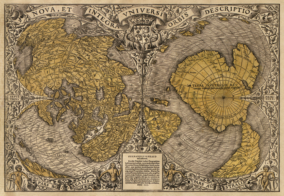
Nova et Integra Universi Orbis Descriptio by Oronce Finé — The world drawn as a double heart in ochre and grey woodcut
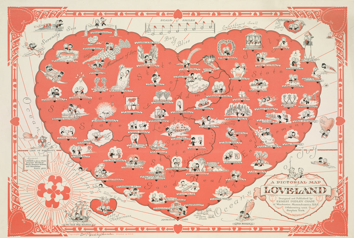
A Pictorial Map of Loveland by Ernest Dudley Chase — A heart-shaped land where little couples roam in coral red
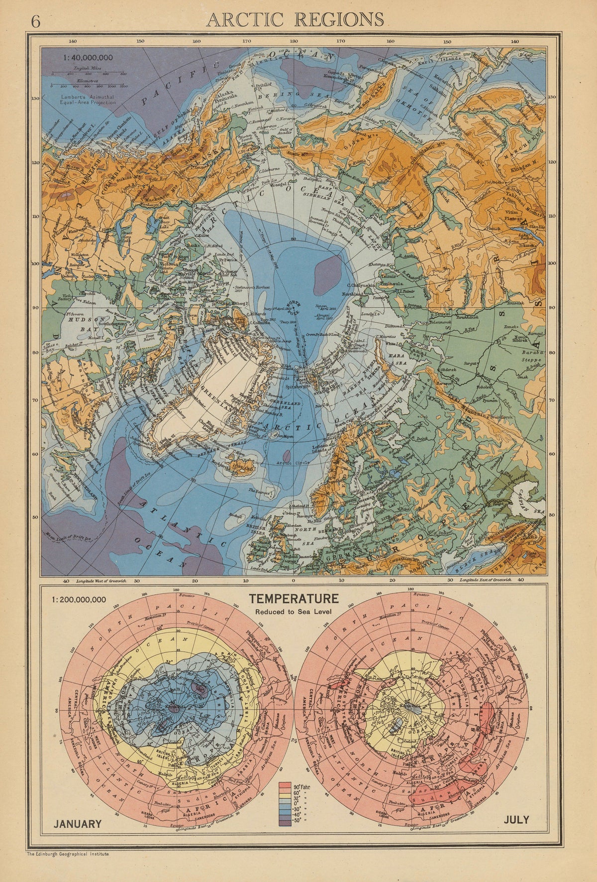
Arctic Regions: Temperature, January and July by John Bartholomew & Son — The top of the world in layered blues, greens and orange
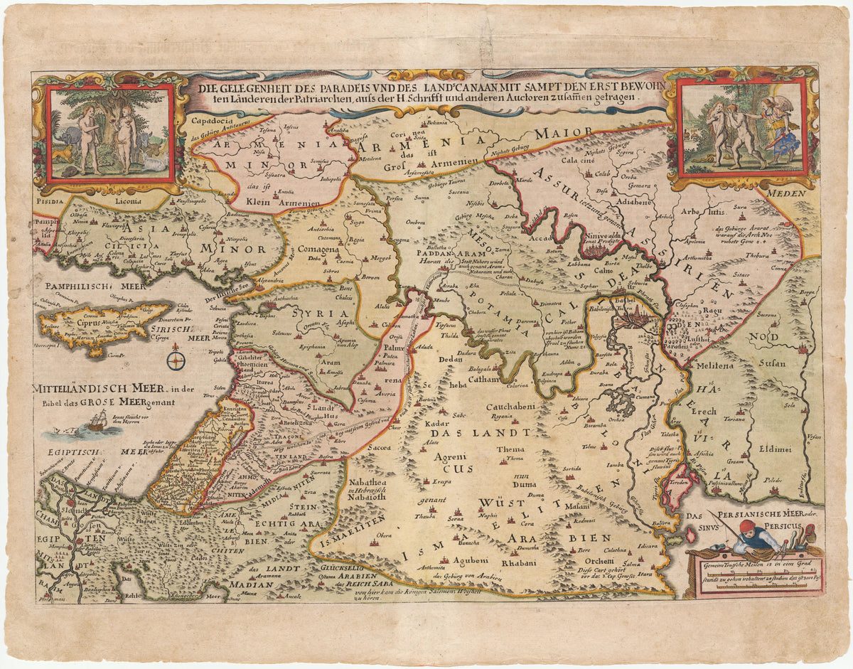
Die Gelegenheit des Paradeis und des Lands Canaan by Nicolaes Visscher — Eden and the patriarchs' lands between two Adam and Eve scenes
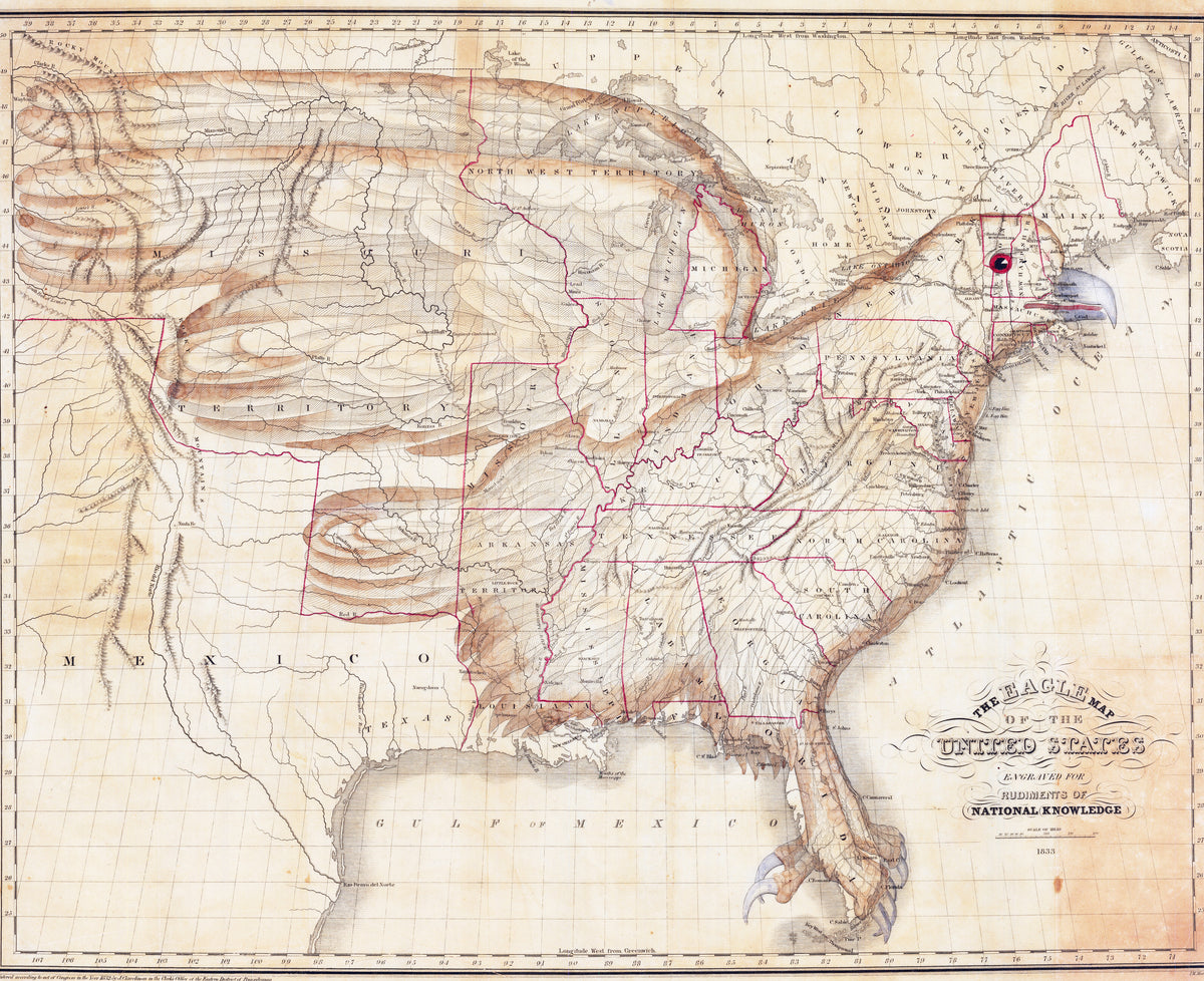
The Eagle Map of the United States by Joseph Churchman — The young United States drawn as an eagle across the map
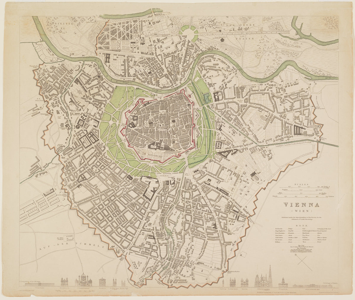
Vienna by Society for the Diffusion of Useful Knowledge — Vienna's walled core ringed by green, with the Danube above
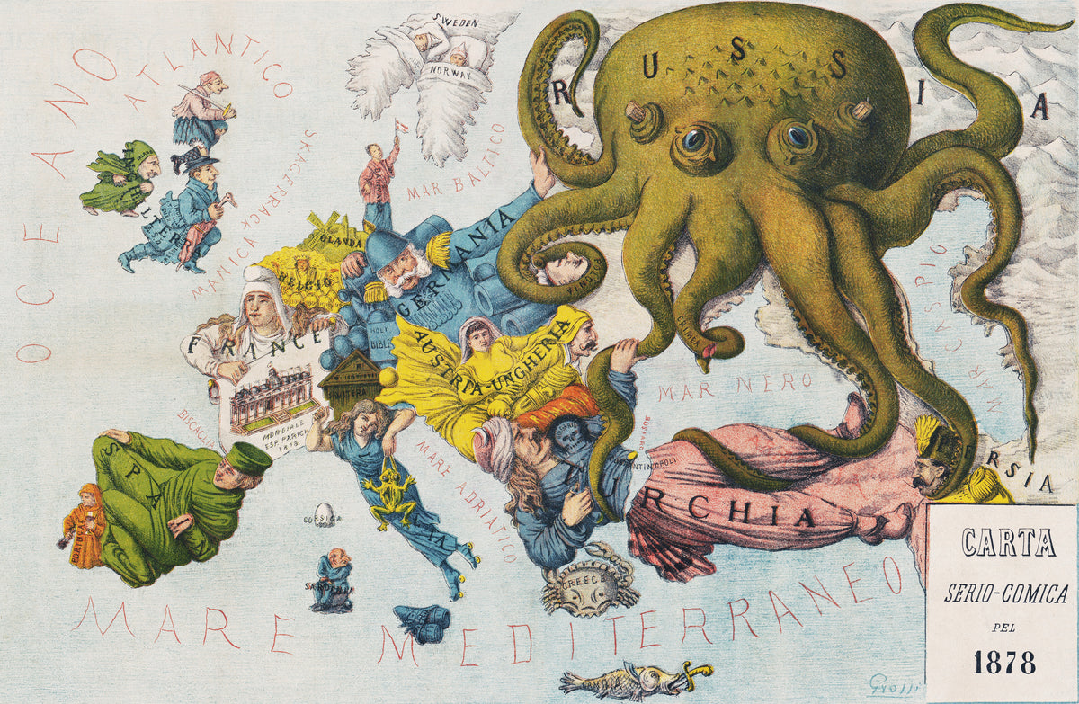
La Piovra Russa: Carta Serio-Comica 1878 by Augusto Grossi — Europe in 1878 as comic figures under a vast green octopus
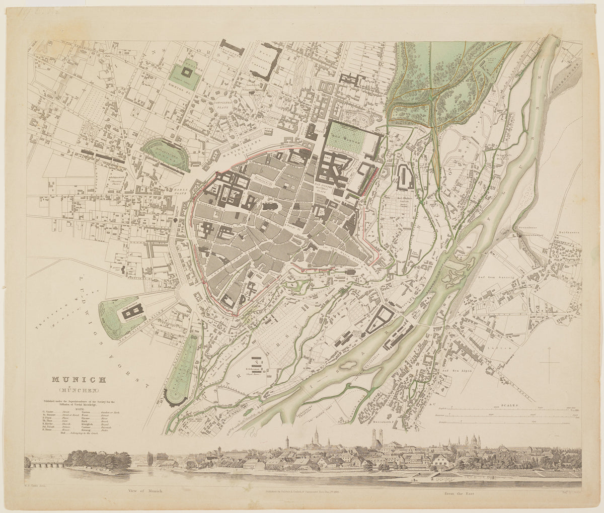
Munich by Society for the Diffusion of Useful Knowledge — Munich's walled old town with a panorama of the city beneath
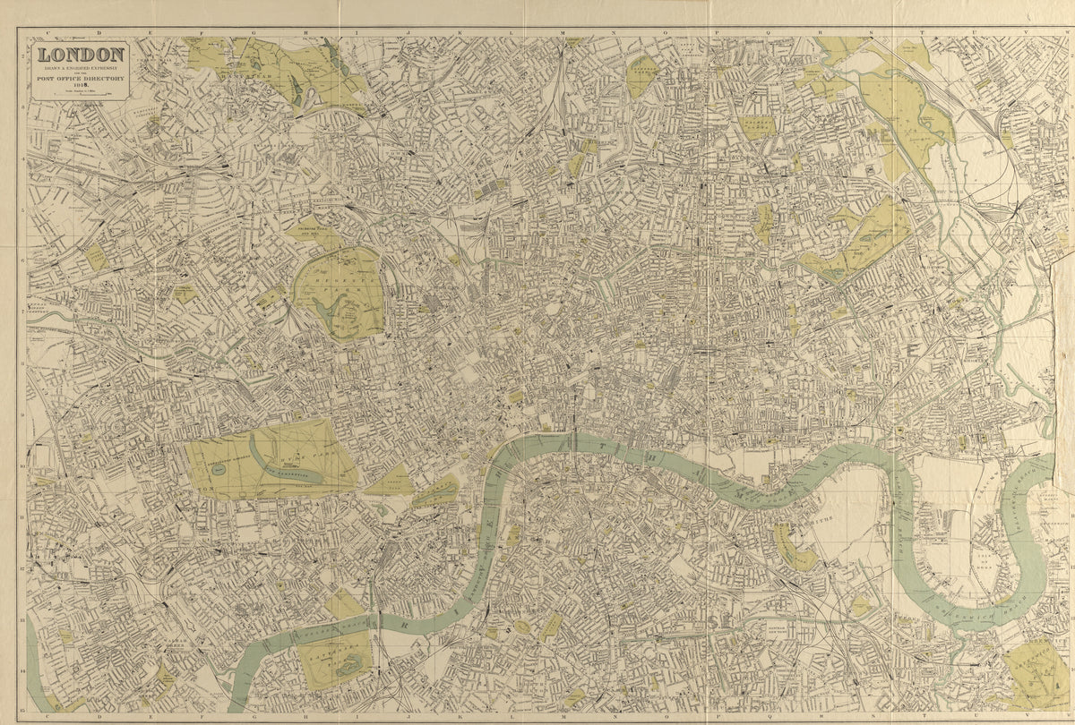
London: Map for the Post Office Directory by Kelly's Directories — London's streets in 1918, with the Thames looping through
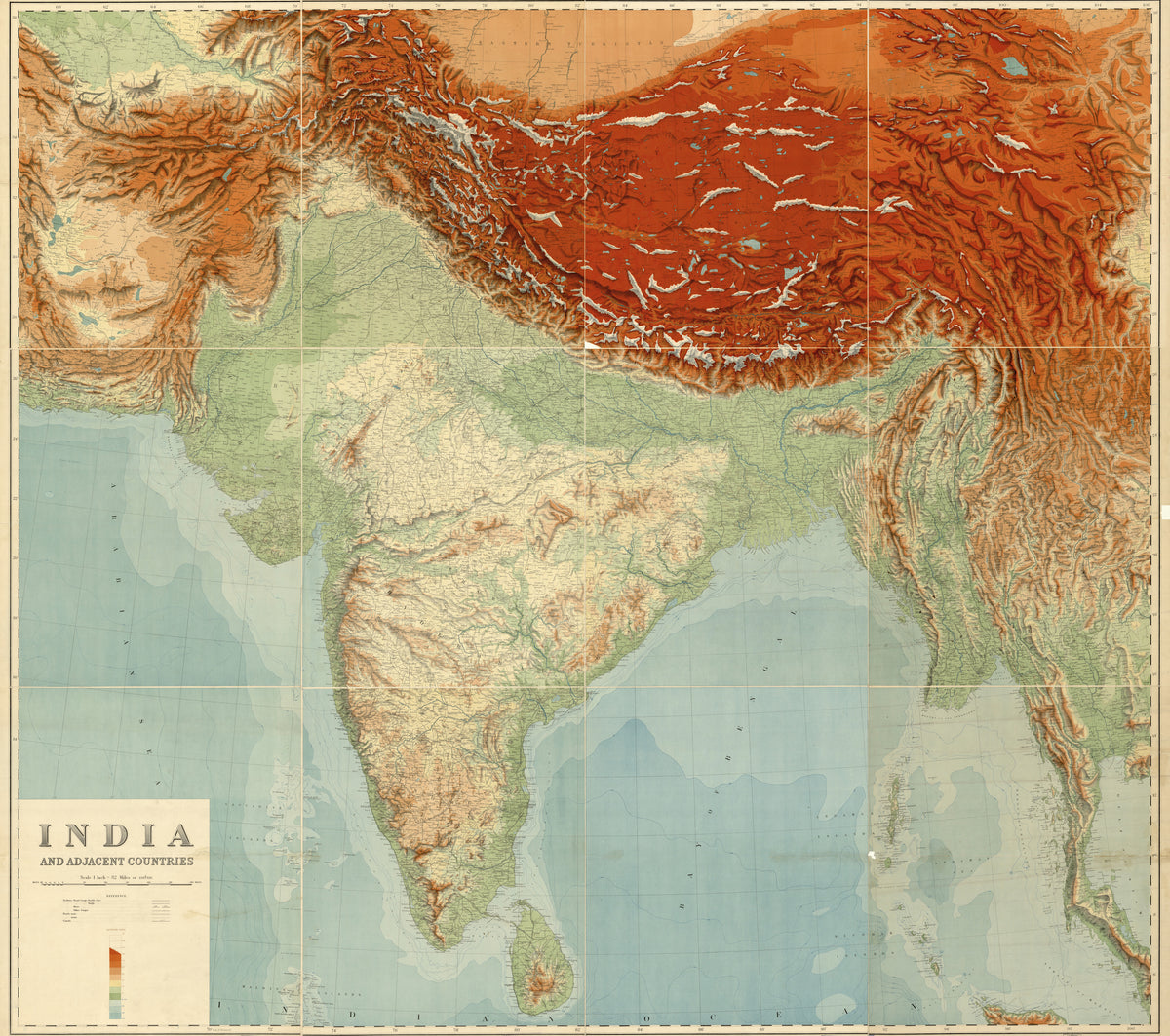
India and Adjacent Countries by Survey of India — South Asia in elevation tints, from the Himalaya to the sea
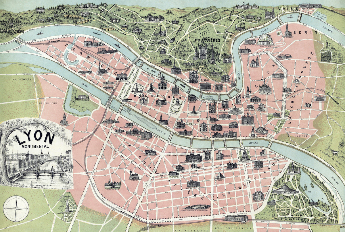
Lyon Monumental by Garnier Frères — Lyon between its two rivers, with its landmarks drawn in miniature
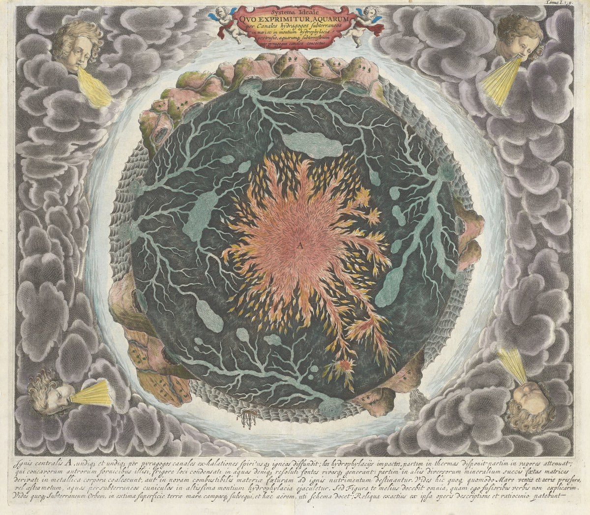
Systema Ideale quo exprimitur Aquarum per Canales Hydragogos Subterraneos by Athanasius Kircher — The Earth cut open: a fiery core and veins of water
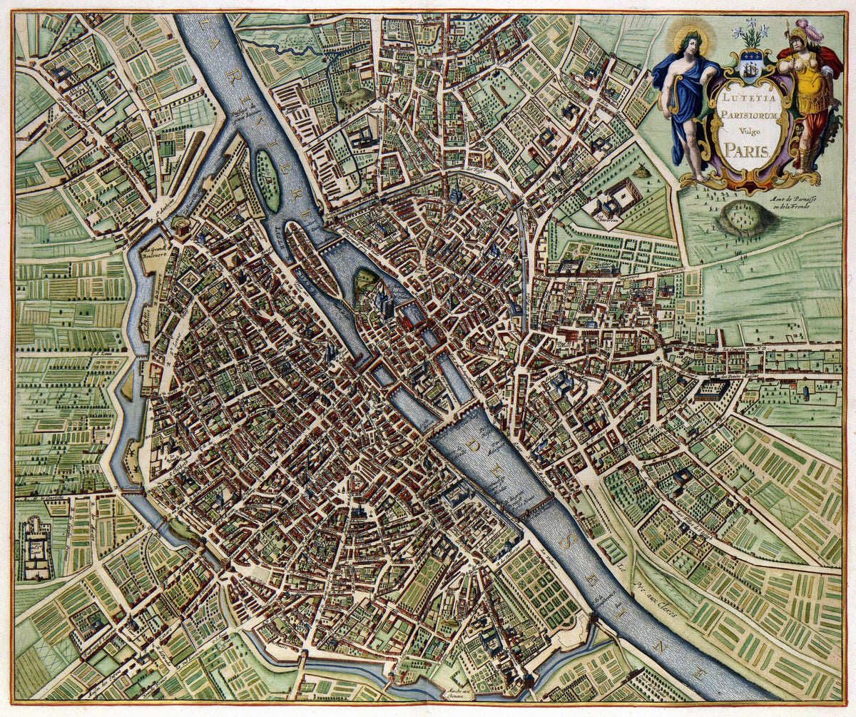
Lutetia Parisiorum vulgo Paris by Jan Janssonius — Seventeenth-century Paris on the Seine, with a gilded title cartouche
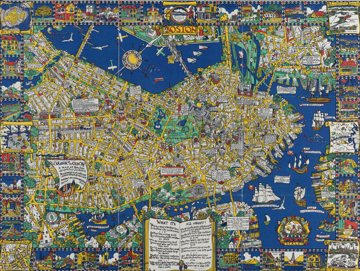
The Colour of an Old City: A Map of Boston, Decorative and Historical by Edwin Olsen — Boston in blue and yellow, ringed by vignettes and tall ships