Skip to content
4.9/5 From 210 Reviews
500+ Cities Served Internationally
Free Shipping Worldwide
Testimonials

Cart

Your cart is empty

Collection · 44 prints

The World Imagined

Maps of places no surveyor ever reached

The World Imagined art prints: satirical, allegorical, pictorial and celestial maps, with esoteric and alchemical engravings. The collection includes Michelangelo Caetani's Cross Section of Hell (1855), Orlando Ferguson's Map of the Square and Stationary Earth (1893), the Fool's Cap Map of the World (1590), Augusto Grossi's La Piovra Russa: Carta Serio-Comica (1878) and E.B. & E.C. Kellogg's A Map of the Open Country of Woman's Heart (1846). It also includes celestial charts by Andreas Cellarius (1660), engravings by Robert Fludd (1617), Mark Twain's Map of Paris (1870) and 1920s pictorial maps such as MacDonald Gill's The Famous Wonderground Map of London Town.

The selection focuses on maps that show ideas rather than territory: war satire from 1870 to 1914, allegorical maps of love, marriage, temperance and human life, literary maps of books and poets, and diagrams of the heavens and of Hell.

The maps suit studies, libraries, offices and hallways, and the pictorial and fairytale maps also suit children's rooms. All prints are museum-quality reproductions, available unframed or framed with low-glare acrylic glazing, with free shipping and import duties covered.
Aquarium — Saint-Saëns · Seattle Youth Symphony
Browse all 44 prints
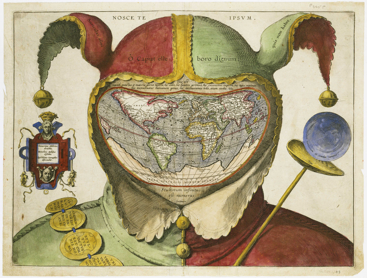
Fool's Cap Map of the World — A jester's cap and ruff framing a heart-shaped map of the world
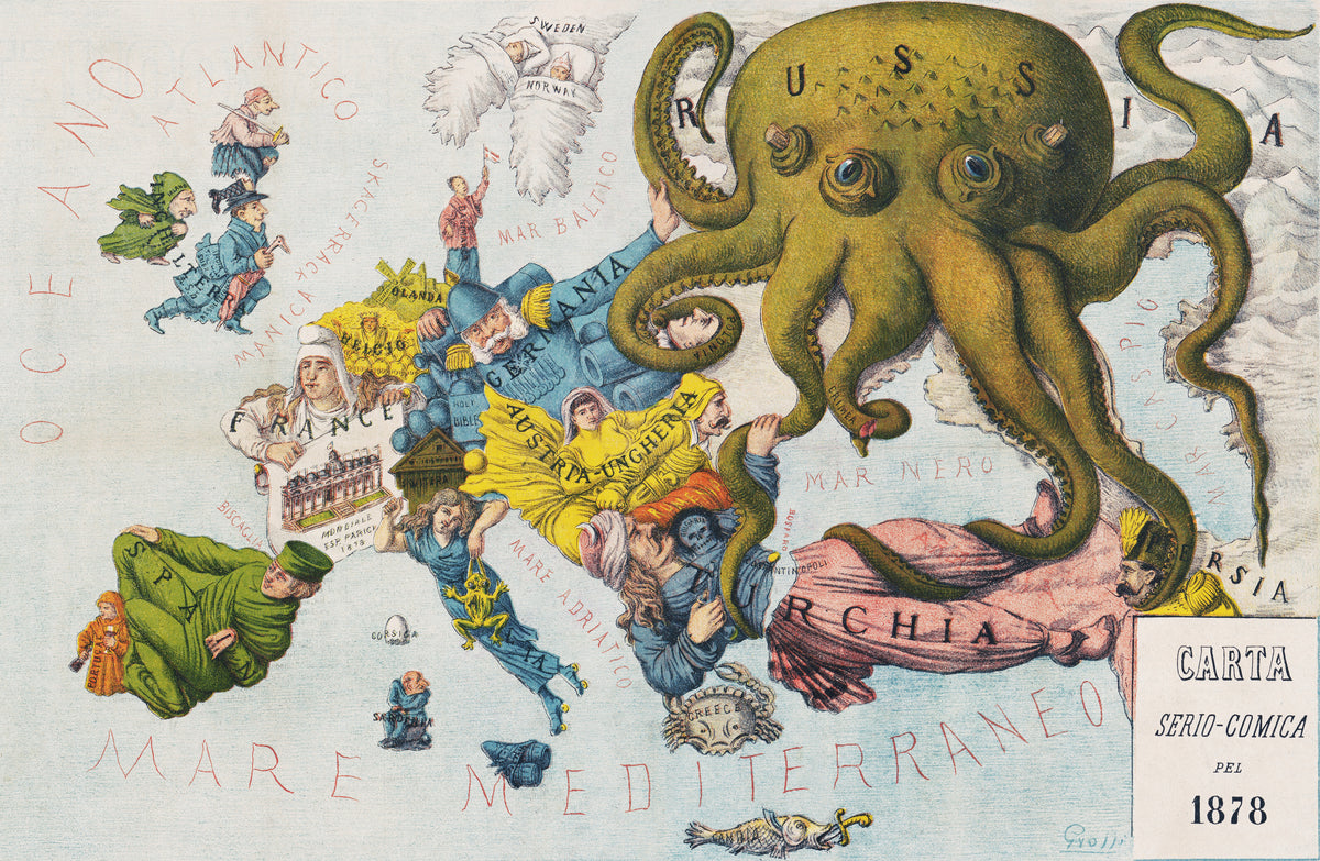
La Piovra Russa: Carta Serio-Comica 1878 by Augusto Grossi — Europe in 1878 as comic figures under a vast green octopus
Cross Section of Hell by Michelangelo Caetani — A cutaway diagram of Dante's descending circles of Hell
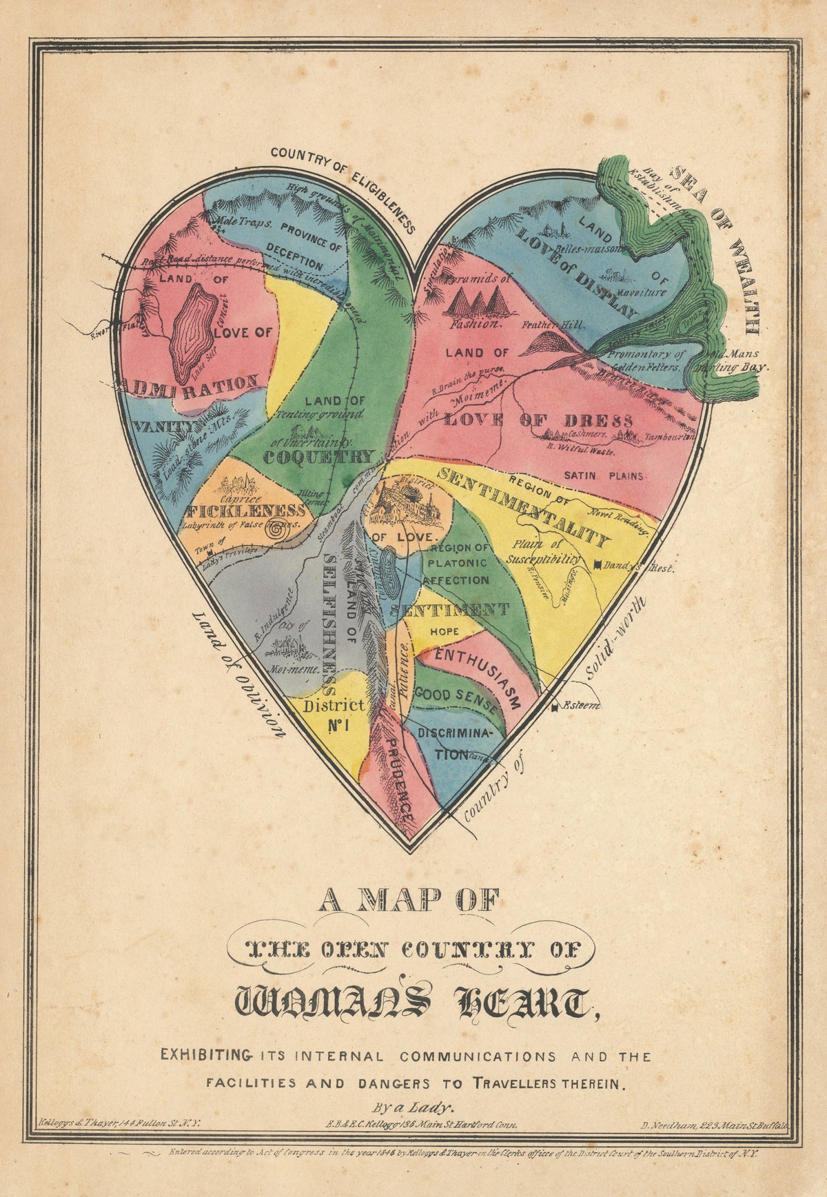
A Map of the Open Country of Woman's Heart by E.B. & E.C. Kellogg — A hand-coloured heart mapped as a country of feelings
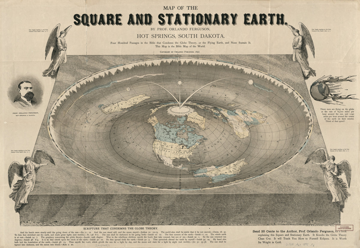
Map of the Square and Stationary Earth by Orlando Ferguson — A flat disc of earth with an angel at each corner
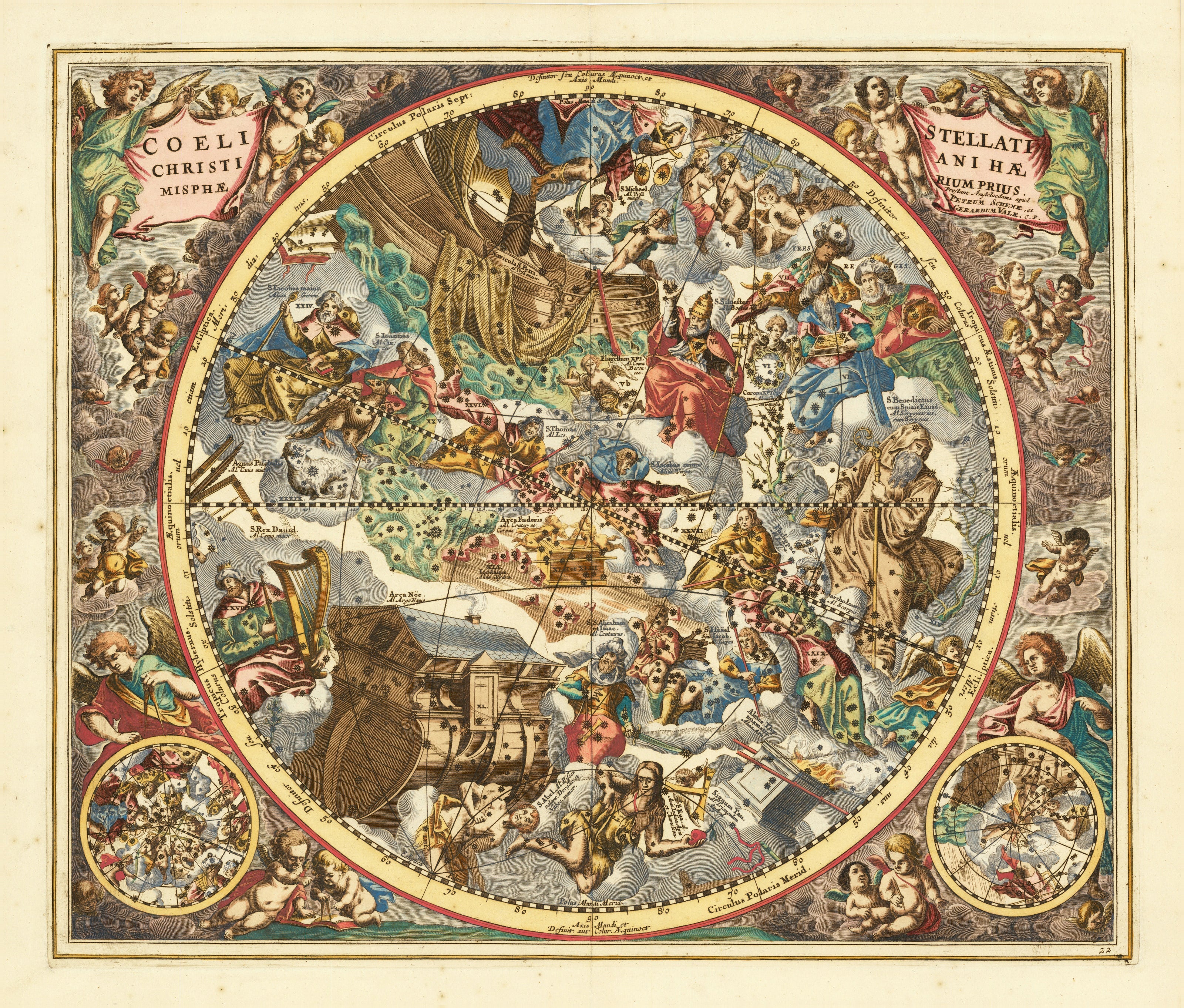
Andreas Cellarius — The Christian Starry Heaven, First Hemisphere (Plate 22) | Celestial Map Print - 9ArtPrints
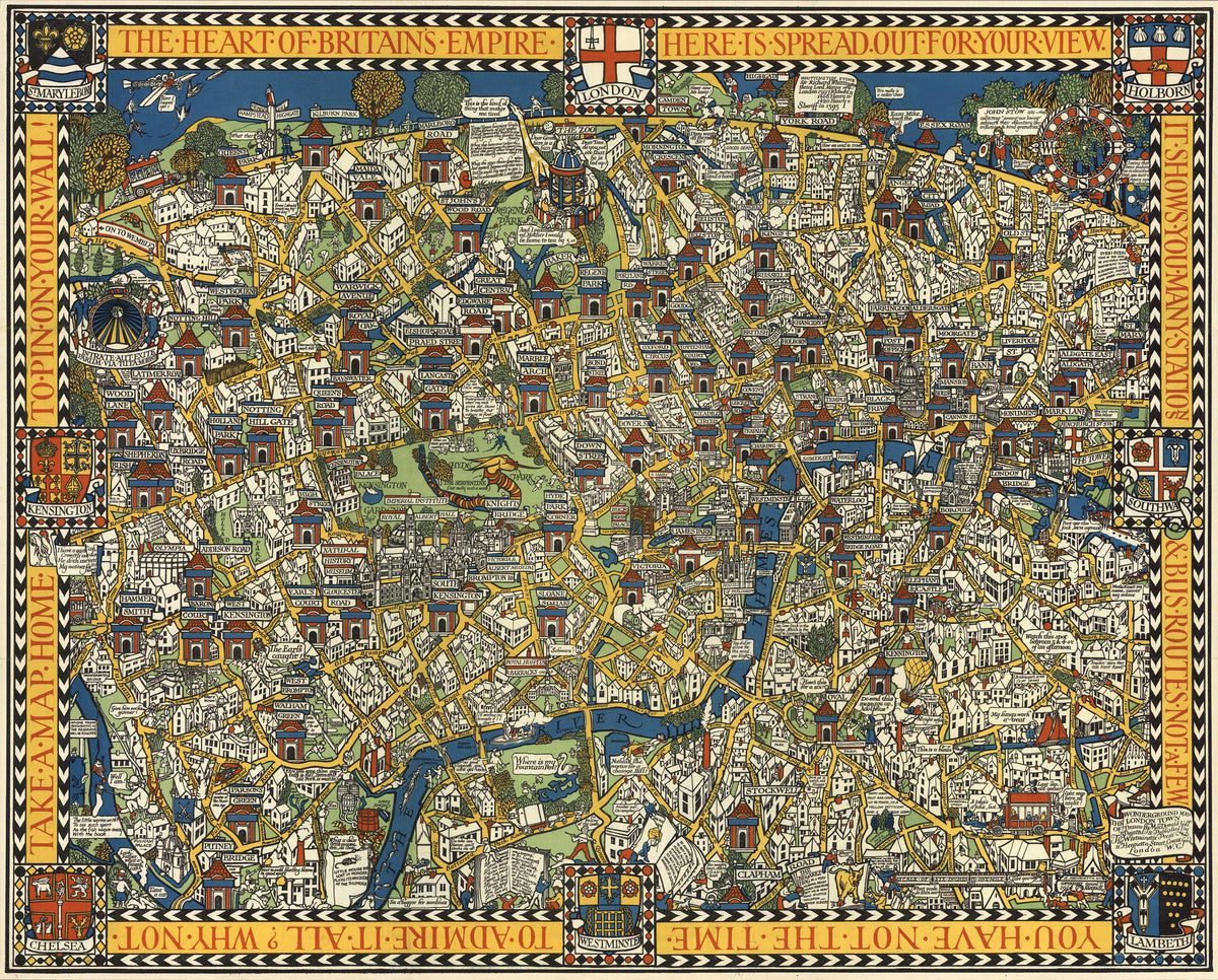
The Famous Wonderground Map of London Town by MacDonald Gill — Central London as a crowded, comic jigsaw of streets
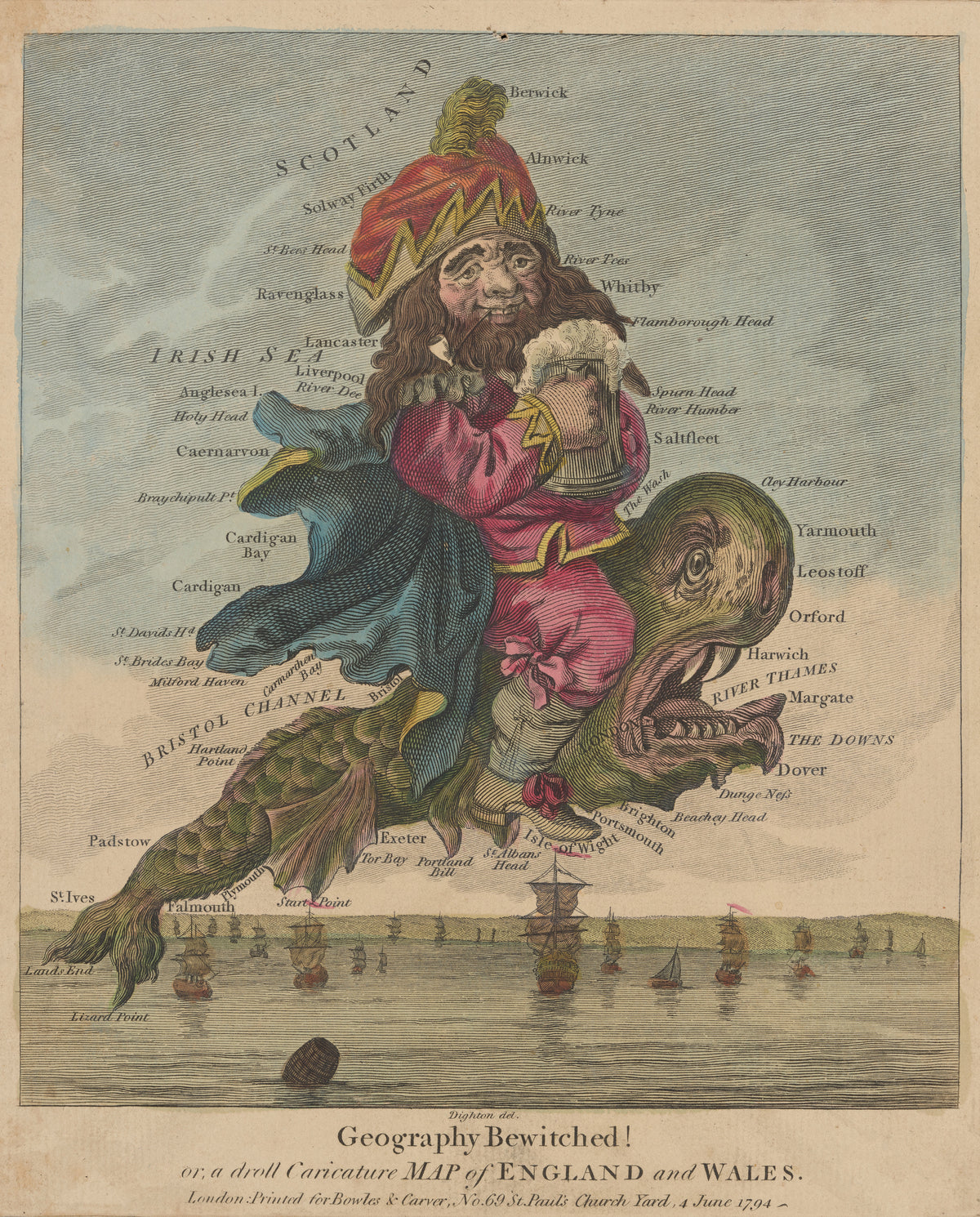
Geography Bewitched! A Droll Caricature Map of England and Wales by Robert Dighton — A bearded man with a tankard riding a tusked sea monster
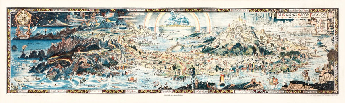
Vintage Illustration — Fairytale Map | Fine Art Print - 9ArtPrints
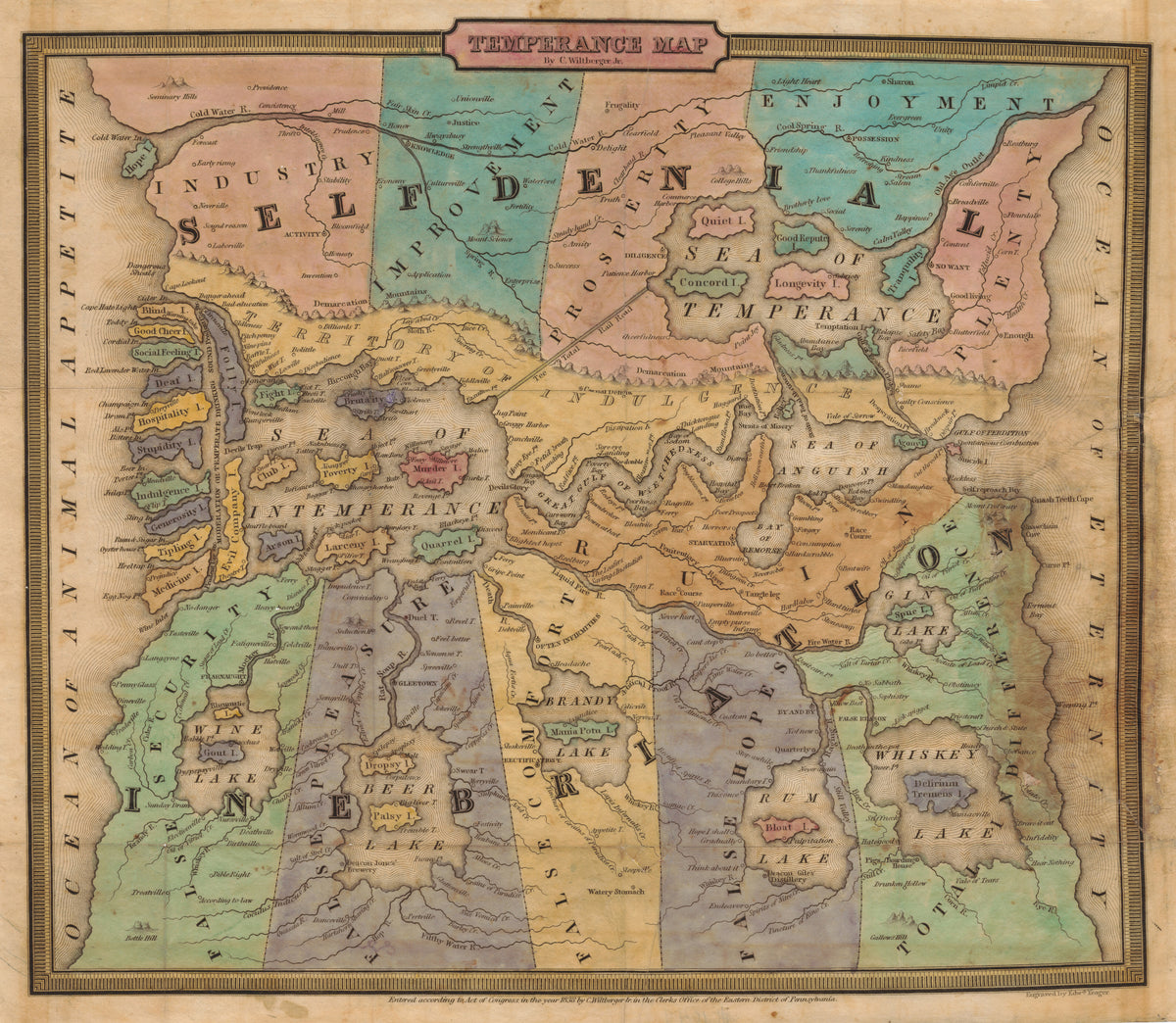
Temperance Map by John Christian Wiltberger Jr. — A moral map from Self-Denial to Ruin, with lakes of drink
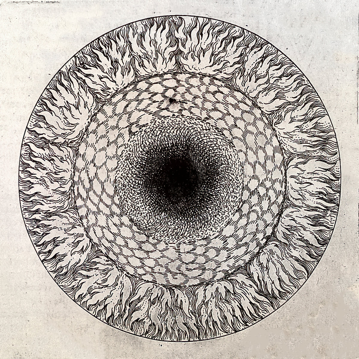
Heavenly Layers by Robert Fludd — Concentric rings of pattern spiral toward a dark centre
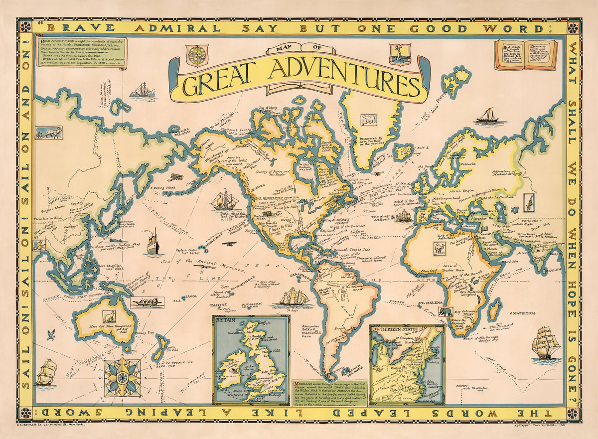
Map of Great Adventures by Paul Mayo Paine — The world's voyages and story-book places on one map
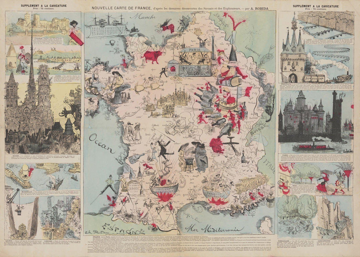
New Map of France, After the Latest Discoveries of the Scientists and Explorers by Albert Robida — France as a comic map of wine, cauldrons and city views
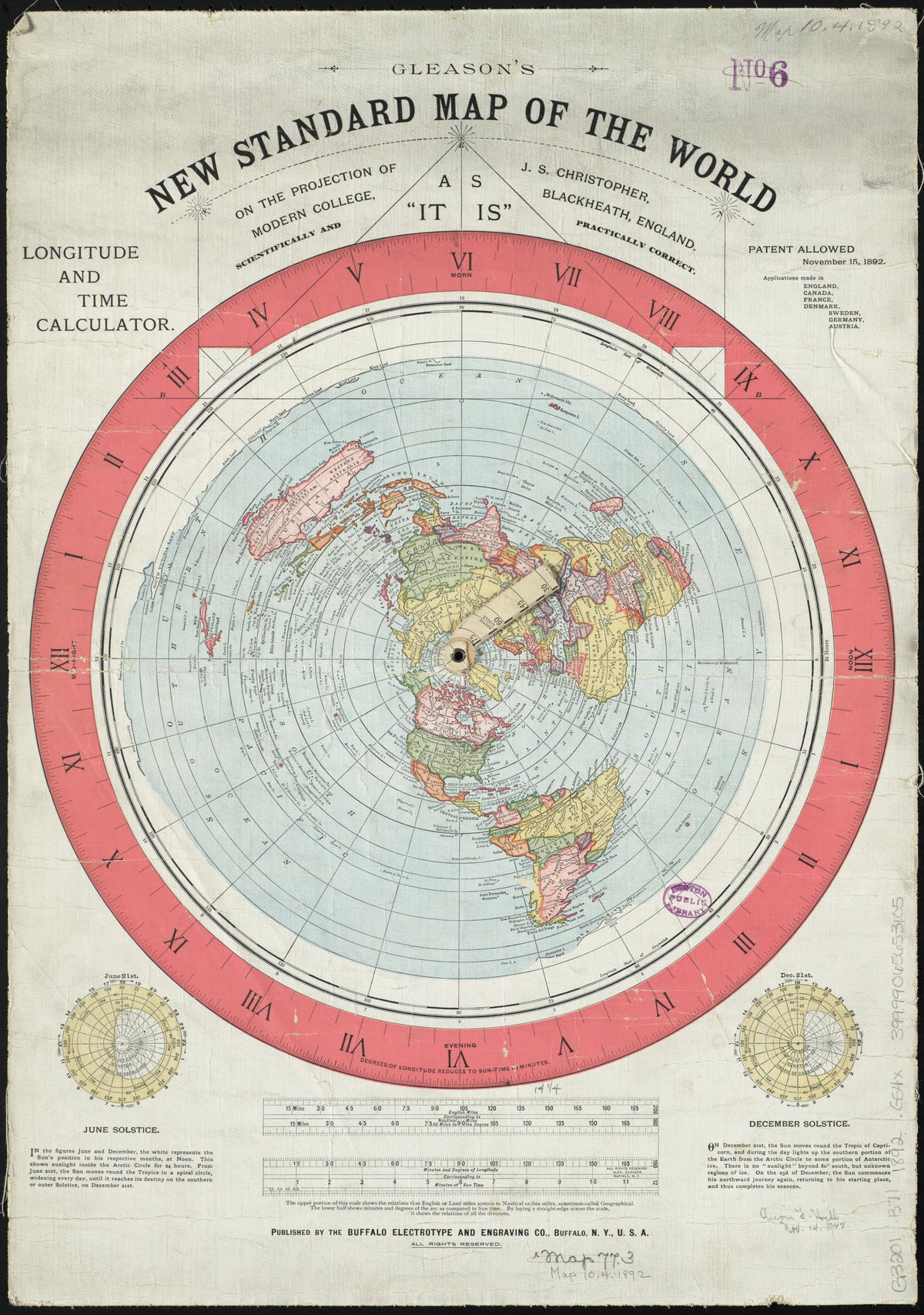
Gleason's New Standard Map of the World by Alexander Gleason — The world spread out from the North Pole
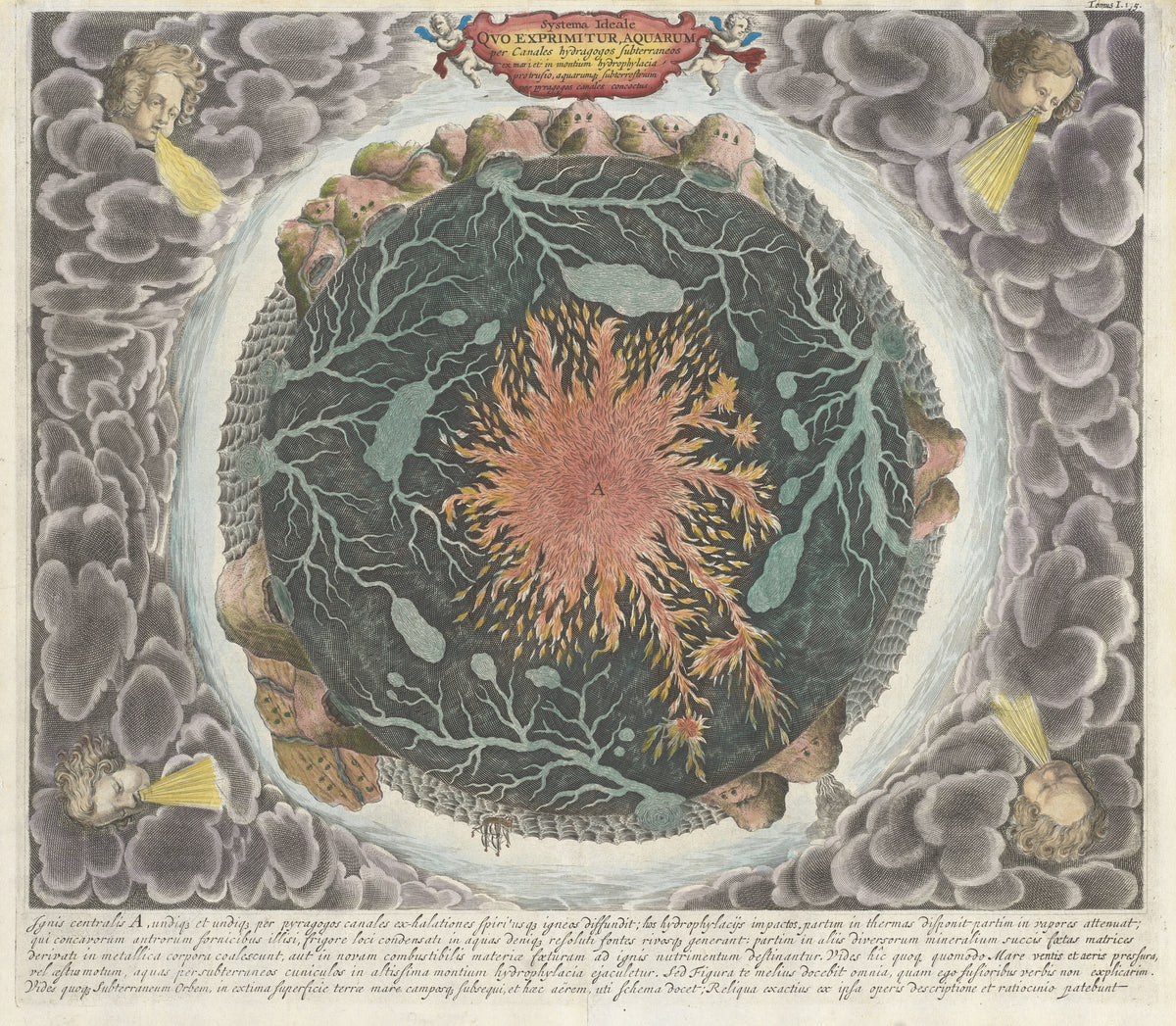
Systema Ideale quo exprimitur Aquarum per Canales Hydragogos Subterraneos by Athanasius Kircher — The Earth cut open: a fiery core and veins of water
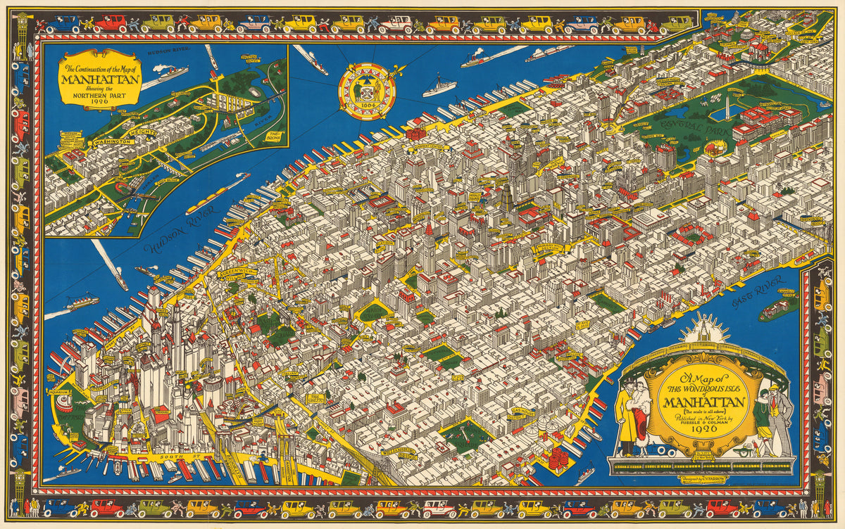
A Map of the Wondrous Isle of Manhattan by C. V. Farrow — Manhattan in bird's-eye view, edged by a border of cars
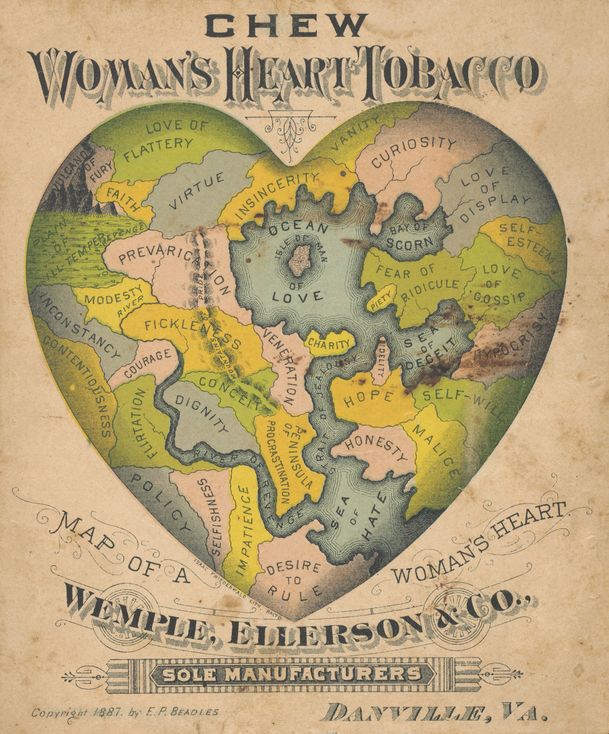
Map of a Woman's Heart by E.P. Beadles — A heart divided into lands of virtue, vanity and hate
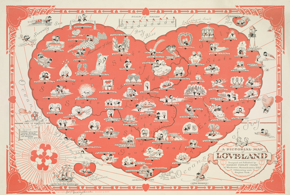
A Pictorial Map of Loveland by Ernest Dudley Chase — A heart-shaped land where little couples roam in coral red
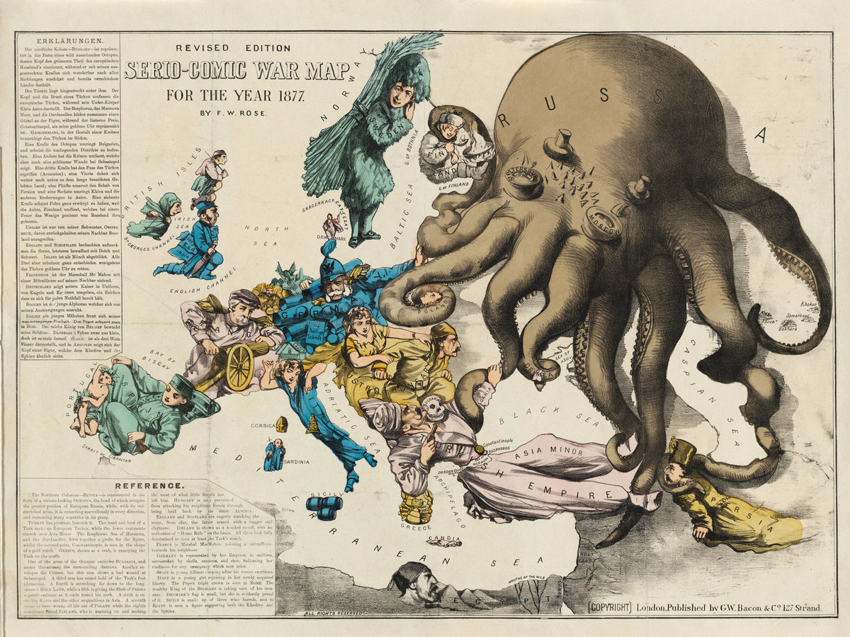
Serio-Comic War Map for the Year 1877 by Frederick W. Rose — A Russian octopus reaching across a costumed Europe
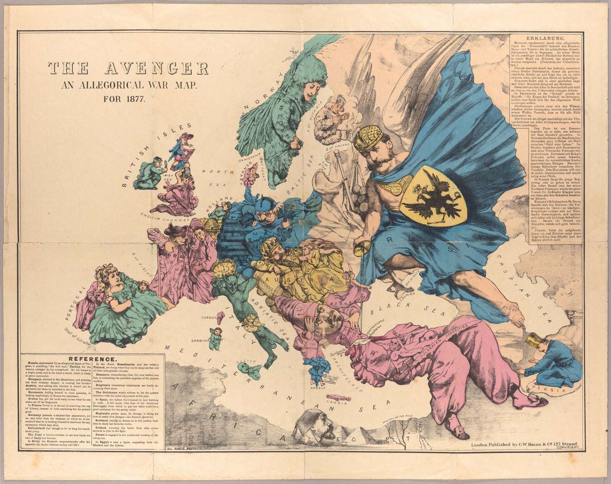
The Avenger: An Allegorical War Map for 1877 by George Washington Bacon — Europe as a cast of figures beneath a striding Russia
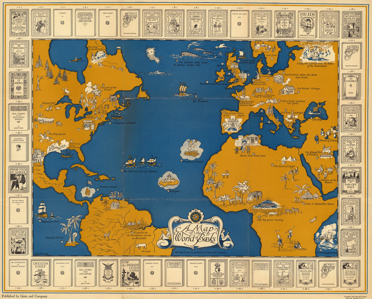
A Map of the World of Books by Ginn and Company — Storybook scenes across an ochre and blue Atlantic
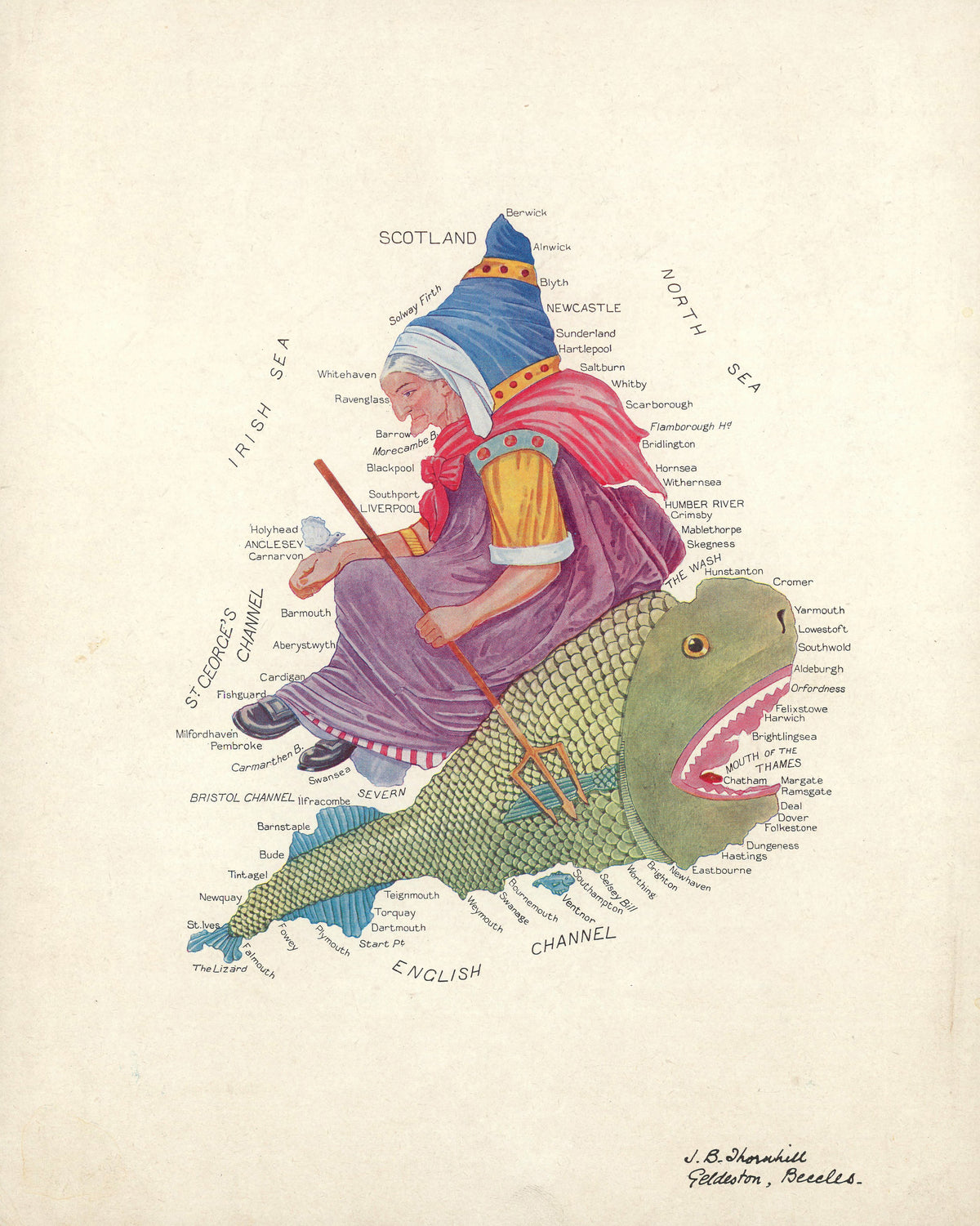
Allegorical Map of England and Wales by J.B. Thornhill — England and Wales as an old woman riding a great fish
Jan Brandes — Labyrinth | Abstract Fine Art Print - 9ArtPrints
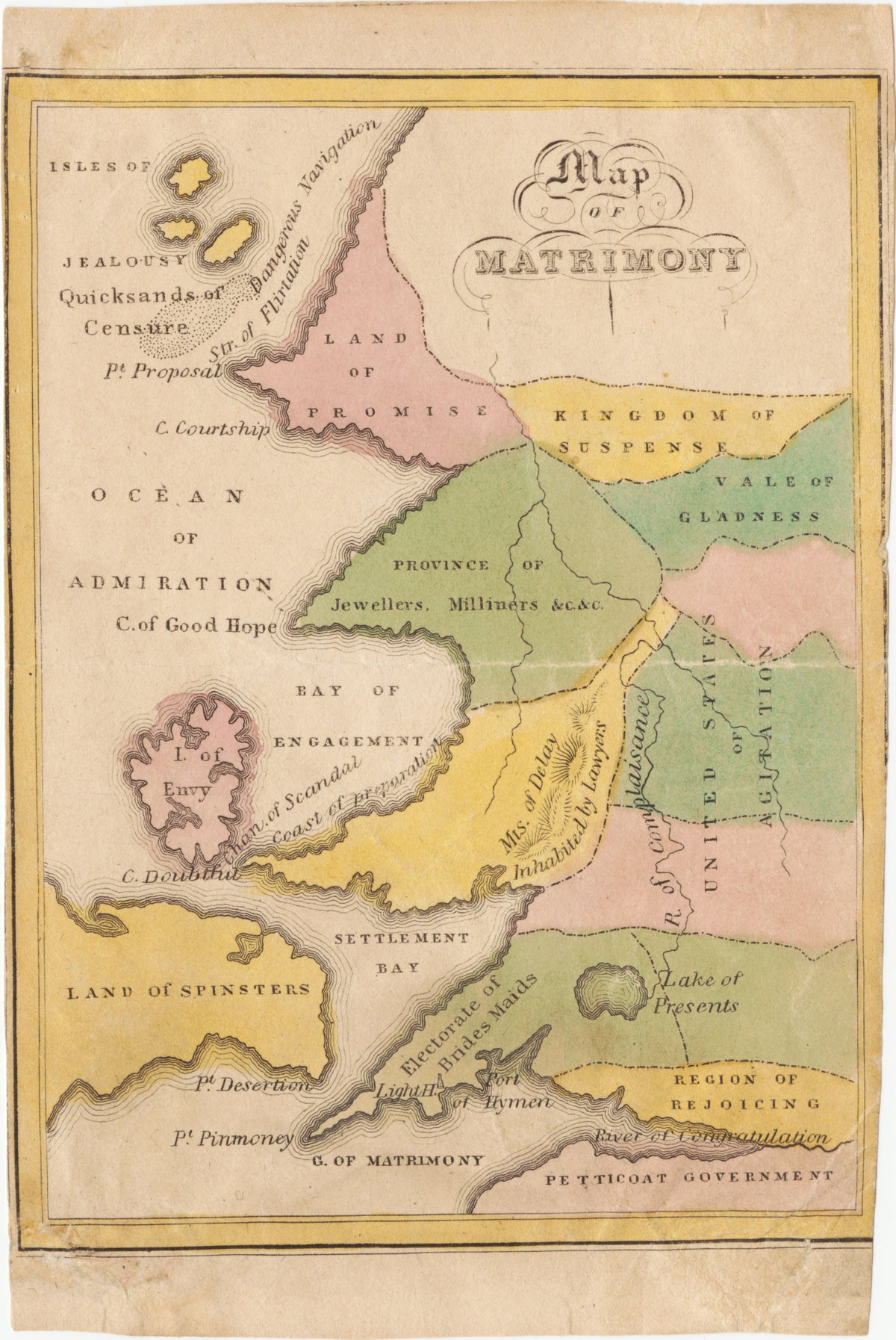
Map of Matrimony by John de Peyster Douw — Courtship and marriage charted as a country of coloured regions
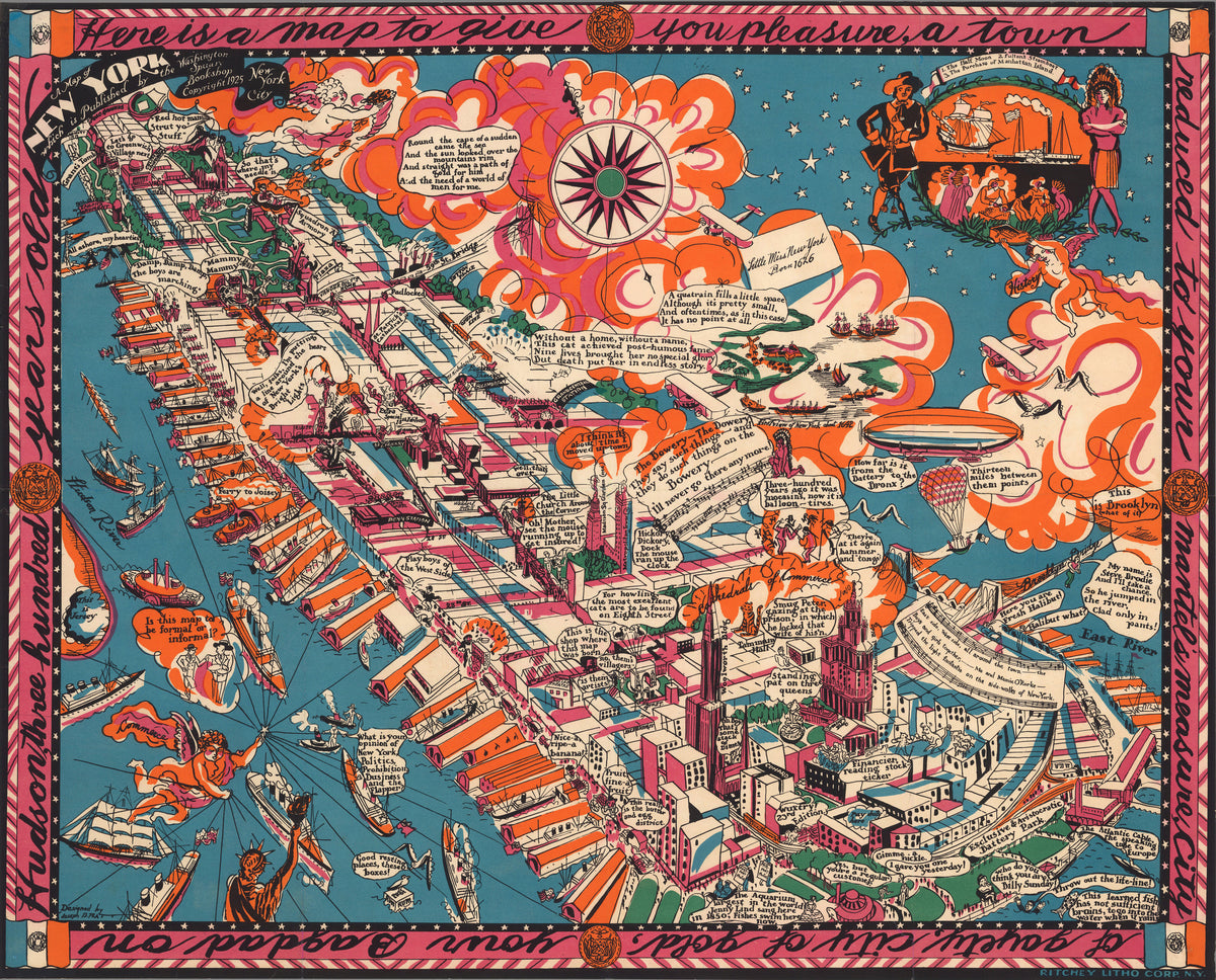
A Map of New York by Joseph B. Platt — Manhattan drawn as a slanting dream of piers and clouds
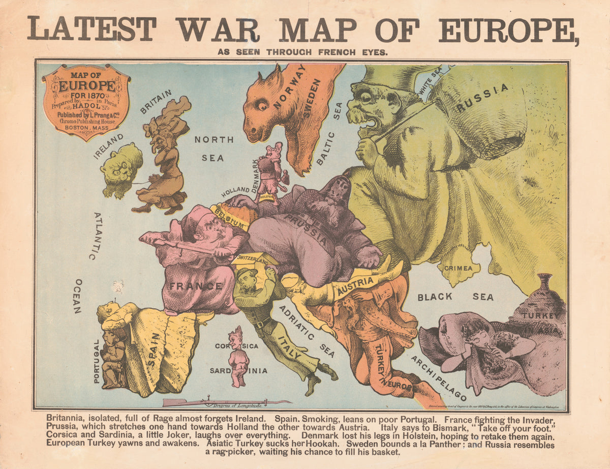
Latest War Map of Europe, as Seen Through French Eyes by Louis Prang & Co. — Europe at war in 1870 as a cast of caricatures
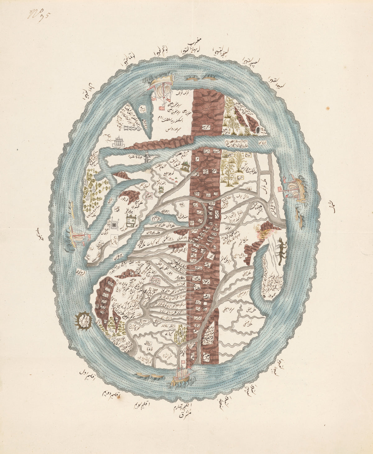
Map of the Islamic World — An oval world ringed by ocean and four sailing ships
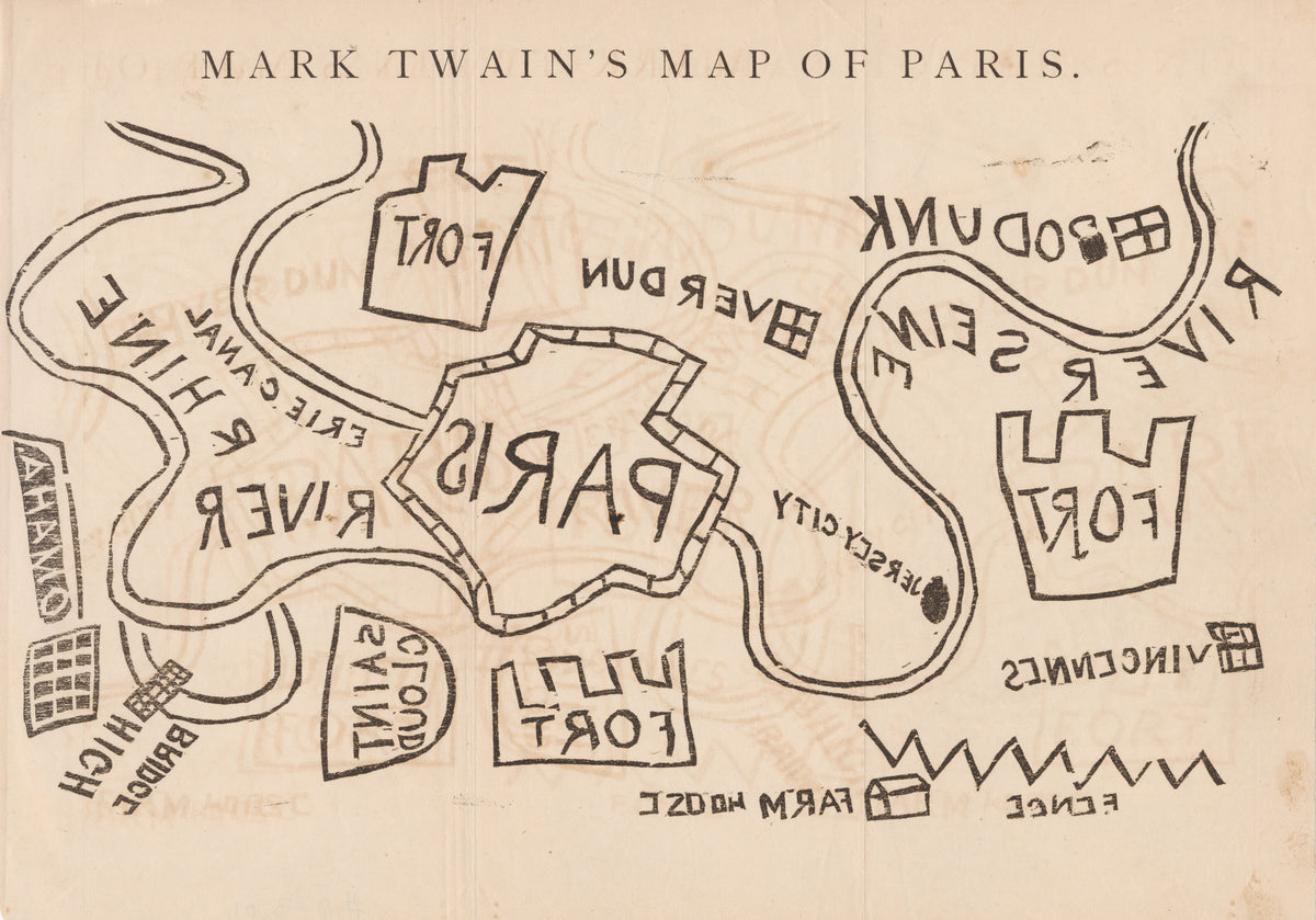
Mark Twain's Map of Paris by Mark Twain — A crude plan of Paris in thick black outlines and mirrored letters
Mons Philosophorum: the Mountain of the Philosophers by Unknown artist — Seekers approach a crowned mountain guarded by a green lion
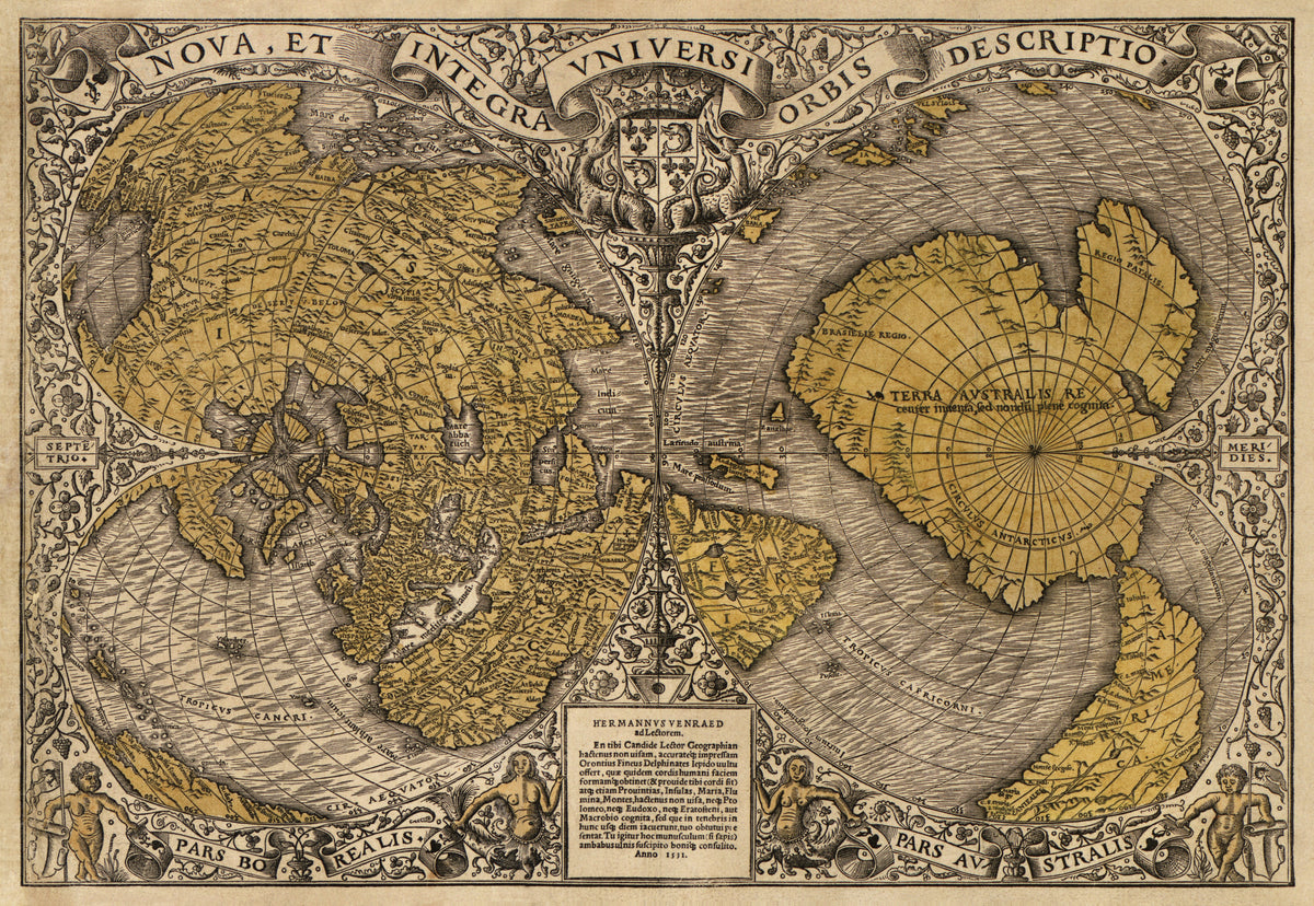
Nova et Integra Universi Orbis Descriptio by Oronce Finé — The world drawn as a double heart in ochre and grey woodcut
Andreas Cellarius — A Spherical View of the Northern Heaven and Earth (Plate 25) | Celestial Map Print - 9ArtPrints
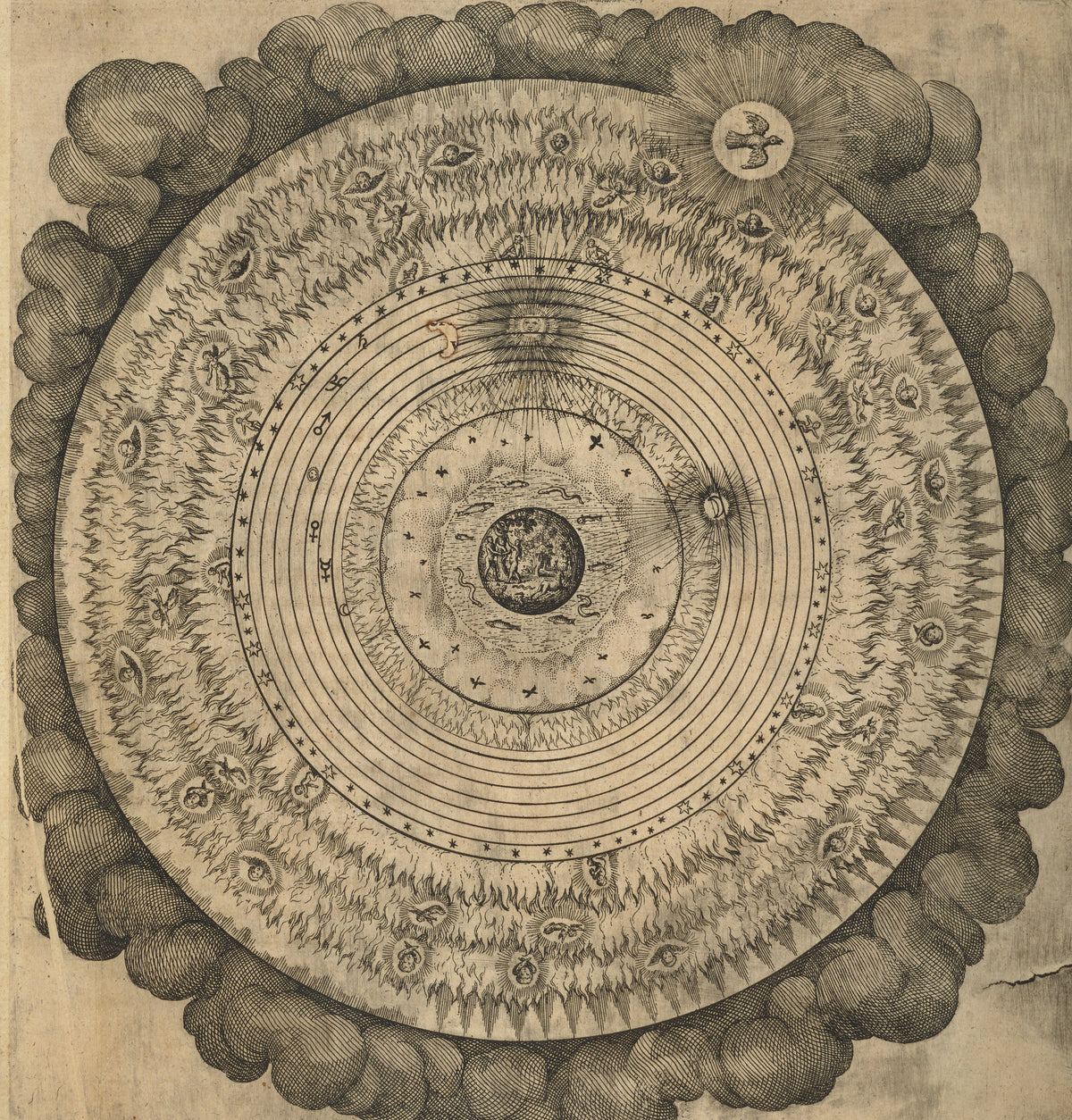
The Macrocosm: Concentric Spheres in Clouds (Utriusque Cosmi, Tractatus Primus) by Robert Fludd — The universe in rings of fire and stars wrapped in a wreath
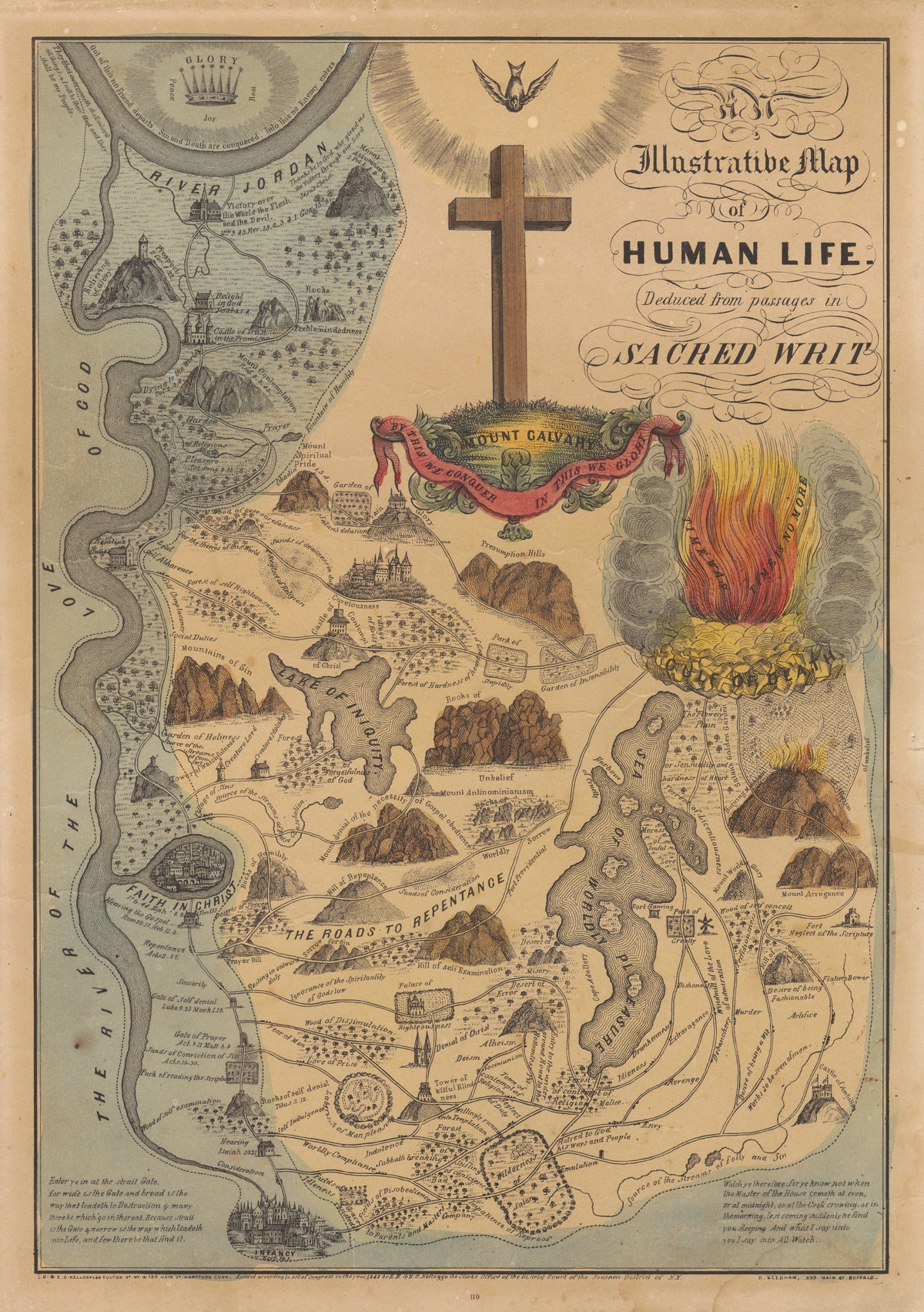
An Illustrative Map of Human Life Deduced from Passages in Sacred Writ by E.B. & E.C. Kellogg — A Christian life charted as roads, mountains and a sea
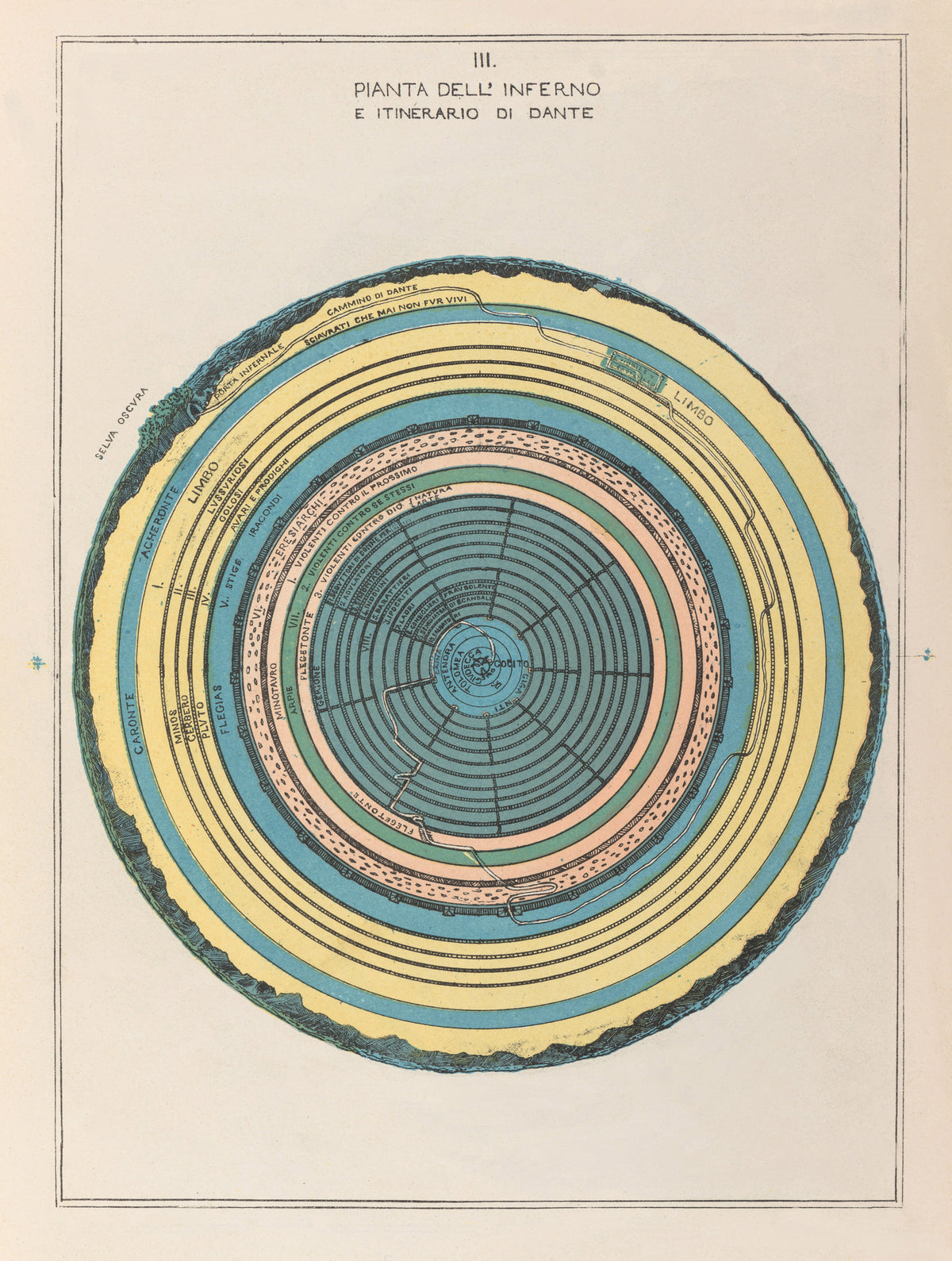
Map of Hell by Michelangelo Caetani — Concentric coloured rings chart Dante's descent
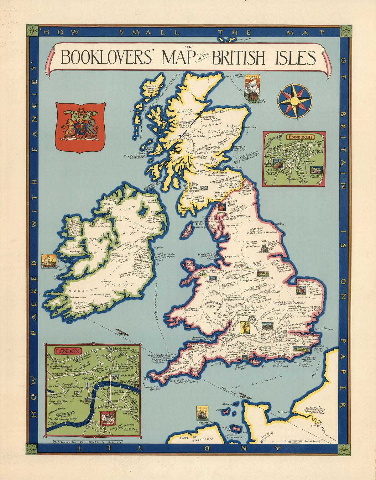
The Booklovers' Map of the British Isles by Paul Mayo Paine — The British Isles dotted with literary landmarks
Andreas Cellarius — The Magnitudes of the Celestial Bodies (Plate 10, Gold Colouring) | Celestial Map Print - 9ArtPrints
Planetarium: opus de fabrica jorarii magistralis by Unknown artist — A golden sun rides a red pointer across rings of zodiac names
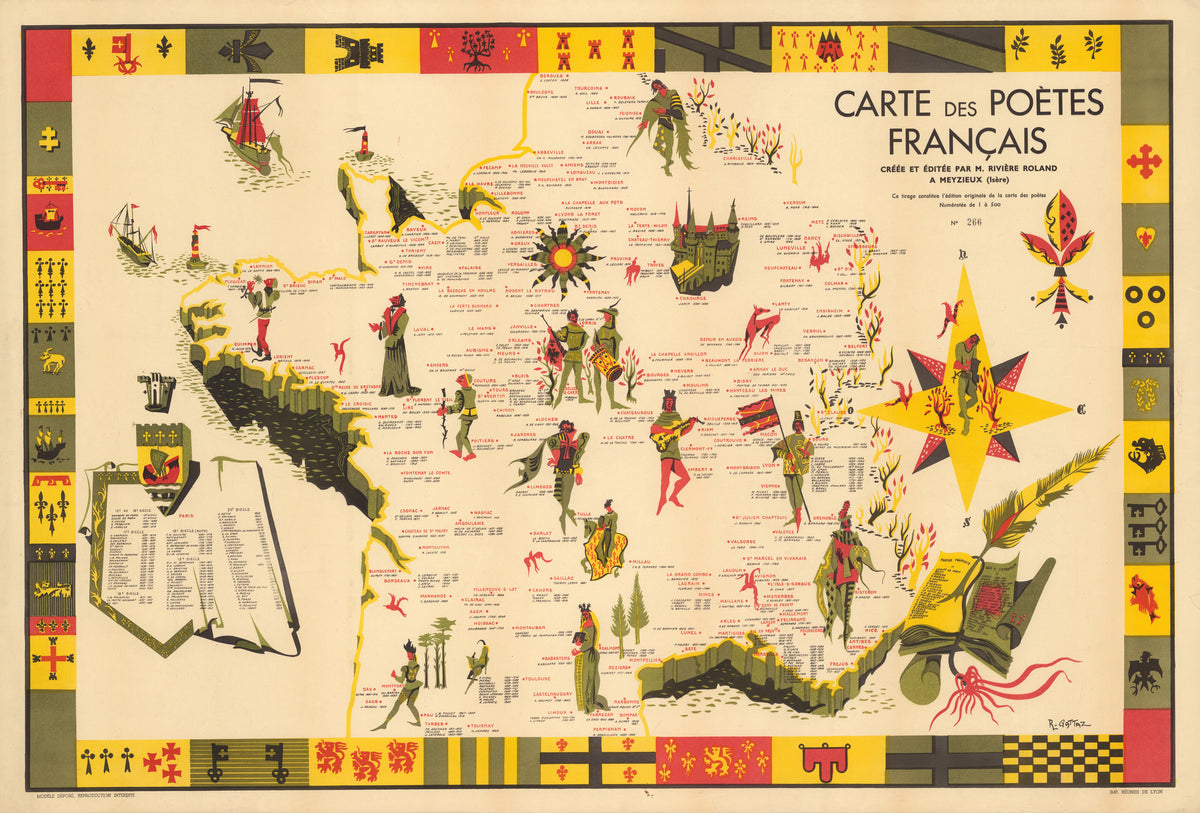
Carte des Poètes Français by R. Gattaz — France mapped by its poets, edged in heraldic blocks
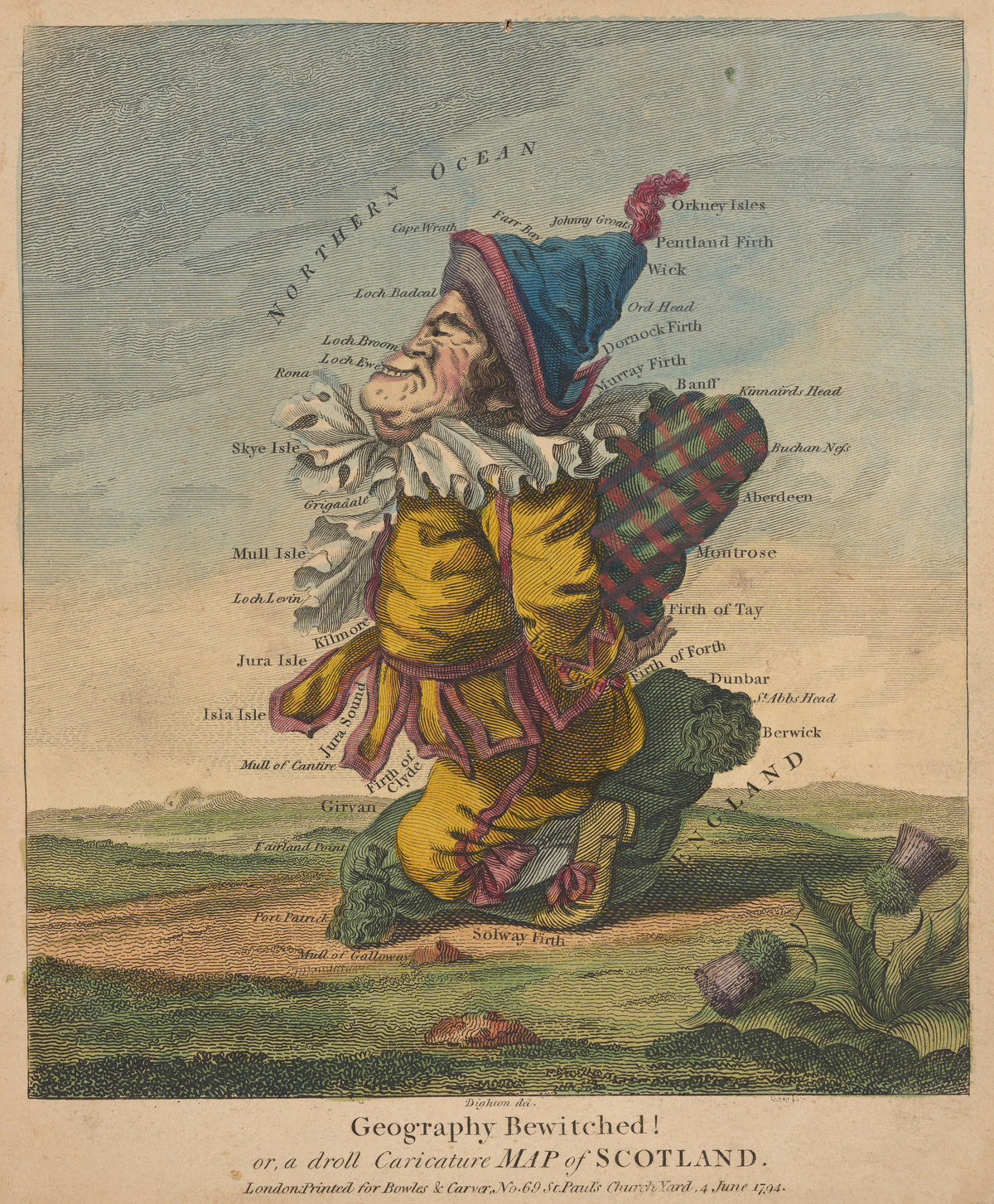
Geography Bewitched! Or, a Droll Caricature Map of Scotland by Robert Dighton — Scotland drawn as a grinning Highlander in a plaid
Utriusque Cosmi, the Primordial Plate on Page 43 by Robert Fludd — Rings of flame, water and cloud circle a sun with a face
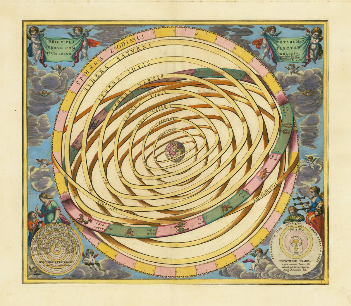
Andreas Cellarius — The Orbits of the Planets Encircling the Earth (Plate 3, Azure Colouring) | Celestial Map Print - 9ArtPrints
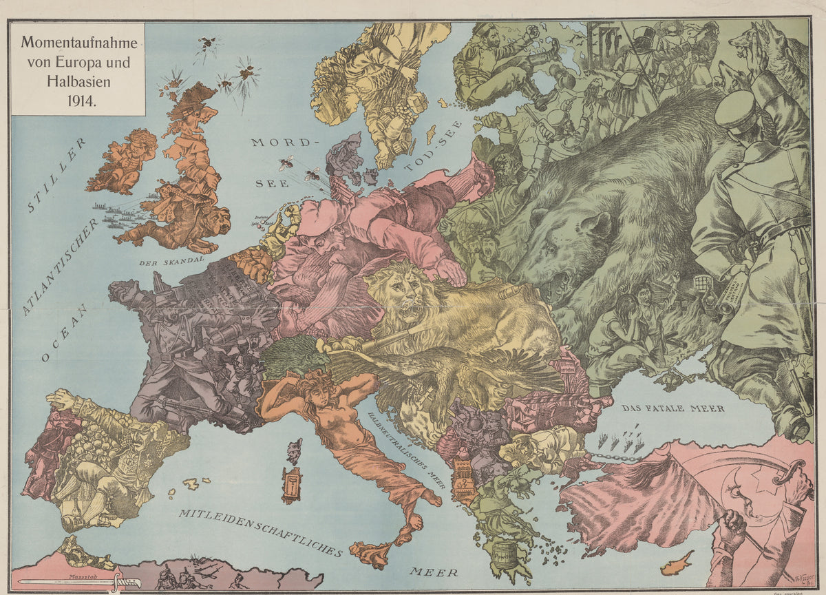
Momentaufnahme von Europa und Halbasien 1914 by W. Kaspar — Europe in 1914 drawn as a bear, a lion, a bulldog and soldiers
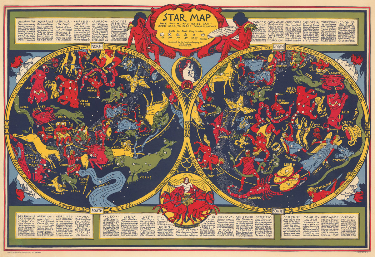
Star Map by Elizabeth Shurtleff — Two star maps of red, yellow and green constellation figures
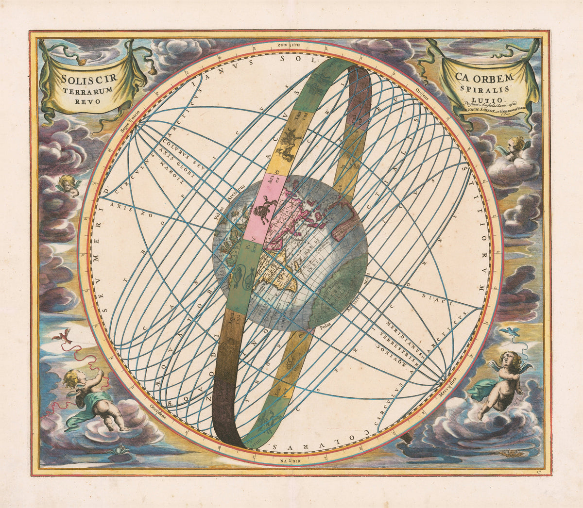
Andreas Cellarius — The Spiral Revolution of the Sun about the Earth (Plate 17) | Celestial Map Print - 9ArtPrints